Rechneigrabenweiher, Urban pond in Frankfurt, Germany
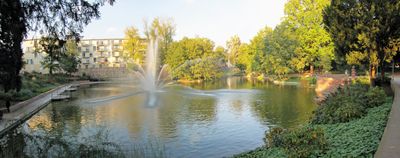
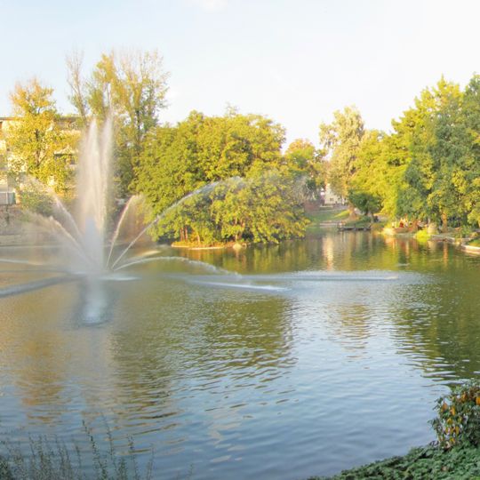
Rechneigrabenweiher is a pond set within Frankfurt's green belt system, roughly 0.8 hectares in size. The water sits at the park's southeastern edge and provides a quiet spot for walking and watching wildlife.
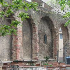
The pond occupies the southeastern moat of Frankfurt's former city fortifications, south of the Allerheiligentor. After the walls were razed in 1812, the Obermainanlage was laid out on its northern, eastern and southern banks, while remnants of the city wall still border the northwestern and western shores. The water covers about 0.8 hectares, measures roughly 135 m by 60 m, and holds a small wooded island in the north and a tall fountain in the southern basin.
The pond lies in the Obermainanlage, the park laid out after the city wall was razed in 1812. Its name recalls the Rechneigraben, the drainage ditch of the fortifications. On the south bank stands the grave of Jakob Guiollett, the only person granted burial in the Wallanlagen for directing their creation.
The pond is easily reached by S-Bahn lines S1-6 and S8 at Ostendstraße station or trams 11 and 14 at Allerheiligentor stop. The surrounding area is flat and walkable, making casual loops around the water straightforward.
Jakob Guiollett (1746–1815) directed the demolition of Frankfurt's fortifications and the laying out of the Wallanlagen from 1806 to 1812 under Prince Primate Karl Theodor von Dalberg. His grave lies on the pond's south shore, the only burial ever granted inside the grounds.
The community of curious travelers
AroundUs brings together thousands of curated places, local tips, and hidden gems, enriched daily by 93,841 contributors worldwide.