
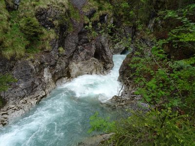
Eisenbreche und Auelesgasse SE von Hinterstein
Eisenbreche und Auelesgasse SE von Hinterstein, Geotop in Landkreis Oberallgäu in Bavaria, Germany
Location: Bad Hindelang
Elevation above the sea: 940 m
Length: 1,500 m
Width: 20 m
GPS coordinates: 47.45603,10.43566
Latest update: March 9, 2025 20:28

Kutschenmuseum Hinterstein
2.9 km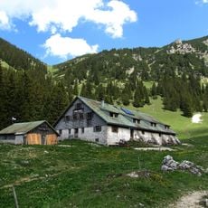
Willersalpe
2.7 km
Gaishorn
3.4 km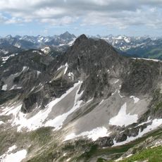
Rauhhorn
2.5 km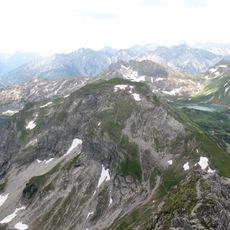
Kugelhorn
2.7 km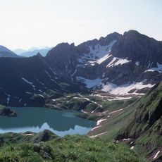
Kastenkopf
3.8 km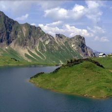
Älpelekopf
2.4 km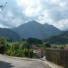
Breitenberg
4.3 km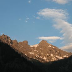
Kleiner Daumen
3.9 km
Heubatspitze
4.1 km
Kälbelespitze
4.1 km
Lahnerkopf
3.6 km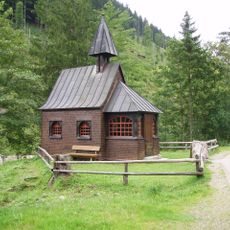
Hubertuskapelle (Ostrachtal)
2.3 km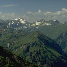
Roßkopf (Allgäu Alps)
3.3 km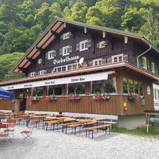
Giebelhaus
4.2 km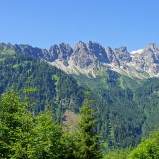
Mittagspitze
1.5 km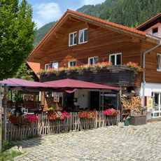
Grüner Hut
2.7 km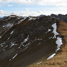
Knappenkopf
3.2 km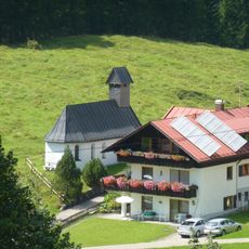
Marienkapelle
4.2 km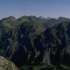
Schänzlespitze
3.9 km
Ehemaliges Bauernhaus
2.4 km
Unterschrattenberg-Hütten
4.3 km
St. Anthony
3.5 km
Ehemaliges Kaplanhaus
3.6 km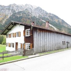
Talstraße 30
3.8 km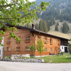
Sangenweg 3
3.6 km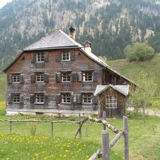
Ehemaliges Bauernhaus
2.4 km
Ehemaliges Bauernhaus
2.6 kmVisited this place? Tap the stars to rate it and share your experience / photos with the community! Try now! You can cancel it anytime.
Discover hidden gems everywhere you go!
From secret cafés to breathtaking viewpoints, skip the crowded tourist spots and find places that match your style. Our app makes it easy with voice search, smart filtering, route optimization, and insider tips from travelers worldwide. Download now for the complete mobile experience.

A unique approach to discovering new places❞
— Le Figaro
All the places worth exploring❞
— France Info
A tailor-made excursion in just a few clicks❞
— 20 Minutes