
Buchenwälder um Klingenthal, protected area in the European Union defined by the habitats directive in Sachsen, Germany
Location: Muldenhammer
Location: Klingenthal
Location: Markneukirchen
Inception: 2002
GPS coordinates: 50.37514,12.44757
Latest update: April 23, 2025 07:45
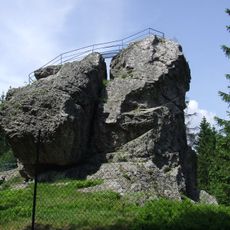
Schneckenstein
4.3 km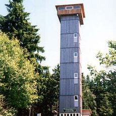
Aschberg
4.6 km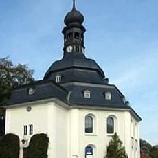
Zum Friedefürsten church
2.4 km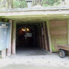
Grube Tannenberg
4.6 km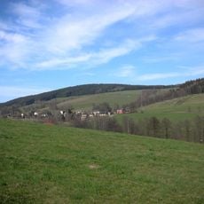
Hoher Brand
5.6 km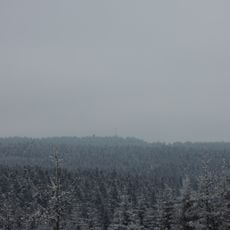
Kiel
3.8 km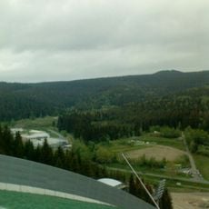
Schwarzberg
1.4 km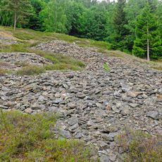
Tisovec
5.1 km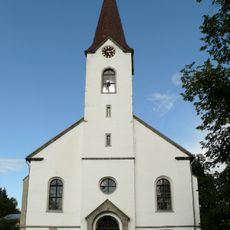
Church of the Assumption of the Virgin Mary
4 km
Zelenohorská hruška
5 km
Modřín u Stříbrného potoka
5.5 km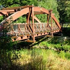
Most přes Svatavu na stezce severozápadně od Kraslic
4.2 km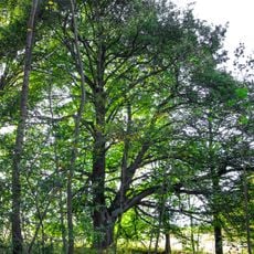
Lípa v Krásné u Kraslic
5.7 km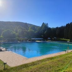
Freibad Klingenthal
1.6 km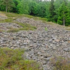
Tisovec
5.1 km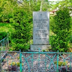
Pomník obětem fašismu
3.9 km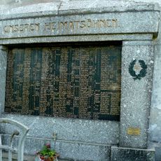
World War I memorial
4 km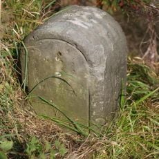
Kgl.-sächs. Postmeilenstein Mühlleithen
4.3 km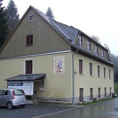
Schaubergwerk Schneckenstein; Grube Tannenberg (Sachgesamtheit) Schneckenstein (Tannenbergsthal)
4.7 km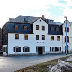
Musik- und Wintersportmuseum
2.6 km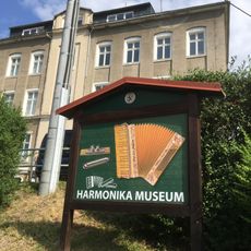
Harmonikamuseum Zwota
2.6 km
Aquapark Bublava
4 km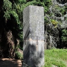
Station 24 Aschberg
4.6 km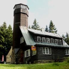
Rozhledna Olověný vrch
4.5 km
Rathaus Markneukirchner Straße 32
3 km
Station 141 Kiel
3.8 km
Wohnhaus mit Einfriedung Grenzstraße 15
3.4 km
Most silnice II/210 přes Svatavu severozápadně od Kraslic
4.3 kmReviews
Visited this place? Tap the stars to rate it and share your experience / photos with the community! Try now! You can cancel it anytime.
Discover hidden gems everywhere you go!
From secret cafés to breathtaking viewpoints, skip the crowded tourist spots and find places that match your style. Our app makes it easy with voice search, smart filtering, route optimization, and insider tips from travelers worldwide. Download now for the complete mobile experience.

A unique approach to discovering new places❞
— Le Figaro
All the places worth exploring❞
— France Info
A tailor-made excursion in just a few clicks❞
— 20 Minutes