Klingenthal, Mountain town in Vogtland region, Germany.
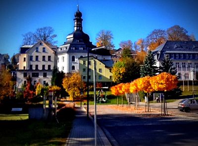
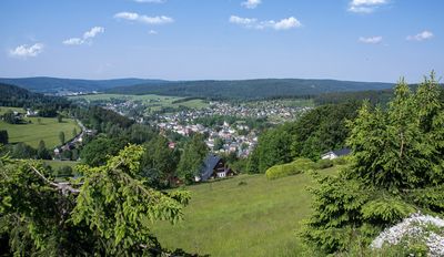
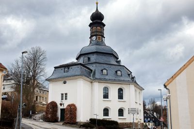
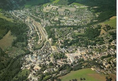
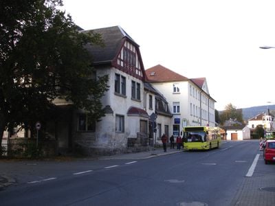
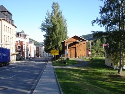
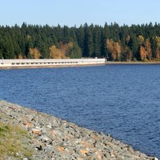
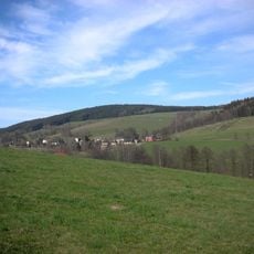
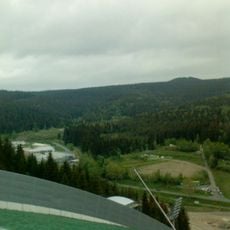
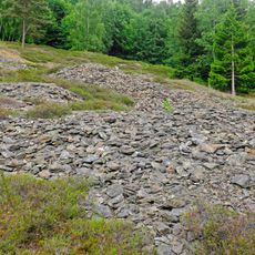
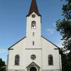
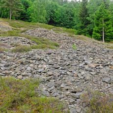
Klingenthal is a mountain town in the Vogtland region of southeastern Saxony at approximately 569 meters elevation. The landscape is dominated by forests, and the town spreads across hilly terrain with traditional buildings and modern facilities.
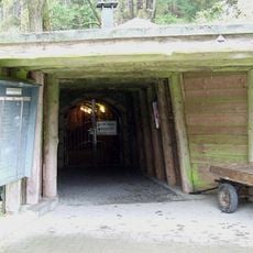
The town originated in 1602 as a hammer mill site that attracted blacksmiths and miners to extract iron ore from the region. In the 18th century it developed into a center for musical instrument manufacturing, which redirected the local economy.
Music instrument makers have shaped the town's identity for centuries. Workshops and small factories still reflect this craft tradition, which visitors can experience in local shops and occasional exhibitions.
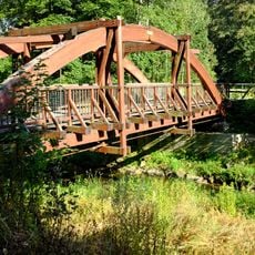
The town is easily accessible and offers several accommodation options plus restaurants and cafés in the town center. Visitors should wear comfortable shoes since the area is hilly and forest walks are popular.
The town sits on an open border with the Czech town of Kraslice and shares cultural ties with this neighboring country. This proximity allows visitors to explore both cultures in a short time.
Location: Vogtlandkreis
Elevation above the sea: 569 m
Shares border with: Kraslice, Stříbrná, Bublava, Grünbach, Schöneck, Markneukirchen, Muldenhammer
Website: https://klingenthal.de
GPS coordinates: 50.36694,12.46861
Latest update: December 14, 2025 19:23
Schneckenstein
5.3 km
Muldenberger Talsperre
6.8 km
Aschberg
3.8 km
Zum Friedefürsten church
1 km
Grube Tannenberg
5.5 km
Hoher Brand
6.3 km
Kiel
4.4 km
Schwarzberg
3.1 km
Tisovec
3.4 km
Church of the Assumption of the Virgin Mary
2.5 km
Zelenohorská hruška
3.3 km
Most přes Svatavu na stezce severozápadně od Kraslic
2.6 km
Goldberg
2.7 km
Zwei Wohnhäuser und Erweiterungsbau Kirchstraße 16 und 18
933 m
Freibad Klingenthal
656 m
Hüttenbach
4.4 km
Tisovec
3.4 km
Pomník obětem fašismu
2.6 km
Königshöhe
5.7 km
Floßgrabensystem Göltzsch-Elster-Flöße (Sachgesamtheit); Kielfloßgraben; Saubachriss Mühlleithen
4.2 km
Zauberwald
3.2 km
Schule Amtsberg 20
767 m
Villa Markneukirchner Straße 18
3.1 km
Villa Krummer Weg 1
1.9 km
Fabrikantenvilla mit Einfriedung Mühlbachweg 1
2.3 km
Ehemalige Schule Schulgasse 4
1.1 km
Hansel-Berg
2.8 km
Herrenberg
3 kmVisited this place? Tap the stars to rate it and share your experience / photos with the community! Try now! You can cancel it anytime.
Discover hidden gems everywhere you go!
From secret cafés to breathtaking viewpoints, skip the crowded tourist spots and find places that match your style. Our app makes it easy with voice search, smart filtering, route optimization, and insider tips from travelers worldwide. Download now for the complete mobile experience.
A unique approach to discovering new places❞
— Le Figaro
All the places worth exploring❞
— France Info
A tailor-made excursion in just a few clicks❞
— 20 Minutes