
Ehemalige Kiesgrube am Südring, nature reserve in Germany
Location: Leverkusen
Inception: 1987
GPS coordinates: 51.02414,7.02134
Latest update: April 23, 2025 10:44

Bayer Cross Leverkusen
2.3 km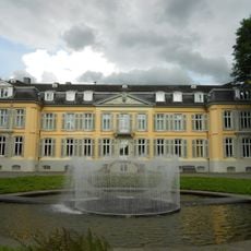
Morsbroich Castle
1.6 km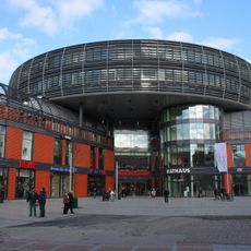
Rathaus-Galerie Leverkusen
2.5 km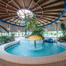
Freizeitbad Calevornia
1.9 km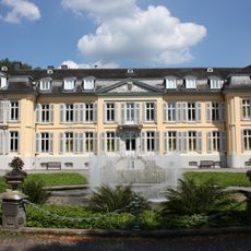
Museum Morsbroich
1.6 km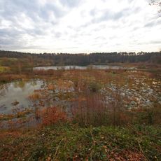
Am Hornpottweg
1.5 km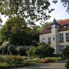
Doktorsburg
2.2 km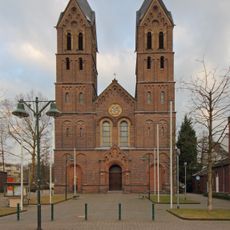
St. Andreas
2.4 km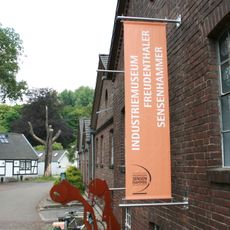
Freudenthaler Sensenhammer
2.5 km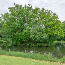
Motte Kurtekotten
1.1 km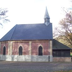
Gezelinkapelle
2 km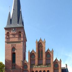
Christuskirche
2.5 km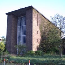
St. Maria Friedenskönigin
2 km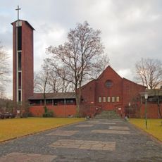
Johanneskirche
800 m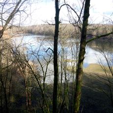
Am Grünen Kuhweg
2 km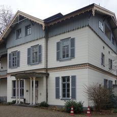
Villa Wuppermann
1.9 km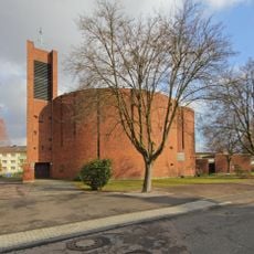
Thomas More Church (Schlebusch)
1 km
St. Albertus Magnus
2.1 km
St. Joseph
1.1 km
Kirche zu Schlebusch
1.9 km
Friedenskirche (Waldsiedlung)
1.7 km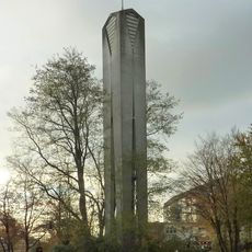
Evangelisches Gemeindezentrum Alkenrath
2.2 km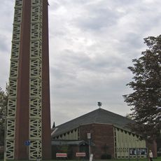
St. Johannes der Täufer (Alkenrath)
2 km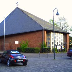
St. Hildegard (Wiesdorf)
1.9 km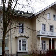
Peillsches Landhaus
2 km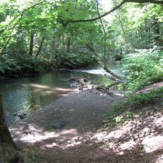
Dhünn
1.9 km
Markuskirche
1.8 km
Forum Leverkusen
2.5 kmReviews
Visited this place? Tap the stars to rate it and share your experience / photos with the community! Try now! You can cancel it anytime.
Discover hidden gems everywhere you go!
From secret cafés to breathtaking viewpoints, skip the crowded tourist spots and find places that match your style. Our app makes it easy with voice search, smart filtering, route optimization, and insider tips from travelers worldwide. Download now for the complete mobile experience.

A unique approach to discovering new places❞
— Le Figaro
All the places worth exploring❞
— France Info
A tailor-made excursion in just a few clicks❞
— 20 Minutes