
Bauernhöfe, protected landscape in Lower Saxony, Germany
Location: Wilhelmshaven
Inception: 1938
GPS coordinates: 53.55310,8.08445
Latest update: March 14, 2025 17:33
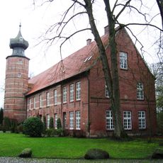
Burg Kniphausen
2.1 km
Heligoland Bird Observatory
2 km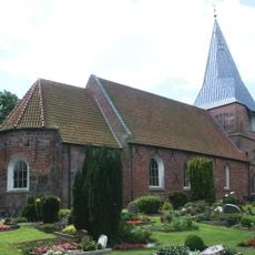
St.-Jakobi-Kirche
2.4 km
Fort Rüstersiel
1.9 km
Botanischer Garten der Stadt Wilhelmshaven
2.1 km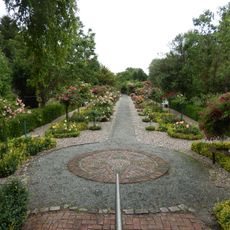
Rosarium Wilhelmshaven
2 km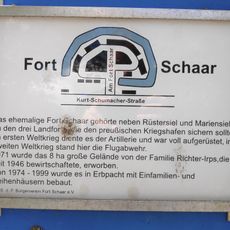
Fort Schaar
1.4 km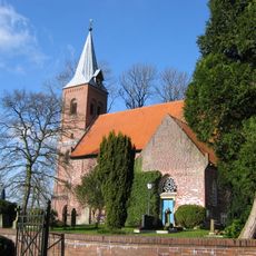
St. Stephanuskirche
3.1 km
Christ the King Church (Wilhelmshaven)
2.5 km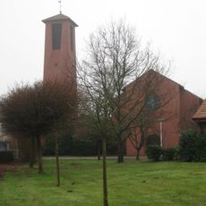
Sankt Michael
1.4 km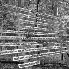
Mahnmal für die Opfer der NS-Militärjustiz
3.1 km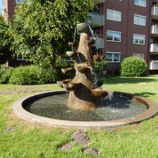
Europaring fountain
2.7 km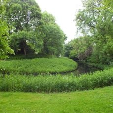
Siebethsburg
2.8 km
Friedhof
1.7 km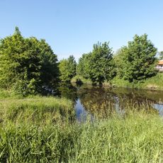
Alte und Neue Maade
2.1 km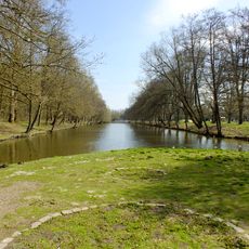
Stadtpark
1.3 km
Steindamm
2.3 km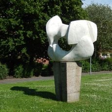
Seagulls
1.5 km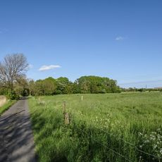
Hohewerther Grashaus
946 m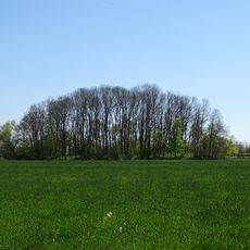
Mönkeburger Busch
1.8 km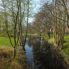
Altengrodener Weg
735 m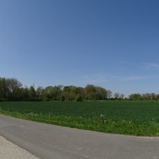
Deichzug Steindamm über Schnapp
1.7 km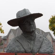
Fritz Höger bust
2.4 km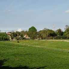
Dorfwarf Hohewerth
1.5 km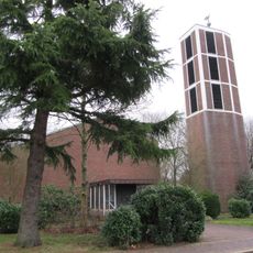
Lutherkirche
3.1 km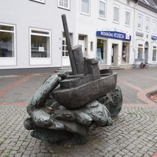
Schiff auf Welle
2.4 km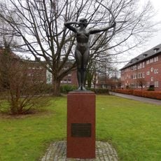
Bogenspannerin
3.2 km
Burg Kniphausen
2.1 kmReviews
Visited this place? Tap the stars to rate it and share your experience / photos with the community! Try now! You can cancel it anytime.
Discover hidden gems everywhere you go!
From secret cafés to breathtaking viewpoints, skip the crowded tourist spots and find places that match your style. Our app makes it easy with voice search, smart filtering, route optimization, and insider tips from travelers worldwide. Download now for the complete mobile experience.

A unique approach to discovering new places❞
— Le Figaro
All the places worth exploring❞
— France Info
A tailor-made excursion in just a few clicks❞
— 20 Minutes