
Hameltal, protected landscape in Lower Saxony, Germany
Location: Hamelin
Inception: 1936
GPS coordinates: 52.12500,9.44188
Latest update: March 21, 2025 16:49

Pied Piper's House
6 km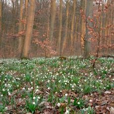
Schweineberg
2.8 km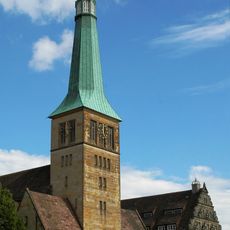
Marktkirche St. Nicolai (Hameln)
6.2 km
Schloss Hasperde
2.3 km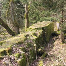
Horst Wessel monument in Lower Saxony
5.3 km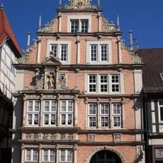
Leisthaus
6.1 km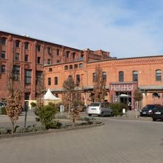
Hefehof
5.4 km
Stiftsherrenhaus
6.1 km
St. Elisabeth
6.1 km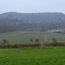
Obensburg
4.9 km
St. Augustinus
5.7 km
Jüdischer Friedhof Hameln
5.6 km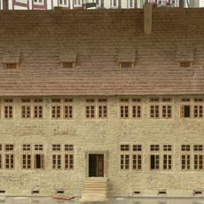
Kiepehof
6.2 km
Neue Synagoge
6.2 km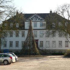
Herrenhaus Diedersen
3.2 km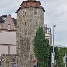
Haspelmathturm
6.1 km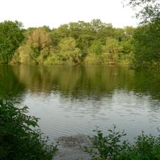
Töneböns Teiche
5.5 km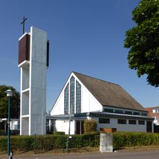
St. Monika
3.8 km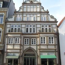
Osterstraße 12
6.1 km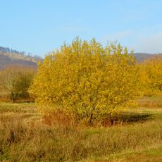
Ehemaliger Standortübungsplatz Pötzen
5.8 km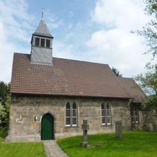
Jakobikirche
5.2 km
Church in Bisperode
5.9 km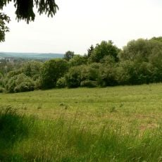
Kalkofen
3 km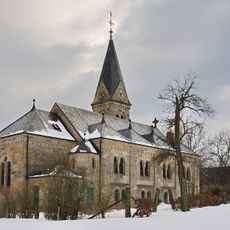
St. Petri
3.5 km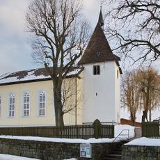
Saint Martin Church
4.9 km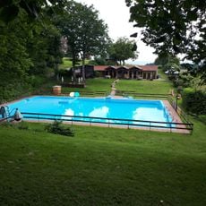
Waldbad Altenhagen I
6.4 km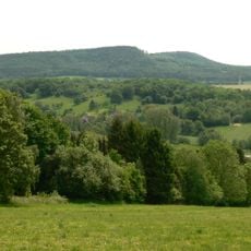
Düt-Berg
2.8 km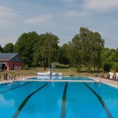
Bad am Ith
6.4 kmReviews
Visited this place? Tap the stars to rate it and share your experience / photos with the community! Try now! You can cancel it anytime.
Discover hidden gems everywhere you go!
From secret cafés to breathtaking viewpoints, skip the crowded tourist spots and find places that match your style. Our app makes it easy with voice search, smart filtering, route optimization, and insider tips from travelers worldwide. Download now for the complete mobile experience.

A unique approach to discovering new places❞
— Le Figaro
All the places worth exploring❞
— France Info
A tailor-made excursion in just a few clicks❞
— 20 Minutes