
Landschaftsschutzgebiet im Landkreis Saarlouis - im Bereich der Stadt Saarlouis
Landschaftsschutzgebiet im Landkreis Saarlouis - im Bereich der Stadt Saarlouis, Landschaftsschutzgebiet im Saarland mit der Kennung L 3.08.25.2
Location: Saarlouis
Inception: 1977
GPS coordinates: 49.31593,6.75774
Latest update: April 12, 2025 03:59
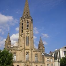
St. Ludwig
453 m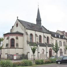
Canisianum
276 m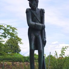
Soldat Lacroix
948 m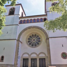
Maria Himmelfahrt
1.9 km
Kloster Fraulautern
879 m
St. Crispinus and St. Crispinianus
1.6 km
Hl. Dreifaltigkeit (Fraulautern)
1.3 km
Evangelical Church
766 m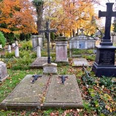
Saarlouis Alter Friedhof
684 m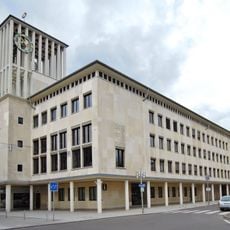
Rathaus Saarlouis
545 m
Katerturm
1 km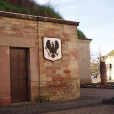
Deutsches Tor
655 m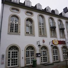
Synagoge Saarlouis
630 m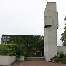
Christkönig
1.4 km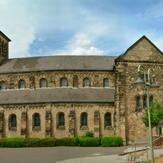
Saint Mary Church
1.8 km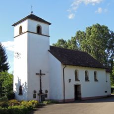
St. Apollonia (Fraulautern)
1.3 km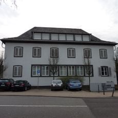
Haus Ludwig
691 m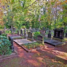
Jüdischer Friedhof
794 m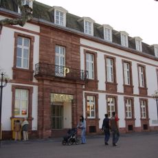
Kommandantur
587 m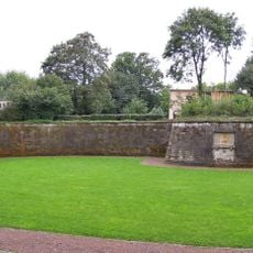
Hornwerk Saarlouis
807 m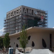
Theater am Ring
633 m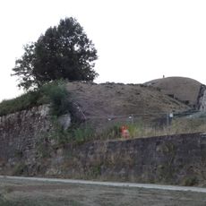
Bastion 6 „Albrecht“
835 m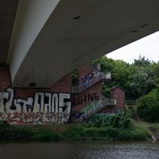
Peter-Neis-Brücke
590 m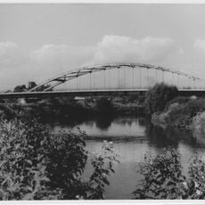
Brücke
1.3 km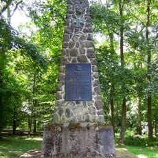
World War I memorial
924 m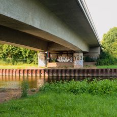
Gustav-Heinemann-Brücke
1.1 km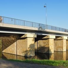
Alte Saarbrücke
724 m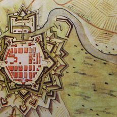
Festung Saarlouis
648 mReviews
Visited this place? Tap the stars to rate it and share your experience / photos with the community! Try now! You can cancel it anytime.
Discover hidden gems everywhere you go!
From secret cafés to breathtaking viewpoints, skip the crowded tourist spots and find places that match your style. Our app makes it easy with voice search, smart filtering, route optimization, and insider tips from travelers worldwide. Download now for the complete mobile experience.

A unique approach to discovering new places❞
— Le Figaro
All the places worth exploring❞
— France Info
A tailor-made excursion in just a few clicks❞
— 20 Minutes