
LSG-Kirchlinde-Rahm, protected area in Germany
Location: Dortmund
Inception: 1996
GPS coordinates: 51.53156,7.36772
Latest update: March 14, 2025 18:55
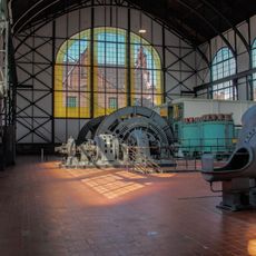
Zollern II/IV Colliery
2.8 km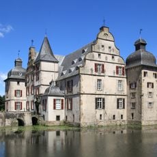
Haus Bodelschwingh
2.2 km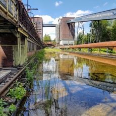
Kokerei Hansa
3.3 km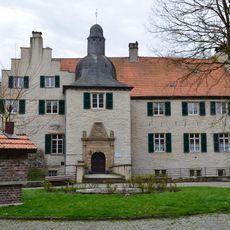
Wasserschloss Haus Dellwig
2.8 km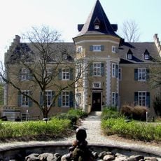
Schloss Westhusen
2 km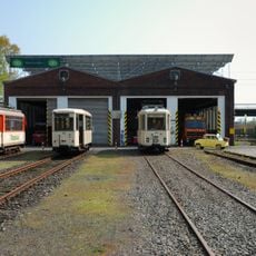
Nahverkehrsmuseum Dortmund
3.3 km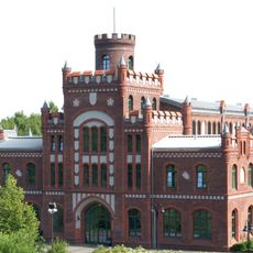
Zeche Adolf von Hansemann
3.8 km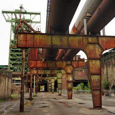
LWL-Industriemuseum
2.8 km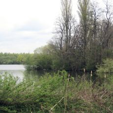
Hallerey
3.2 km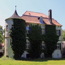
Haus Goldschmieding
3.8 km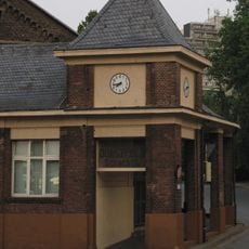
Zeche Dorstfeld
3.8 km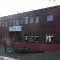
Binarium
3.4 km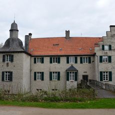
Heimatmuseum Lütgendortmund
2.8 km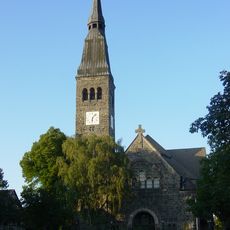
Immanuel-Kirche
2.4 km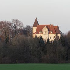
Haus Dorloh
3 km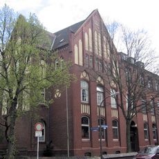
Westfälisches Schulmuseum Dortmund
2.6 km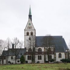
St. Josef
666 m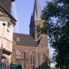
Lutherkirche
4.2 km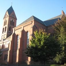
St. Magdalena, Lütgendortmund
4.2 km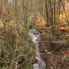
Dellwiger Bach
3.4 km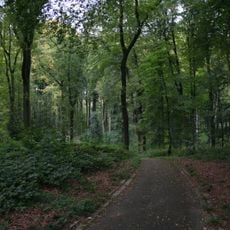
Volksgarten Lütgendortmund
3.7 km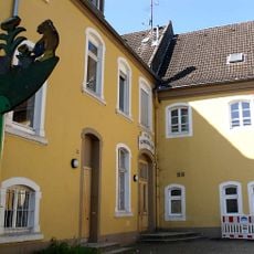
Franziskanerterziarinnenkloster Lütgendortmund, genannt Marienborn
4.2 km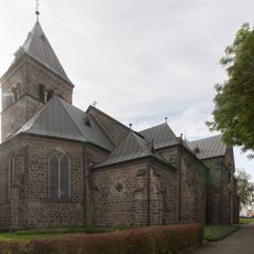
St. Urbanus
3.4 km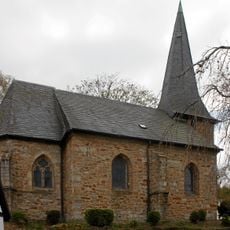
Ev. Kirche (Dortmund-Bodelschwingh)
2.3 km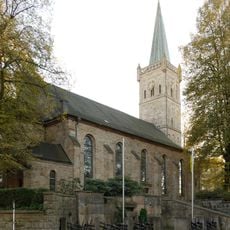
Bartholomaeuskirche Lütgendortmund
4.1 km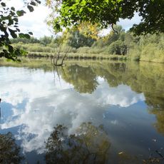
Mastbruch
1.2 km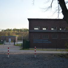
Pumpwerk Nettebach
2.1 km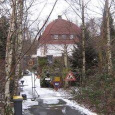
Emscherpumpwerk Huckarde
3.4 kmReviews
Visited this place? Tap the stars to rate it and share your experience / photos with the community! Try now! You can cancel it anytime.
Discover hidden gems everywhere you go!
From secret cafés to breathtaking viewpoints, skip the crowded tourist spots and find places that match your style. Our app makes it easy with voice search, smart filtering, route optimization, and insider tips from travelers worldwide. Download now for the complete mobile experience.

A unique approach to discovering new places❞
— Le Figaro
All the places worth exploring❞
— France Info
A tailor-made excursion in just a few clicks❞
— 20 Minutes