
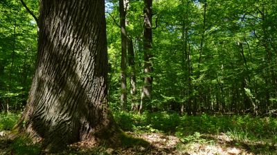
Cananohe, forest reserves in Germany
Location: Hanover region
Inception: 1974
GPS coordinates: 52.48486,9.66527
Latest update: March 10, 2025 17:23

Christoph Niedersachsen
3 km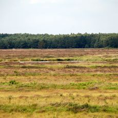
Bissendorfer Moor
2.3 km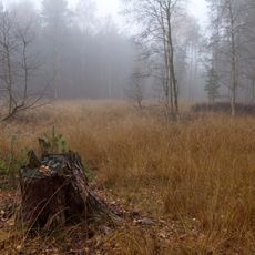
Schwarzes Moor bei Resse
4 km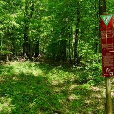
Kananohe
119 m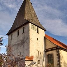
Martinskirche
4.3 km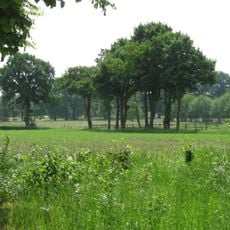
Ellernbruch
1.1 km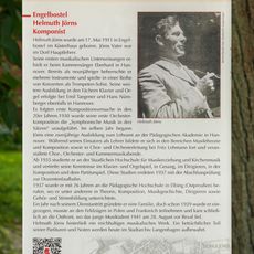
GLIEM Tafel 90 Helmuth Jörns
4.3 km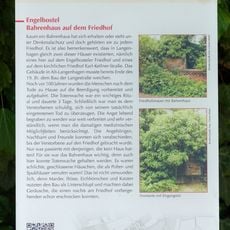
GLIEM Tafel 103 Bahrenhaus auf dem Friedhof Engelbostel
4.2 km
Up and away
3.9 km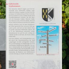
GLIEM Tafel 54 Straßennamen
3.9 km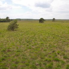
Bissendorfer Moor II
3.6 km
GLIEM Tafel 62 Hannover Airport
3.6 km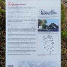
GLIEM Tafel 70 Gasthof Tegtmeyer „Zum alten Krug“
4.2 km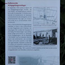
GLIEM Tafel 51 Kriegsgefangenenlager
1.3 km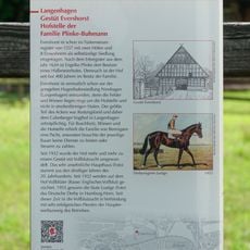
GLIEM Tafel 17 Gestüt Evershorst, Hofstelle der Familie Plinke-Buhmann
4 km
GLIEM Tafel 86 Luhmanns Gasthaus zur Post
4.2 km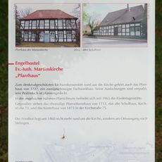
GLIEM Tafel 8 Das Pfarrhaus
4.3 km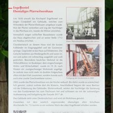
GLIEM Tafel 113 Ehemaliges Pfarrwitwenhaus
4.3 km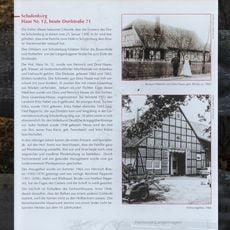
GLIEM Tafel 112 Haus Nr. 12, heute Dorfstraße 71
4.1 km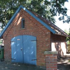
Feuerwehrgerätehaus Resse
3.3 km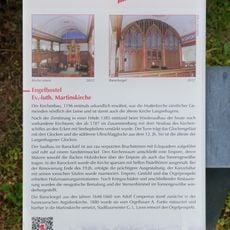
GLIEM Tafel 6 Ev.-luth. Martinskirche
4.3 km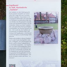
GLIEM Tafel 7 Ev.-luth. Martinskirche - Taufstein
4.3 km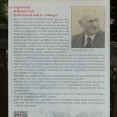
GLIEM Tafel 95 Wilhelm Hirte, Ortschronist und Ehrenbürger
4 km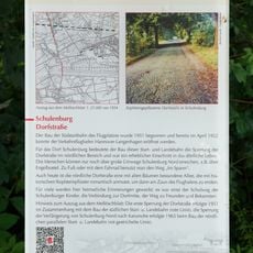
GLIEM Tafel 48 Dorfstraße
3.9 km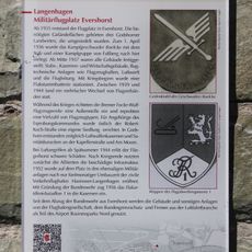
GLIEM Tafel 61 Militärflugplatz Evershorst
3.7 km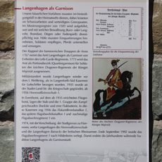
GLIEM Tafel 60 Langenhagen als Garnison
3.7 km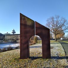
Tor zur Welt
3.4 km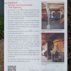
GLIEM Tafel 71 Hof Tegtmeyer - Speicher und Getreidemühle
4.2 kmReviews
Visited this place? Tap the stars to rate it and share your experience / photos with the community! Try now! You can cancel it anytime.
Discover hidden gems everywhere you go!
From secret cafés to breathtaking viewpoints, skip the crowded tourist spots and find places that match your style. Our app makes it easy with voice search, smart filtering, route optimization, and insider tips from travelers worldwide. Download now for the complete mobile experience.

A unique approach to discovering new places❞
— Le Figaro
All the places worth exploring❞
— France Info
A tailor-made excursion in just a few clicks❞
— 20 Minutes