
Fort XIII, part of the former inner ring of forts in Cologne, Germany, on the right (Eastern) bank of the River Rhine
Location: Deutz
Inception: 1861
Part of: Forts in Cologne
GPS coordinates: 50.92474,6.97985
Latest update: July 3, 2025 12:03
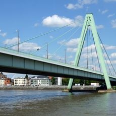
Severinsbrücke
1.1 km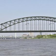
South Bridge
1.1 km
Essigfabrik
127 m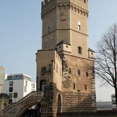
Bayenturm
910 m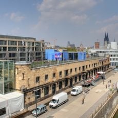
Deutsches Sport & Olympia Museum
1.3 km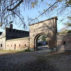
Friedenspark
1.2 km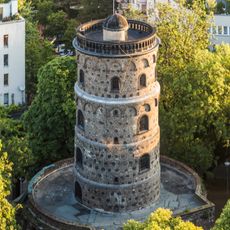
Bottmühle (Köln)
1.2 km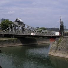
Drehbrücke
574 m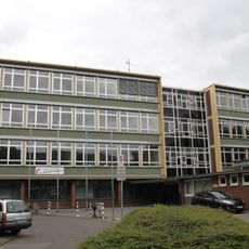
Berufskolleg Deutzer Freiheit
1.3 km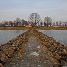
Poller Köpfe
1.3 km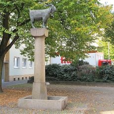
Düxer Bock
1.1 km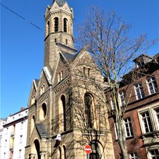
St. Johanneskirche (Köln-Deutz)
1.3 km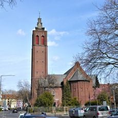
St. Engelbert
1.3 km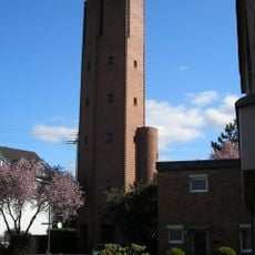
St. Dreifaltigkeit
971 m
Bürgerhaus Stollwerck
1.1 km
St Heinrich's Church
746 m
Trude-Herr-Denkmal
1.2 km
TÜV Rheinland-Hochhaus
903 m
LSG-Deutzer Friedhof und Umgebung
579 m
Altbau
1.3 km
Rautenstrauch-Joest-Museum
1.1 km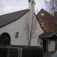
Kapelle Poll
1.2 km
Kleine Heimat Zugasse, Köln
1.2 km
Wohnbebauung Stollwerck-Gelände
1.1 km
Alte Hutfabrik
1.3 km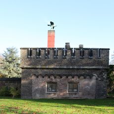
Fort I
1.2 km
Altes Hafenamt
974 m
Hochwasserpumpwerk Schönhauser Straße
1.3 kmReviews
Visited this place? Tap the stars to rate it and share your experience / photos with the community! Try now! You can cancel it anytime.
Discover hidden gems everywhere you go!
From secret cafés to breathtaking viewpoints, skip the crowded tourist spots and find places that match your style. Our app makes it easy with voice search, smart filtering, route optimization, and insider tips from travelers worldwide. Download now for the complete mobile experience.

A unique approach to discovering new places❞
— Le Figaro
All the places worth exploring❞
— France Info
A tailor-made excursion in just a few clicks❞
— 20 Minutes