
Fort XII, part of the former outer ring of forts in Cologne, Germany, on the right (Eastern) bank of the River Rhine
Location: Stammheim
Inception: 1877
Part of: Forts in Cologne
GPS coordinates: 50.99251,6.99616
Latest update: April 14, 2025 03:41

Japanischer Garten Leverkusen
2.4 km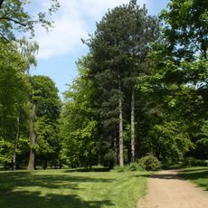
Schlosspark Stammheim
1.1 km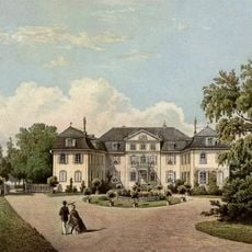
Schloss Stammheim
1.3 km
Medienfassade
2.6 km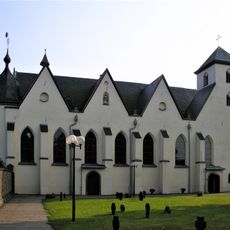
St. Nikolaus
2.6 km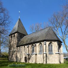
Alt St. Katharina
2.4 km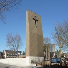
Immanuel-Kirche
759 m
Kulturbunker Köln-Mülheim
2.7 km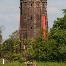
Alter Wasserturm, Köln-Stammheim
1.4 km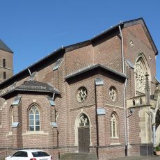
St. Mariä Geburt
996 m
Gut Schönrath
1.5 km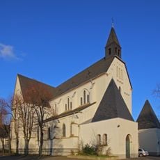
St. Antonius
2.2 km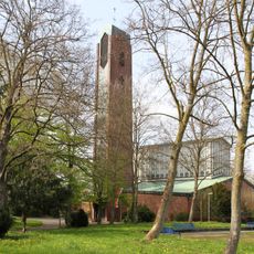
St.-Bruder-Klaus-Kirche
1.4 km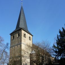
St Hubertus
1.6 km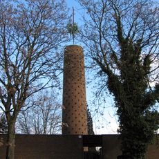
St. Pius X.
600 m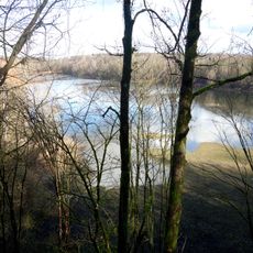
Am Grünen Kuhweg
2.1 km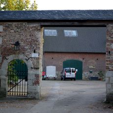
Klosterhof
2.6 km
Flittarder Rheinaue
2 km
St. Hedwig
2.1 km
Jüdischer Friedhof Köln-Mülheim
2.5 km
St. Johannes der Evangelist
769 m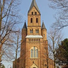
St. Katharina (Köln-Niehl)
2.4 km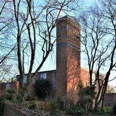
St. Christophorus (Köln-Niehl)
2.7 km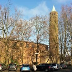
Petrikirche
2.6 km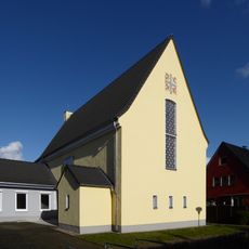
Pauluskirche
2.7 km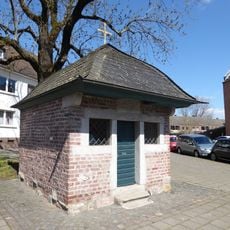
Köln-Niehl Hermesgasse bei Nr. 93 Wege- und Prozessionskapelle St. Agatha
2.5 km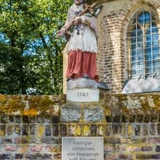
Nepomukstatue
2.4 km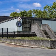
Hochwasserpumpwerk Bremerhavener Straße
2.6 kmReviews
Visited this place? Tap the stars to rate it and share your experience / photos with the community! Try now! You can cancel it anytime.
Discover hidden gems everywhere you go!
From secret cafés to breathtaking viewpoints, skip the crowded tourist spots and find places that match your style. Our app makes it easy with voice search, smart filtering, route optimization, and insider tips from travelers worldwide. Download now for the complete mobile experience.

A unique approach to discovering new places❞
— Le Figaro
All the places worth exploring❞
— France Info
A tailor-made excursion in just a few clicks❞
— 20 Minutes