Enable Location

We need your location to show you interesting places around you

Discover nearby places

Find interesting locations and hidden gems around you

Precise directions

Get accurate directions and distances to places

Your location is never shared with other users. It's only used when you tap the location button.

Mount Oeta

Log in to your account

Start exploring — it's free

Trusted by 68,316 travelers worldwide

Continue with Google
Continue with Apple
or

We will send you a code to connect

By continuing, you accept our Terms and Conditions and our Privacy Policy

Check your inbox

We've sent a pincode in your inbox. Please enter the code below.

Mount Oeta
Discussion Reviews 1 Photos
12.7k Popularity

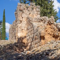
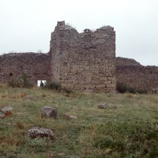
Mount Oeta, Mountain peak in Phthiotis Regional Unit, Greece

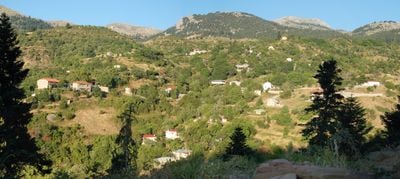
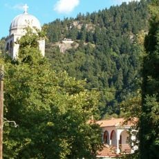
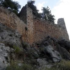
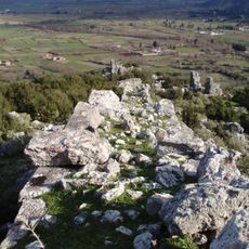
Mount Oeta is a 2,152-meter-high mountain mass in the Phthiotis region that forms a natural boundary between several river valleys. The landscape is characterized by forests and contains various archaeological sites across its terrain.

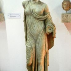
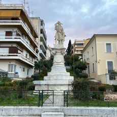
The mountain is known in ancient tradition as the place where the hero Heracles built his funeral pyre. This mythological connection has anchored the site in cultural memory since antiquity.

The mountain holds significance in ancient mythology and continues to shape the local identity of the region. Visitors can sense the connection between the landscape and the stories passed down through generations in this area.

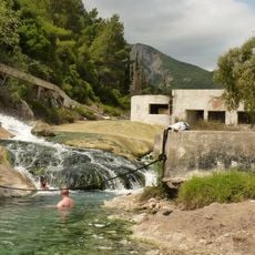
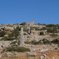
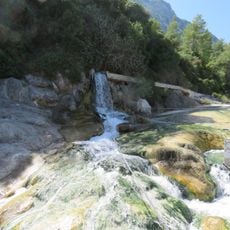
The mountain offers numerous hiking trails that pass through forests and have varying difficulty levels. Visitors should come prepared with sturdy footwear and adequate water, especially if they plan to reach higher elevations.

Two plant species, Veronica oetaea and Allium lagarophyllum, grow only on this mountain anywhere in the world. These rare species make it an important location for botanists and conservation work.

The community of curious travelers

AroundUs brings together thousands of curated places, local tips, and hidden gems, enriched daily by 60,000 contributors worldwide.

Start exploring
Location
Lamia Municipality
Elevation above the sea
2,152 m
GPS coordinates
38.81667,22.28333
Latest update
December 7, 2025 20:44
Reviews
Share your experience

No review yet

Discussions
Start a discussion...

No discussion yet

« Mount Oeta - Mountain peak in Phthiotis Regional Unit, Greece » is provided by Around Us (aroundus.com). Images and texts are derived from Wikimedia project under a Creative Commons license. You are allowed to copy, distribute, and modify copies of this page, under the conditions set by the license, as long as this note is clearly visible.

Discover hidden gems everywhere you go!

From secret cafés to breathtaking viewpoints, skip the crowded tourist spots and find places that match your style. Our app makes it easy with voice search, smart filtering, route optimization, and insider tips from travelers worldwide. Download now for the complete mobile experience.

Around Us App Screenshot

A unique approach to discovering new places

Le Figaro

All the places worth exploring

France Info

A tailor-made excursion in just a few clicks

20 Minutes

Around Us
Travel Guide & Maps
Download

Send to your phone

QR Code
1

Open the camera app on your mobile.

2

Point at the QR code with your camera. A notification will appear.

3

Tap the notification to open the link.