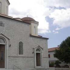
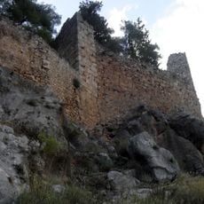
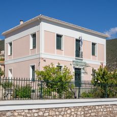
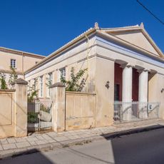
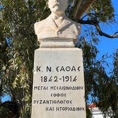
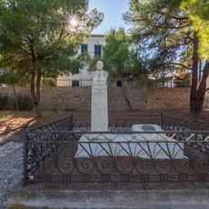
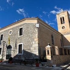
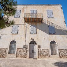
Central Greece, Geographic region in mainland Greece
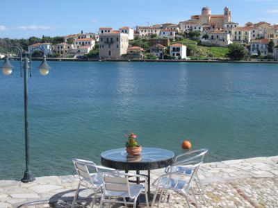
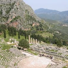
Central Greece covers the southern stretch of the Greek mainland, taking in mountain ranges, valleys, and the island of Euboea along its eastern shore. The terrain shifts between forested heights and agricultural lowlands crossed by several rivers that flow toward the Euboean Gulf.
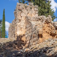
During Ottoman rule this territory was known as Roumeli, a name derived from the Turkish Rum-eli for the European lands of the empire. After Greek independence the area was reorganized and received its current administrative designation in 1987.
The inhabitants of Central Greece maintain strong connections to their geographic identity, using traditional regional names despite administrative changes implemented in 1987.
The valleys of the Kifisós in Boeotia and the Sperkhiós near Lamía support farming and can be reached by regional roads. Visitors exploring the area will find access from both the mainland and Euboea, with many towns linked by regional bus services.
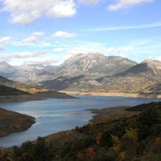
The Mornos River system supplies Athens with water through an aqueduct built in the 1970s, supplementing the supply from the Lake of Marathon. The connection runs more than 150 kilometers (about 95 miles) and crosses beneath several mountain ranges on its way to the capital.
The community of curious travelers
AroundUs brings together thousands of curated places, local tips, and hidden gems, enriched daily by 60,000 contributors worldwide.