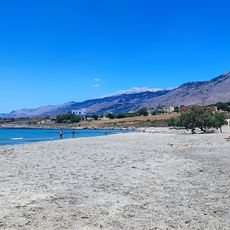
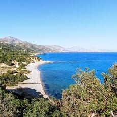
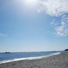
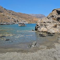
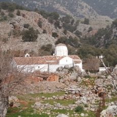
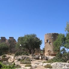
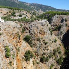
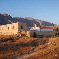
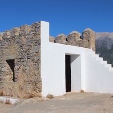
Prasonisi, Rocky peninsula in southern Rhodes, Greece.
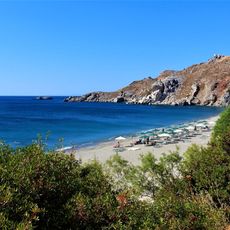
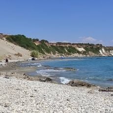
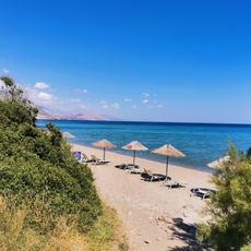
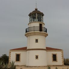
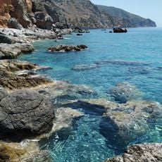
Prasonisi is a rocky cape about 3 km² in area at the southern tip of Rhodes, roughly 2 km long and 1.5 km wide, joined to the island by a sandy isthmus. Low shrub vegetation covers the gently shaped land, with surf zones and a few small sandy coves on the sheltered side. A road from Kattavia runs down to the isthmus and on to an old lighthouse at the southern point.
Prasonisi is a rocky peninsula at Rhodes' southern tip, joined to the island by a sand isthmus. On 9 July 1956 a tsunami triggered by a seaquake near Amorgos struck it; local papers reported a 9 m wave that briefly cut it off, but a 2007 study based on eyewitness accounts and surveys put the height at 2.10 m. Tourist development began in the late 1980s.
Prasonisi means "green island" in Greek, a name that fits the low scrub covering the rocky cape. Since the late 1980s the tombolo has hosted a seasonal settlement of tavernas, small supermarkets, rooms and windsurf rental stations, and the name Prasonisi is used for this settlement as well as for the cape and isthmus.
Prasonisi lies at the southern tip of Rhodes, about 92 km from Rhodes town and 40 km from Lindos; a road runs down from Kattavia, the island's southernmost village, roughly 11 km to the cape and its old lighthouse. The sandy isthmus linking it to Rhodes is flooded by storm waves, and when a channel breaks through, a strong current forms there; several drownings have occurred, so crossing calls for caution.
The sandy isthmus linking Prasonisi to Rhodes is not permanent: storms can cut a channel through it, turning the cape back into an island, and a strong current forms in that channel. Several drownings have occurred there, so crossing it calls for caution.
The community of curious travelers
AroundUs brings together thousands of curated places, local tips, and hidden gems, enriched daily by 93,782 contributors worldwide.