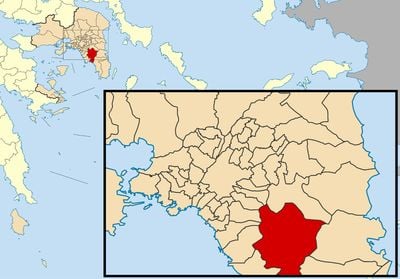
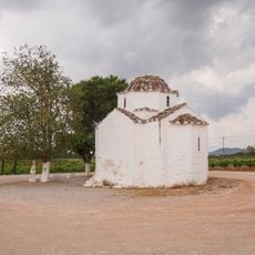
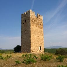
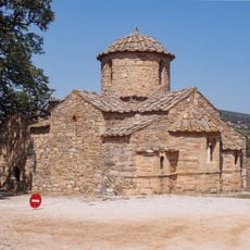
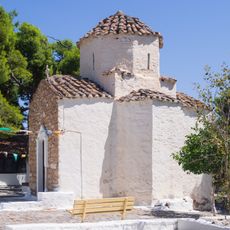
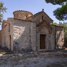
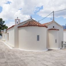
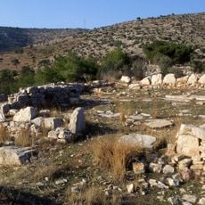
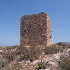
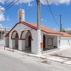
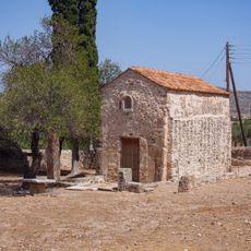
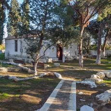
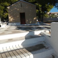
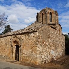
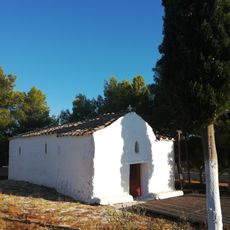
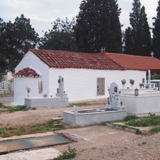
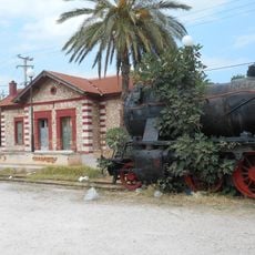
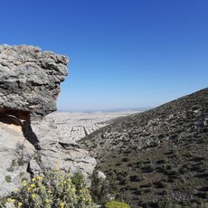
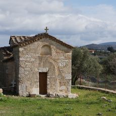
Municipality of Kropia, municipality in Greece
Location: Regional Unit of East Attica
GPS coordinates: 37.87475,23.85590
Latest update: March 4, 2025 16:46
Vari Cave
5.1 km
Koutouki Cave
8.3 km
Vorres Museum
8.8 km
Sykia, Voula
5.5 km
Church of Panayia Varaba
7.7 km
Tower of Vravrona
9.9 km
Church of Agios Petros
6.3 km
Church of Agios Dimitrios Saronikou
7.6 km
Church of Metamorphosis
3.5 km
Church of Agios Vasileios and Ypapantis - Koropi
2.7 km
Vari ancient house
5.1 km
1st Primary School of Koropi
3.2 km
Tower of Liada
7.2 km
Church of Agioi Spyridon and Konstantinos Kropias
2.9 km
Markopoulo Windmill
7.5 km
Church of Panagias Merenta
9.6 km
Church of Agios Athanasios Paianias
8.5 km
Church of Agios Panteleimon - Koropi
3.3 km
Panagia Mesosporitissa
6.2 km
Church of Agios Georgios - Koropi
3.7 km
Church of Agioi Pantes, Vari
6.7 km
Statue of Giannis Ntavaris, Paiania
8.8 km
Church of Agioi Anargyroi Skouperi - Koropi
4.6 km
Profitis Ilias Ymittou - Koropi
5.9 km
Church of Taxiarchon Ntagla
7 km
Markopoulo railway station
6.3 km
Ymittos - Aisthitiko Dasos Kaisarianis - Limni Vouliagmenis
5.3 km
Church of Agios Loukas Lambrikon
413 mReviews
Visited this place? Tap the stars to rate it and share your experience / photos with the community! Try now! You can cancel it anytime.
Discover hidden gems everywhere you go!
From secret cafés to breathtaking viewpoints, skip the crowded tourist spots and find places that match your style. Our app makes it easy with voice search, smart filtering, route optimization, and insider tips from travelers worldwide. Download now for the complete mobile experience.
A unique approach to discovering new places❞
— Le Figaro
All the places worth exploring❞
— France Info
A tailor-made excursion in just a few clicks❞
— 20 Minutes