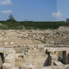
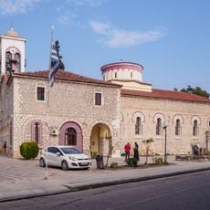
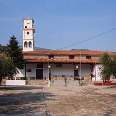
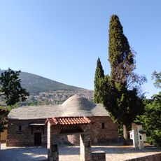
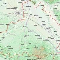
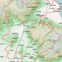
Larissa Regional Unit, Regional administrative division in Thessaly, Greece
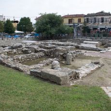
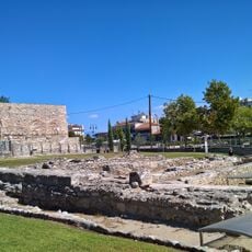
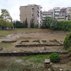
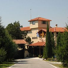
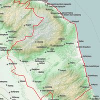
Larissa Regional Unit is an administrative division covering central Greece with seven municipalities spread across varied terrain and towns. The area spans from lowlands with farming to higher elevations where the landscape changes toward Mount Olympus in the northeast.
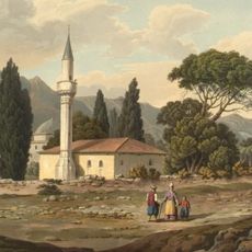
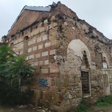
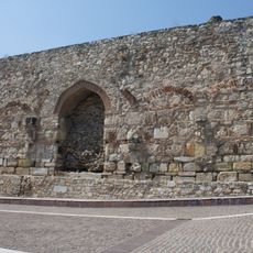
This territory came under Greek control in 1878 following international treaties and was formally incorporated into the Greek Kingdom in 1881. The transition from Ottoman rule to Greek administration shaped how the region developed and organized itself.
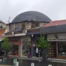
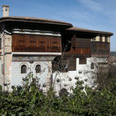
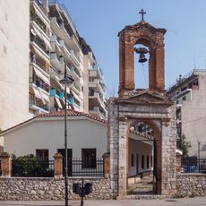
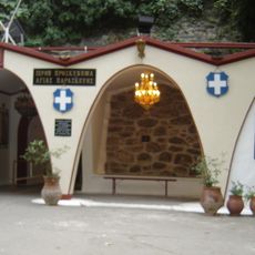
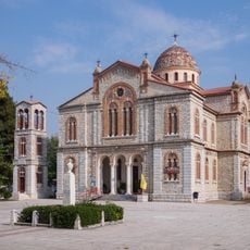
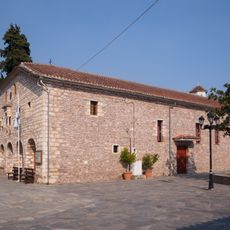
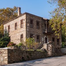
The towns here keep alive traditions through farming celebrations and food specialties tied to what grows locally and what farmers raise. These customs connect residents to the land and their heritage in a direct, everyday way.
The region connects easily to Athens and Thessaloniki by highways and train lines, making travel across central Greece straightforward. You can move around by car or train and reach different towns without difficulty.
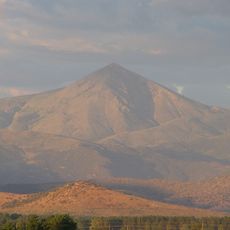
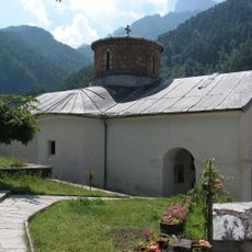
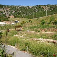
This region contains Mount Olympus, whose highest peak rises above 2,900 meters and ranks as Greece's tallest mountain. The peak has drawn climbers and visitors for generations, combining natural landscape with mythological significance.
The community of curious travelers
AroundUs brings together thousands of curated places, local tips, and hidden gems, enriched daily by 60,000 contributors worldwide.