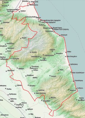
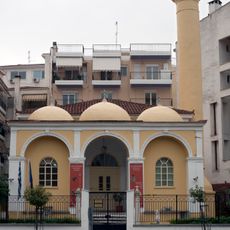
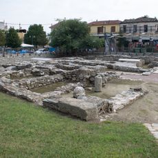
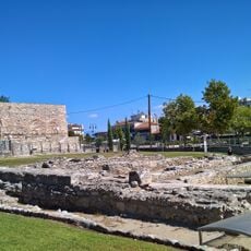
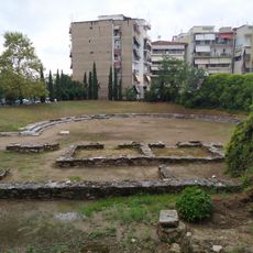
Agia Municipality, municipality in Thessaly, Greece
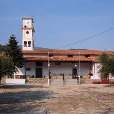
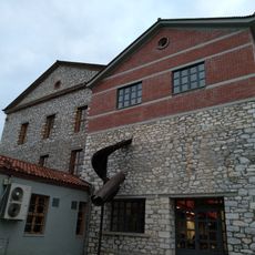
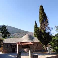
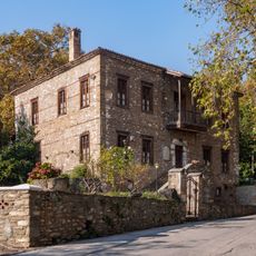
Agia Municipality is an administrative division within the Larissa Regional Unit in Thessaly, Greece. It groups together several villages and smaller communities set among hills and farmland in a rural part of the country.
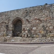
Agia became part of the Greek state in 1881, after the area had spent decades under Ottoman rule. In 2011, the municipality was merged with three neighboring areas as part of a national reform of local government.
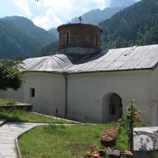
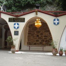
Agia is known for its local festivals where music, food, and dancing bring the community together. These events follow traditions passed down through generations and remain active today.
The area is best explored by car, as public transport connections in this rural part of the region are limited. It is worth stopping in the city of Larissa for supplies before heading out, since local services are basic.
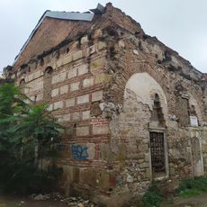
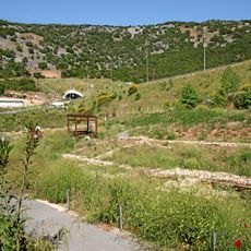
In 2007, severe forest fires swept through large sections of woodland around Agia, forcing many residents to leave their homes temporarily. The burned slopes are still partly visible today and serve as a reminder of how that summer reshaped the local landscape.
The community of curious travelers
AroundUs brings together thousands of curated places, local tips, and hidden gems, enriched daily by 60,000 contributors worldwide.