
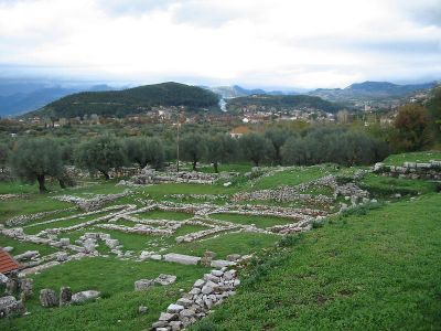
Municipality of Thermos, municipality in West Greece region, Greece
Location: Aetolia-Acarnania Regional Unit
GPS coordinates: 38.58313,21.65724
Latest update: March 14, 2025 22:05
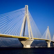
Rio-Antirrio bridge
30.8 km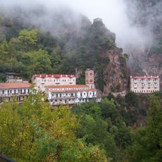
Monastery Prousou
18.5 km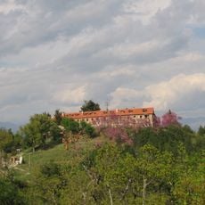
Monastery of Panagia Varnakovas
29.4 km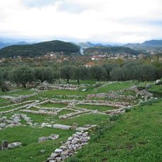
Thermos
2.8 km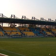
Panetolikos Stadium
22 km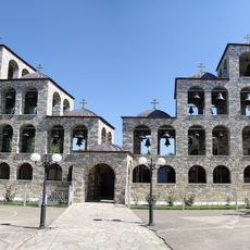
Monastery of Saint Augustine and Seraphim of Sarof
26.6 km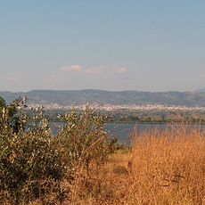
Lake Lysimachia
25.6 km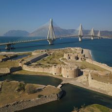
Rio Castle
32.1 km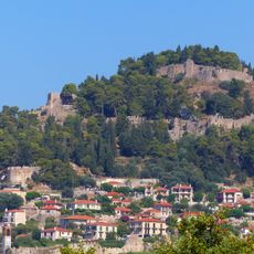
Nafpaktos Castle
25.4 km
Fethiye Mosque
26 km
Παπαστράτειο δημοτικό πάρκο
22.3 km
Church of Panagia of Panaxiotissa at Gavrolimni
20.8 km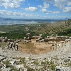
Ancient Greek theatre of Pleuron
28.7 km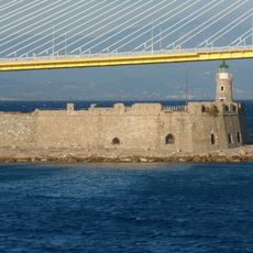
Antirrio Fortress
29.9 km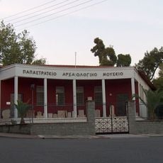
Archaeological Museum of Agrinio
22.2 km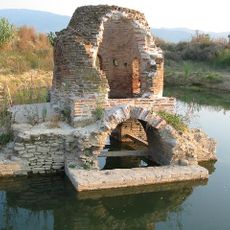
Agia Triada of Mavrika
22.5 km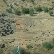
Ancient theater of Calydon
26 km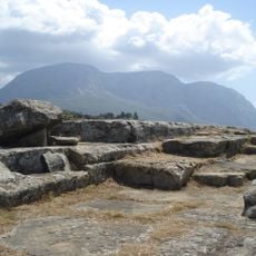
Calydon Fortress
25.3 km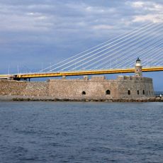
Lighthouse of Antirrio
30 km
Tower of Paravola
11.9 km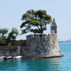
Lighthouse of Nafpaktos
26 km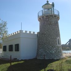
Lighthouse of Drepano
31.9 km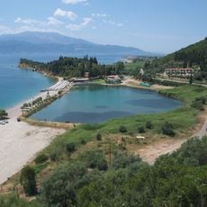
Chiliadou
31.2 km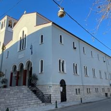
Metropolitan cathedral of Saint Demetrius, Nafpaktos
25.9 km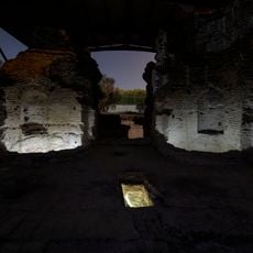
Agios Thomas Roman baths
28.2 km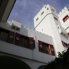
Botsaris Tower
25.8 km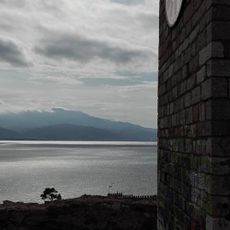
Clock - Bell tower in Nafpaktos
25.8 km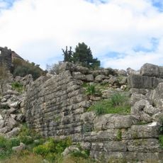
Voukatio
11.9 kmReviews
Visited this place? Tap the stars to rate it and share your experience / photos with the community! Try now! You can cancel it anytime.
Discover hidden gems everywhere you go!
From secret cafés to breathtaking viewpoints, skip the crowded tourist spots and find places that match your style. Our app makes it easy with voice search, smart filtering, route optimization, and insider tips from travelers worldwide. Download now for the complete mobile experience.

A unique approach to discovering new places❞
— Le Figaro
All the places worth exploring❞
— France Info
A tailor-made excursion in just a few clicks❞
— 20 Minutes