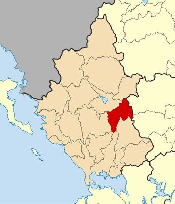
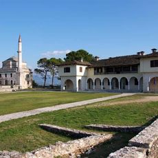
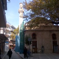
North Tzoumerka Municipality, Mountain municipality in Ioannina region, Greece.
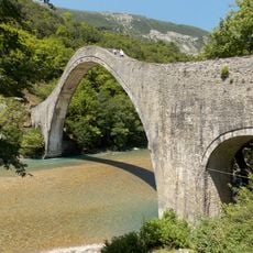
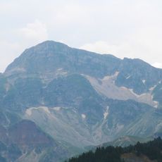
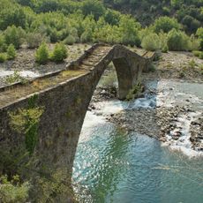
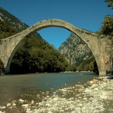
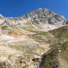
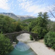
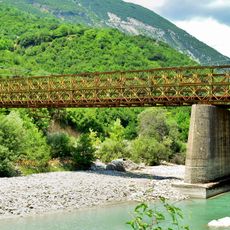
North Tzoumerka is a municipality in the mountainous Ioannina Regional Unit of northwestern Greece, made up of seven village communities spread across valleys and forested slopes. The main settlements include Kalarites, Sirako, Pramanta, and Matsouki, all linked by a network of marked paths through the Tzoumerka mountains.
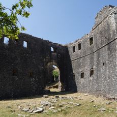
During the occupation of Greece from 1941 to 1944, the Tzoumerka mountains served as a base for the EDES resistance organization, which operated from the remote villages and forests of the area. After the war, many residents left for larger cities, which explains the small populations found in the villages today.
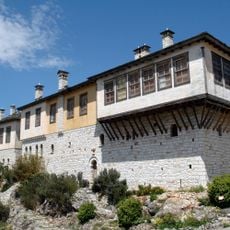
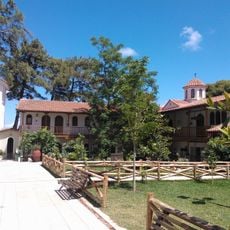
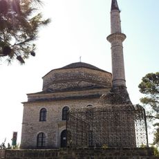
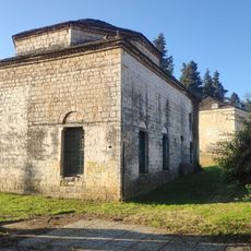
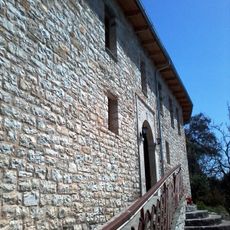
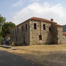
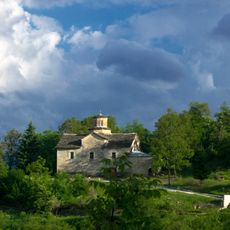
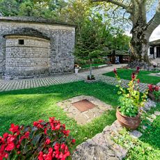
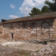
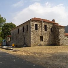
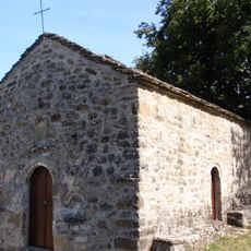
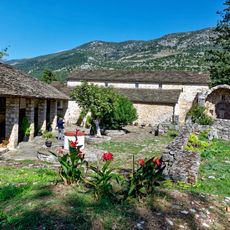
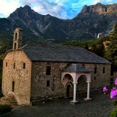
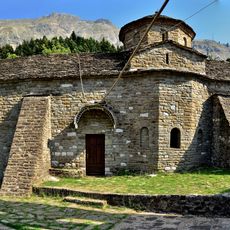
Villages like Sirako and Kalarites are known for their stone houses built in the old Epirus style, with wooden balconies and slate roofs. In summer, local festivals bring people together in the village squares, where traditional music and food from the region can be experienced.
A car is the most reliable way to move between the villages, as roads can be narrow and winding through the mountains. Hikers should carry enough water and food before heading out, since shops and cafes are scarce in the smaller communities.
Sirako and Kalarites, two of the villages in the municipality, were once home to wealthy merchants and craftsmen who traded across Europe, and their houses are noticeably larger than those in most other Greek mountain villages. The poet Georgios Zalokostas was born in Sirako, and a small monument in the village marks his birthplace.
The community of curious travelers
AroundUs brings together thousands of curated places, local tips, and hidden gems, enriched daily by 60,000 contributors worldwide.