
Municipality of Elafonisos, Municipality of Greece
Location: Laconia Regional Unit
GPS coordinates: 36.48360,22.95898
Latest update: March 2, 2025 20:16
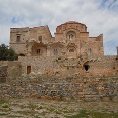
Church of Agia Sofia
24.5 km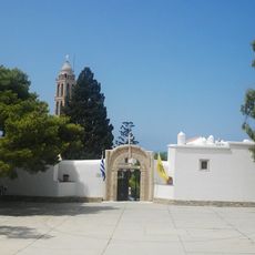
Moni Myrtidion
31.8 km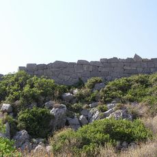
Zarax
35.7 km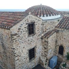
Monemvasia Mosque
24.2 km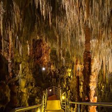
Kastania Cave
16.4 km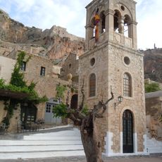
Church of Elkomenos Christos (Monemvasia)
24.3 km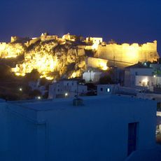
Castle of Kythira
37.6 km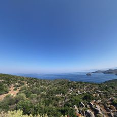
Gerakas port
35.5 km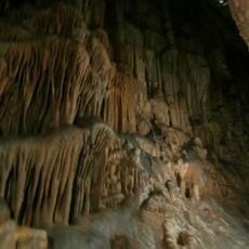
Agia Sofia Cave
26.1 km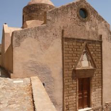
Church of Agios Nikolaos
24 km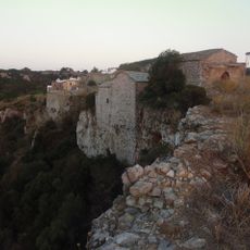
Mylopotamos Castle
26.6 km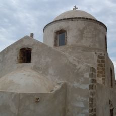
Naos Panagias Myrtidiotissas
24.3 km
Cape Maleas Lighthouse
22 km
Church of Agios Antonios (Monemvasia)
24.2 km
Panaghia Chrisaffitisa
24.4 km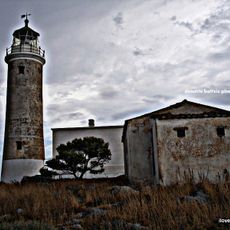
Moudari Lighthouse
11.4 km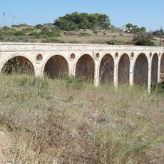
Katouni bridge, Kythira
33.3 km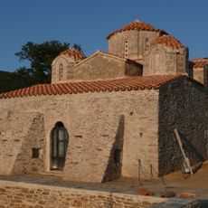
Church of Pantanassa, Pantanassa
13.2 km
Avlemon Fort
30.8 km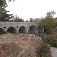
Potamos community bridge
20.5 km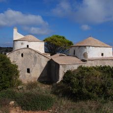
Agios Dimitrios in Pourko
34.7 km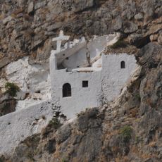
Agios Ioannis in Krimno
37.5 km
Chalasmata 6th c. basilica
37 km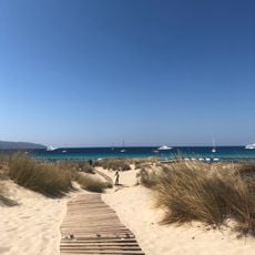
Simos beach
1.7 km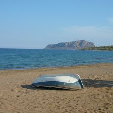
Pori beach
27 km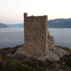
Tower of Palia Monemvasia
28.7 km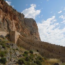
East Wall of Lower town of Monemvasia
24.4 km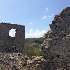
Palaiochora Castle
20.9 kmReviews
Visited this place? Tap the stars to rate it and share your experience / photos with the community! Try now! You can cancel it anytime.
Discover hidden gems everywhere you go!
From secret cafés to breathtaking viewpoints, skip the crowded tourist spots and find places that match your style. Our app makes it easy with voice search, smart filtering, route optimization, and insider tips from travelers worldwide. Download now for the complete mobile experience.

A unique approach to discovering new places❞
— Le Figaro
All the places worth exploring❞
— France Info
A tailor-made excursion in just a few clicks❞
— 20 Minutes