Sélestat

Log in to your account

AroundUs is a community-driven map of interesting places, built by curious explorers like you. It grows with every review, story, and photo you share.
Connect to save your favorite spots, contribute locations, and create personalized routes.
Continue with Google
Continue with Apple
Continue with X
Continue with Facebook
Continue with email
By continuing, you accept our Terms and Conditions and our Privacy Policy
Create an account
Add to collection
Map
Suggest a change
Share

Sélestat, Medieval commune in Alsace, France

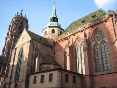
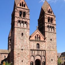
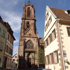
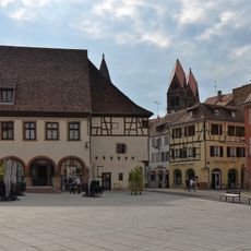
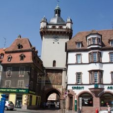
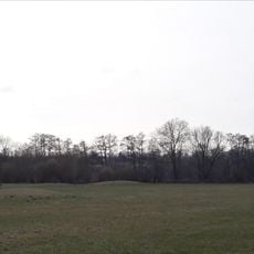
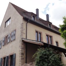
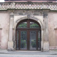
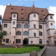
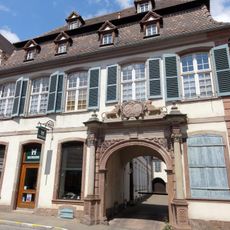
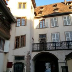
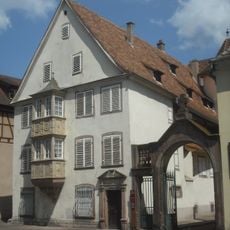
Sélestat sits along the Ill River, 42 kilometers from Strasbourg and 17 kilometers from the German border at an elevation of 173 meters (568 feet). The town counts around 35 protected monuments, including St. Faith's Church and St. George's Church, which display different building styles from several centuries.

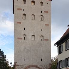
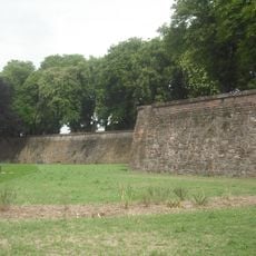
The settlement gained status as a free imperial city in the 13th century, which gave it the right to collect its own taxes and build defensive walls. In the 17th century it passed to France and lost its independence, while the town walls were later partly torn down.

The Humanist Library holds manuscripts and printed books from the Middle Ages and Renaissance and joined the UNESCO Memory of the World Register in 2011. Visitors can view the collection, which shows the intellectual life of a town that once attracted scholars from across Europe as a center of learning and humanist thought.

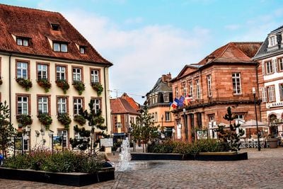
Markets run every Tuesday and Saturday in the town center and offer regional products, fresh fruit and vegetables, and Alsatian specialties. The old town is easy to explore on foot since most sights stand close together and the paths are level.

The town celebrates a large Christmas festival every December, with a giant fir tree set up on the main square and vendors selling local crafts. The tradition stretches back over 600 years and counts as one of the oldest Christmas celebrations in Alsace.

Location: Bas-Rhin

Location: arrondissement of Sélestat-Erstein

Inception: 13 century

Elevation above the sea: 172 m

Shares border with: Ebersheim, Baldenheim, Châtenois, Ebersmunster, Heidolsheim, Kintzheim, Mussig, Muttersholtz, Ohnenheim, Orschwiller, Scherwiller, Guémar, Saint-Hippolyte

Address: 67600 Sélestat, France

Phone: +33388588500

Email: mairie@ville-selestat.fr

Website: https://selestat.fr

GPS coordinates: 48.25944,7.45417

Latest update: December 13, 2025 18:29

Photos
Reviews

Visited this place? Tap the stars to rate it and share your experience / photos with the community! Try now! You can cancel it anytime.

« Sélestat - Medieval commune in Alsace, France » is provided by Around Us (aroundus.com). Images and texts are derived from Wikimedia project under a Creative Commons license. You are allowed to copy, distribute, and modify copies of this page, under the conditions set by the license, as long as this note is clearly visible.

Discover hidden gems everywhere you go!

From secret cafés to breathtaking viewpoints, skip the crowded tourist spots and find places that match your style. Our app makes it easy with voice search, smart filtering, route optimization, and insider tips from travelers worldwide. Download now for the complete mobile experience.

Around Us App Screenshot

A unique approach to discovering new places

Le Figaro

All the places worth exploring

France Info

A tailor-made excursion in just a few clicks

20 Minutes