Enable Location

We need your location to show you interesting places around you

Discover nearby places

Find interesting locations and hidden gems around you

Precise directions

Get accurate directions and distances to places

Your location is never shared with other users. It's only used when you tap the location button.

Grandfontaine

Log in to your account

Start exploring — it's free

Trusted by 62,495 travelers worldwide

Continue with Google
Continue with Apple
or

We will send you a code to connect

By continuing, you accept our Terms and Conditions and our Privacy Policy

Check your inbox

We've sent a pincode in your inbox. Please enter the code below.

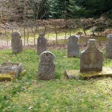
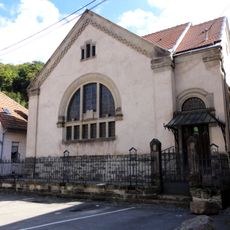
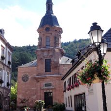
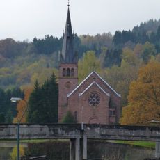
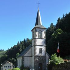
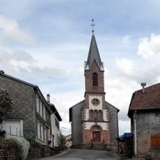
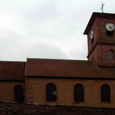
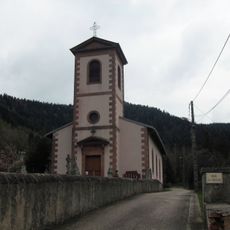
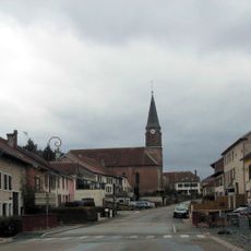
Grandfontaine, Mountain commune in Bas-Rhin, France.

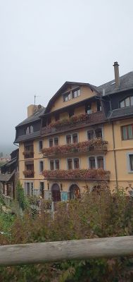
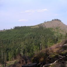
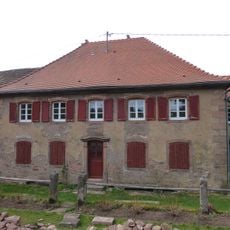
Grandfontaine is a commune nestled in forested slopes near the Donon mountain in northeastern France, sitting between 390 and 1,008 meters (1,280 and 3,307 feet) in elevation. The village spreads across several altitude zones and is defined by dense woodland, with numerous streams and springs flowing through the terrain.

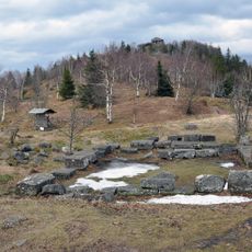
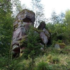
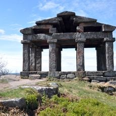
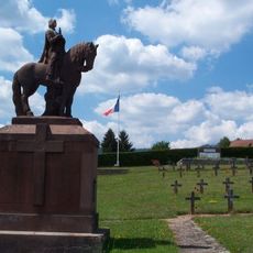
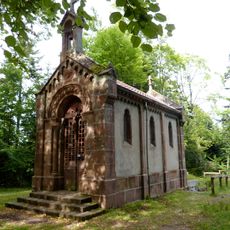
Iron extraction in Grandfontaine traces back to ancient times and was established by the Middle Ages, but reached its greatest expansion between the sixteenth and nineteenth centuries. Mining activity shaped the region's economic development and left lasting marks on the landscape and local infrastructure.

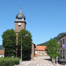
The settlement bears two names: Grandfontaine in French and Grosbrun in Alsatian, both referring to the abundant water springs found throughout the area. These dual names reflect the deep connection between water and the landscape that continues to shape village life today.

The commune is easily accessible via route D392 and connects to regional rail service through the TER line linking Strasbourg to Epinal. Visitors should wear sturdy footwear as the hilly terrain and wooded surroundings require appropriate preparation for walking.

Les Minières, a restored nineteenth-century iron ore mine within the commune, now functions as a museum displaying historical mining equipment and mineral collections. Visitors can explore the underground passages and gain insight into the harsh work that once drove the local economy.

The community of curious travelers

AroundUs brings together thousands of curated places, local tips, and hidden gems, enriched daily by 60,000 contributors worldwide.

Start exploring
Location
Location
arrondissement of Molsheim
Industry
administration publique générale
Shares border with
Luvigny, Moussey, Raon-sur-Plaine, Le Saulcy, Vexaincourt, Bionville, Raon-lès-Leau, Saint-Sauveur, Val-et-Châtillon, Turquestein-Blancrupt, La Broque, Selestat, Wisches
Address
67130 Grandfontaine, France
Phone
GPS coordinates
48.49250,7.16083
Latest update
December 10, 2025 20:08
« Grandfontaine - Mountain commune in Bas-Rhin, France » is provided by Around Us (aroundus.com). Images and texts are derived from Wikimedia project under a Creative Commons license. You are allowed to copy, distribute, and modify copies of this page, under the conditions set by the license, as long as this note is clearly visible.

Discover hidden gems everywhere you go!

From secret cafés to breathtaking viewpoints, skip the crowded tourist spots and find places that match your style. Our app makes it easy with voice search, smart filtering, route optimization, and insider tips from travelers worldwide. Download now for the complete mobile experience.

Around Us App Screenshot

A unique approach to discovering new places

Le Figaro

All the places worth exploring

France Info

A tailor-made excursion in just a few clicks

20 Minutes

Around Us
Travel Guide & Maps
Download

Send to your phone

QR Code
1

Open the camera app on your mobile.

2

Point at the QR code with your camera. A notification will appear.

3

Tap the notification to open the link.