
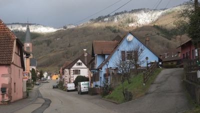
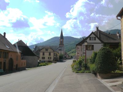
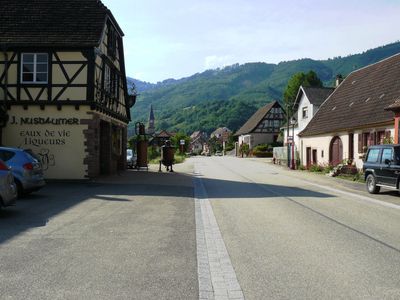
Steige, commune in Bas-Rhin, France
Location: Bas-Rhin
Location: arrondissement of Sélestat-Erstein
Elevation above the sea: 524 m
Shares border with: Bellefosse, Breitenbach, Lalaye, Maisonsgoutte, Ranrupt, Urbeis
Phone: +33388571754
Email: mairie.steige@gmail.com
Website: https://steige.fr
GPS coordinates: 48.36083,7.23861
Latest update: May 28, 2025 16:16

Champ du Feu
4.4 km
Climont
4.5 km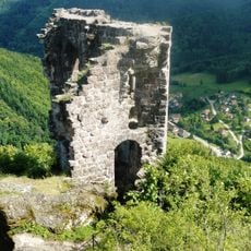
Château de Bilstein
3.6 km
Musée Jean-Frédéric Oberlin
6.3 km
Château de la Roche
4.2 km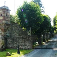
Honcourt Abbey
3.5 km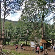
Parc Aventure d'Alsace
5.1 km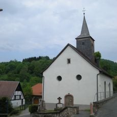
Temple de Waldersbach
6.2 km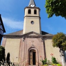
Église Notre-Dame-de-l'Assomption de Villé
5.1 km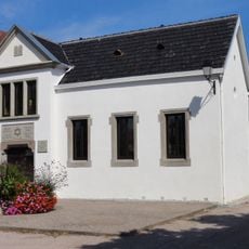
Synagogue of Villé
5.4 km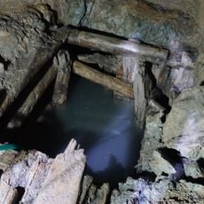
Mine Haus Österreich
3.7 km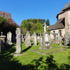
Cimetière de l'Église Notre-Dame-de-l'Assomption
5.1 km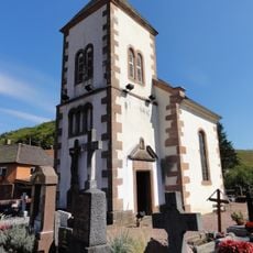
Chapelle du cimetière de Steige
443 m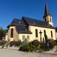
Église Saint-Nicolas de Colroy-la-Roche
5.2 km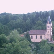
Église Saint-André de Blancherupt
6.1 km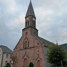
Église Sainte-Madeleine de Steige
63 m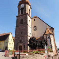
Église Saint-Antoine de Maisonsgoutte
2.1 km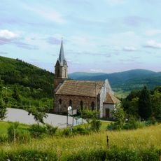
Temple du Climont
4.6 km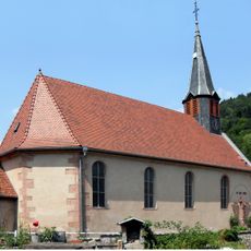
Église Saint-Quirin de Bassemberg
4.4 km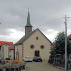
Église de Belmont
5.4 km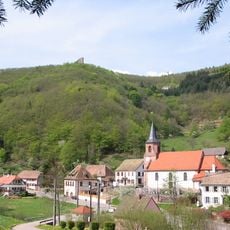
Église Saint-Nicolas d'Urbeis
4 km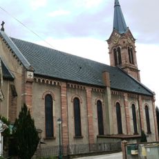
Église Saint-Gall de Breitenbach
4 km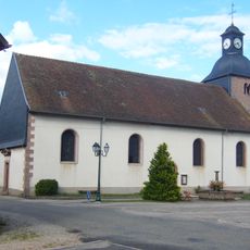
Église Saint Jean-Baptiste
4.4 km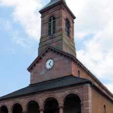
Église Saint-Vincent de Ranrupt
3.3 km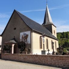
Église Saint-Martin de Saint-Martin
4.1 km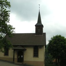
Église luthérienne de Bellefosse
5 km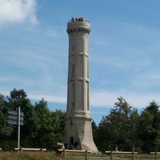
Tour du champ du Feu de Bellefosse
4.4 km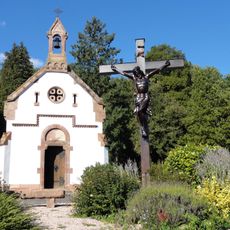
Chapelle du cimetière de Villé
4.7 kmVisited this place? Tap the stars to rate it and share your experience / photos with the community! Try now! You can cancel it anytime.
Discover hidden gems everywhere you go!
From secret cafés to breathtaking viewpoints, skip the crowded tourist spots and find places that match your style. Our app makes it easy with voice search, smart filtering, route optimization, and insider tips from travelers worldwide. Download now for the complete mobile experience.

A unique approach to discovering new places❞
— Le Figaro
All the places worth exploring❞
— France Info
A tailor-made excursion in just a few clicks❞
— 20 Minutes