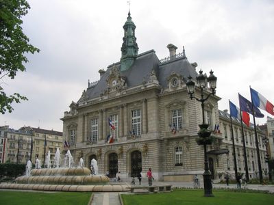
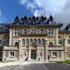
Levallois-Perret, Administrative commune in Hauts-de-Seine, France
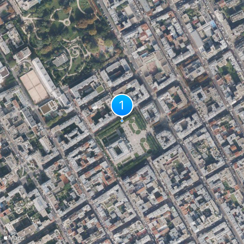
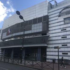
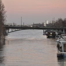
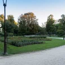
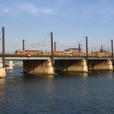
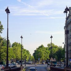
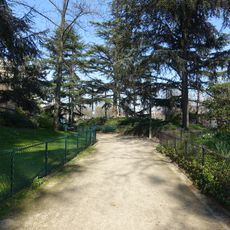
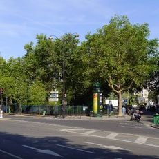
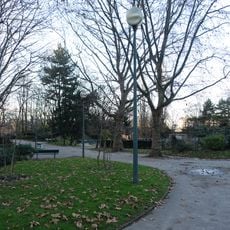
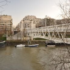
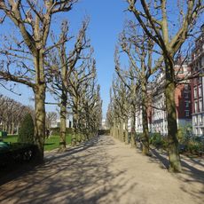
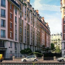
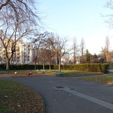
Levallois-Perret is a commune on the right bank of the Seine in the Hauts-de-Seine department, immediately northwest of Paris. The densely built urban area covers less than three square kilometers and borders the river to the east, with residential and business districts occupying most of the space.
The commune was established in 1867 by merging two housing estates: Village Levallois founded by Nicolas-Eugène Levallois and Champerret initiated by Jean-Jacques Perret. Industrial facilities shaped the area well into the twentieth century, including workshops run by Gustave Eiffel that produced metalwork for major construction projects.
The name combines the surnames of two landowners who developed separate housing estates during the mid-1800s. Today residents live in a densely built suburb that mixes residential towers with office buildings, serving as a bedroom community for professionals working nearby.
Three stations on Paris Metro Line 3 connect the area to the wider metropolitan region and provide access to different neighborhoods. Free local bus routes operate within the boundaries and offer an additional way to move around.
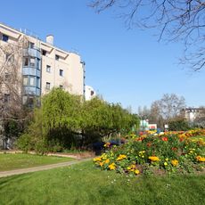
The northern half of Île de la Jatte in the Seine served as a painting subject for Impressionist artists during the late 1800s, who captured riverside leisure and light. This narrow island lies directly beside the eastern edge of the area and remains a quiet spot amid the urban surroundings.
The community of curious travelers
AroundUs brings together thousands of curated places, local tips, and hidden gems, enriched daily by 60,000 contributors worldwide.