Enable Location

We need your location to show you interesting places around you

Discover nearby places

Find interesting locations and hidden gems around you

Precise directions

Get accurate directions and distances to places

Your location is never shared with other users. It's only used when you tap the location button.

Celtic Sea

Log in to your account

Start exploring — it's free

Trusted by 67,486 travelers worldwide

Continue with Google
Continue with Apple
or

We will send you a code to connect

By continuing, you accept our Terms and Conditions and our Privacy Policy

Check your inbox

We've sent a pincode in your inbox. Please enter the code below.

Celtic Sea
Discussion Reviews 3 Photos
94.2k Popularity

Celtic Sea, North Atlantic Ocean section between Ireland and Great Britain.

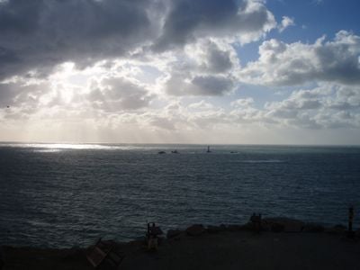
The Celtic Sea is a region of the North Atlantic Ocean situated between the southern coast of Ireland, Cornwall, and Brittany. These waters connect the Irish Sea with the open Atlantic, bounded to the east by the approaches to the English Channel and Bristol Channel.

The name was proposed in 1921 by marine biologist E. W. L. Holt during a meeting of fisheries experts in Dublin. Before that time, maps and specialists had no shared designation for these waters between the British Isles and France.

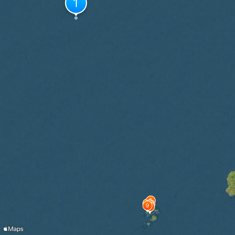
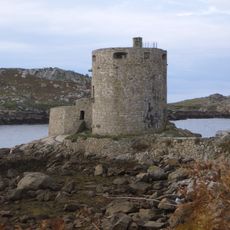
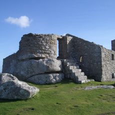
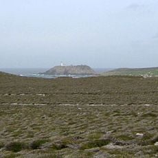
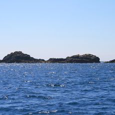
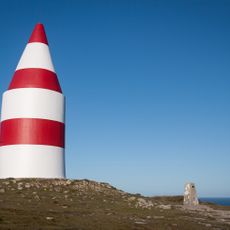
The waters contain the Isles of Scilly archipelago, featuring five inhabited islands and 140 rocky formations off the Cornwall coast.

The waters lie far from sheltered bays and are often exposed to Atlantic weather patterns. Visits to coastal areas allow observation of the sea's expanse and changing conditions with tides and wind.

The seabed slopes gradually southward, forming irregular structures as it descends. These depth changes influence currents and the way water moves and interacts with the coastlines.

The community of curious travelers

AroundUs brings together thousands of curated places, local tips, and hidden gems, enriched daily by 60,000 contributors worldwide.

Start exploring
Part of
North Atlantic Ocean
GPS coordinates
50.95270,-6.93047
Latest update
December 12, 2025 23:50
Around this place
Tresco Abbey Gardens
United Kingdom

Tresco Abbey Gardens

119.8 km
Cromwell's Castle
United Kingdom

Cromwell's Castle

117.7 km
King Charles's Castle
United Kingdom

King Charles's Castle

117.6 km
Round Island Lighthouse
United Kingdom

Round Island Lighthouse

116.6 km
Grimsby Old Blockhouse
United Kingdom

Grimsby Old Blockhouse

118.6 km
St Nicholas's Church, Tresco
United Kingdom

St Nicholas's Church, Tresco

118.5 km
Tresco Priory
United Kingdom

Tresco Priory

119.7 km
All Saints' Church, Bryher
United Kingdom

All Saints' Church, Bryher

118.7 km
Castle Down
United Kingdom

Castle Down

117.7 km
St Martin's Church, St Martin's
United Kingdom

St Martin's Church, St Martin's

119.5 km
Oliver's Battery
United Kingdom

Oliver's Battery

120.4 km
Methodist Church
United Kingdom

Methodist Church

119.6 km
Chapel Down
United Kingdom

Chapel Down

119.8 km
Seal Rock
United Kingdom

Seal Rock

118.8 km
Valhalla Museum
United Kingdom

Valhalla Museum

119.8 km
Dolphin Cottage
United Kingdom

Dolphin Cottage

118.5 km
The Smith Monument On Abbey Hill
United Kingdom

The Smith Monument On Abbey Hill

119.5 km
Mid-16th century blockhouse and ramparts with adjacent walling and occupation deposits at Block House Point
United Kingdom

Mid-16th century blockhouse and ramparts with adjacent walling and occupation deposits at Block House Point

118.6 km
The Day Mark
United Kingdom

The Day Mark

119.5 km
Isles of Scilly Sites - Hanjague to Deep Ledge Marine Conservation Zone
United Kingdom

Isles of Scilly Sites - Hanjague to Deep Ledge Marine Conservation Zone

119.7 km
Post-medieval smugglers' cache at Tresco Abbey, Tresco
United Kingdom

Post-medieval smugglers' cache at Tresco Abbey, Tresco

119.7 km
Tresco Abbey
United Kingdom

Tresco Abbey

119.7 km
Ashvale Farmhouse
United Kingdom

Ashvale Farmhouse

118.6 km
Prehistoric field systems, settlement and cairns, with post-medieval boundary and shelter on Northwethel
United Kingdom

Prehistoric field systems, settlement and cairns, with post-medieval boundary and shelter on Northwethel

117.8 km
Prehistoric entrance grave, the northern one of three on Cruther's Hill, St Martin's
United Kingdom

Prehistoric entrance grave, the northern one of three on Cruther's Hill, St Martin's

119.8 km
Post-medieval kelp pit on the western coast of Tinkler's Hill, St Martin's
United Kingdom

Post-medieval kelp pit on the western coast of Tinkler's Hill, St Martin's

118.2 km
Burnt HIll, St Martin's
United Kingdom

Burnt HIll, St Martin's

119.3 km
Prehistoric linear boundary on Puffin Island
United Kingdom

Prehistoric linear boundary on Puffin Island

120.1 km
Show the full map
Reviews
Share your experience

No review yet

Discussions
Start a discussion...

No discussion yet

« Celtic Sea - North Atlantic Ocean section between Ireland and Great Britain » is provided by Around Us (aroundus.com). Images and texts are derived from Wikimedia project under a Creative Commons license. You are allowed to copy, distribute, and modify copies of this page, under the conditions set by the license, as long as this note is clearly visible.

Discover hidden gems everywhere you go!

From secret cafés to breathtaking viewpoints, skip the crowded tourist spots and find places that match your style. Our app makes it easy with voice search, smart filtering, route optimization, and insider tips from travelers worldwide. Download now for the complete mobile experience.

Around Us App Screenshot

A unique approach to discovering new places

Le Figaro

All the places worth exploring

France Info

A tailor-made excursion in just a few clicks

20 Minutes

Around Us
Travel Guide & Maps
Download

Send to your phone

QR Code
1

Open the camera app on your mobile.

2

Point at the QR code with your camera. A notification will appear.

3

Tap the notification to open the link.