Pamiers

Log in to your account

AroundUs is a community-driven map of interesting places, built by curious explorers like you. It grows with every review, story, and photo you share.
Connect to save your favorite spots, contribute locations, and create personalized routes.
Continue with Google
Continue with Apple
Continue with X
Continue with Facebook
Continue with email
By continuing, you accept our Terms and Conditions and our Privacy Policy
Create an account
Add to collection
Map
Suggest a change
Share

Pamiers, Administrative center in Ariège, France

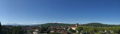
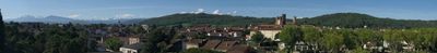
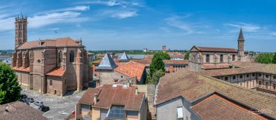
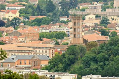
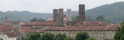
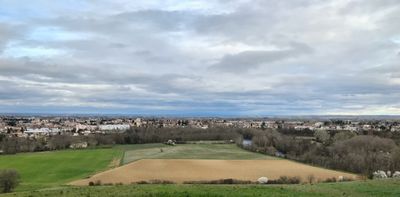
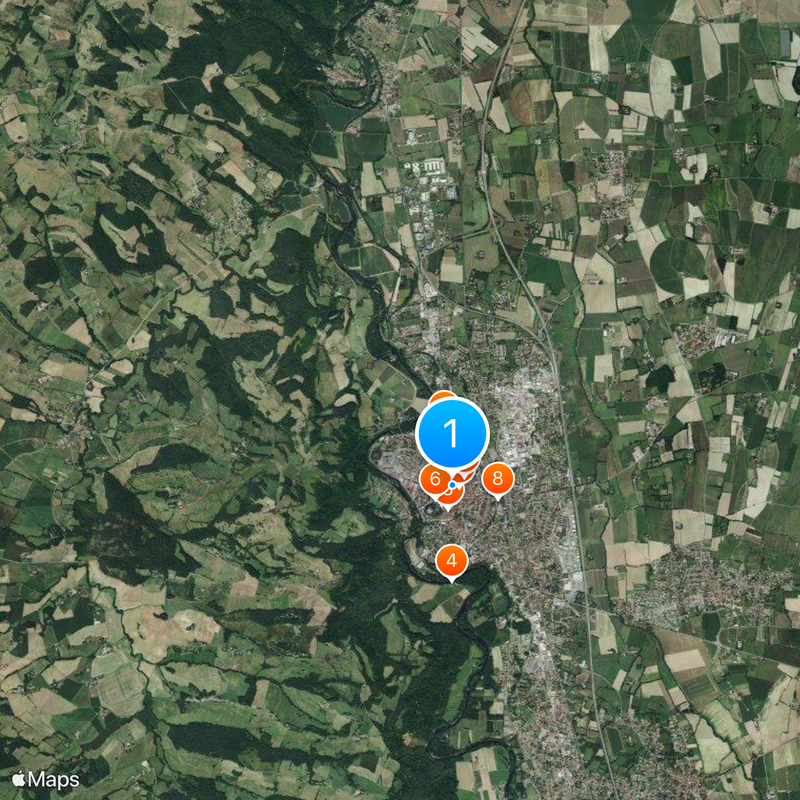
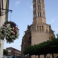
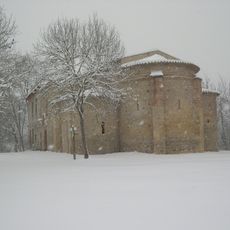
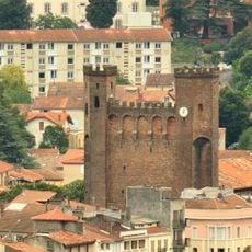
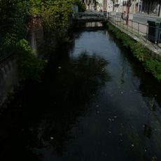
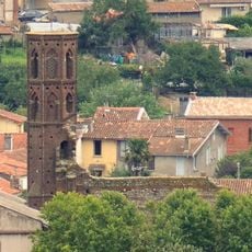
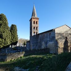
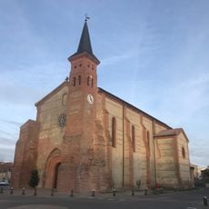
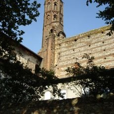
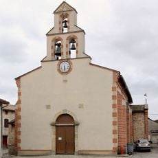
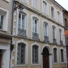
Pamiers sits along the Ariège River and spreads across a fertile valley with many medieval buildings and three church towers that shape its skyline. Three separate canals flow through the city center, creating a network of waterways that define how the place looks.

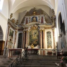
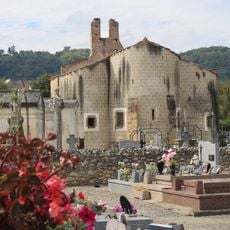
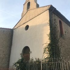
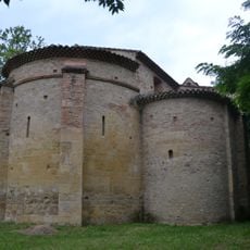
The settlement grew from a 5th-century monastery and became an important religious center, serving as the seat of bishops until 1801. This religious role shaped the city for centuries and left its mark on the buildings and layout.

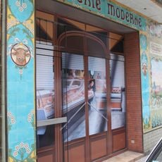
The city preserves Occitan traditions through language programs and regional music performances that keep local heritage alive. Visitors can experience cultural events that reflect the way people here connect with their regional identity and customs.

The city connects to Toulouse via the A66 motorway and regular train services, making the journey about 40 minutes by car or rail. From the center, you can easily reach the surrounding region by road or rail.

The city features a network of water mills powered by the three canals, with traces of these structures still visible around town. These mills reveal how water once drove both the economy and daily rhythms of the place.

Location: canton of Pamiers-Est

Location: canton of Pamiers-Ouest

Location: Ariège

Location: arrondissement of Pamiers

Elevation above the sea: 307 m

Shares border with: Benagues, Bézac, Bonnac, Le Carlaret, Escosse, Madière, Montaut, Saint-Bauzeil, Saint-Jean-du-Falga, Saint-Victor-Rouzaud, La Tour-du-Crieu, Verniolle, Villeneuve-du-Paréage

Address: 09100 Pamiers, France

Phone: +33561609500

Email: contact@ville-pamiers.fr

Website: http://ville-pamiers.fr

GPS coordinates: 43.11639,1.61083

Latest update: December 14, 2025 17:43

Photos
Reviews

Visited this place? Tap the stars to rate it and share your experience / photos with the community! Try now! You can cancel it anytime.

« Pamiers - Administrative center in Ariège, France » is provided by Around Us (aroundus.com). Images and texts are derived from Wikimedia project under a Creative Commons license. You are allowed to copy, distribute, and modify copies of this page, under the conditions set by the license, as long as this note is clearly visible.

Discover hidden gems everywhere you go!

From secret cafés to breathtaking viewpoints, skip the crowded tourist spots and find places that match your style. Our app makes it easy with voice search, smart filtering, route optimization, and insider tips from travelers worldwide. Download now for the complete mobile experience.

Around Us App Screenshot

A unique approach to discovering new places

Le Figaro

All the places worth exploring

France Info

A tailor-made excursion in just a few clicks

20 Minutes