Enable Location

We need your location to show you interesting places around you

Discover nearby places

Find interesting locations and hidden gems around you

Precise directions

Get accurate directions and distances to places

Your location is never shared with other users. It's only used when you tap the location button.

Arcangues

Log in to your account

Start exploring — it's free

Trusted by 63,931 travelers worldwide

Continue with Google
Continue with Apple
or

We will send you a code to connect

By continuing, you accept our Terms and Conditions and our Privacy Policy

Check your inbox

We've sent a pincode in your inbox. Please enter the code below.

Discussion Reviews 4 Photos
19k Popularity

Arcangues, commune in Pyrénées-Atlantiques, France

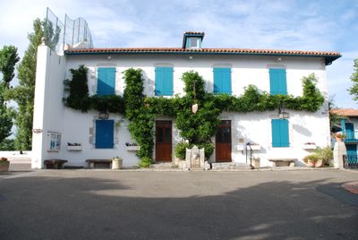
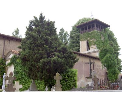
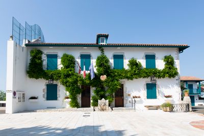
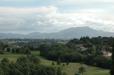
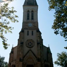
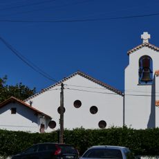
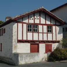
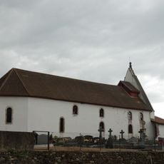
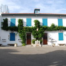
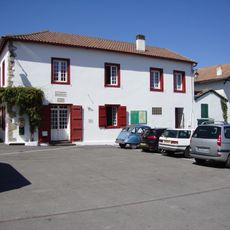
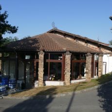
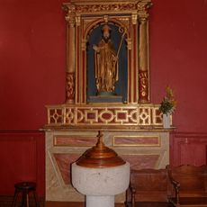
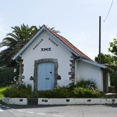
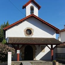
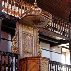
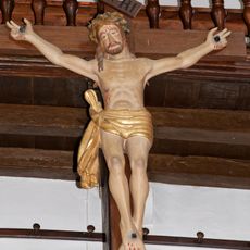
Arcangues is a small commune on a hilltop in the Labourd region, overlooking a golf course with the Pyrenees beyond. It features old stone and wooden buildings, gently winding streets, and a village center where the church of Saint-Jean-Baptiste, the town hall, and a fronton for traditional Basque pelota converge.

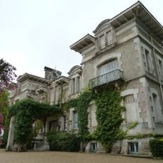
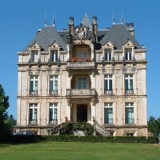
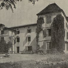
The d'Arcangues family ruled the commune from the 1500s to the 1700s, and their influence remains visible in local names and buildings. In the early 1800s, fierce fighting between French troops and the Duke of Wellington's army left a lasting mark on the village.

The name likely refers to a rocky height facing east, reflecting its position in the landscape. Local customs remain alive through festivals and traditional crafts that visitors encounter while walking through the village.

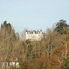
The village offers several marked walking trails including Boucle Oihana, Boucle Mariano, and Boucle du Chateau, allowing visitors to explore the countryside at their own pace. The nearby golf course and walking through the narrow streets on foot are also popular ways to spend time.

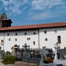
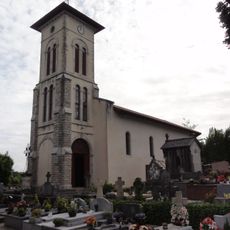
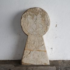
Luis Mariano, a famous singer, loved this village so much that he chose to be buried here; his tomb is now a popular spot visitors come to see. The cemetery offers views of mountain ranges and the colorful red and green houses of the village below.

The community of curious travelers

AroundUs brings together thousands of curated places, local tips, and hidden gems, enriched daily by 60,000 contributors worldwide.

Start exploring
Location
Elevation above the sea
51 m
Shares border with
Bassussarry, Ahetze, Anglet, Arbonne, Biarritz, Saint-Pée-sur-Nivelle, Ustaritz
Phone
GPS coordinates
43.43667,-1.52083
Latest update
February 16, 2026 23:00
Reviews
Share your experience

No review yet

Discussions
Start a discussion...

No discussion yet

« Arcangues - commune in Pyrénées-Atlantiques, France » is provided by Around Us (aroundus.com). Images and texts are derived from Wikimedia project under a Creative Commons license. You are allowed to copy, distribute, and modify copies of this page, under the conditions set by the license, as long as this note is clearly visible.

Discover hidden gems everywhere you go!

From secret cafés to breathtaking viewpoints, skip the crowded tourist spots and find places that match your style. Our app makes it easy with voice search, smart filtering, route optimization, and insider tips from travelers worldwide. Download now for the complete mobile experience.

Around Us App Screenshot

A unique approach to discovering new places

Le Figaro

All the places worth exploring

France Info

A tailor-made excursion in just a few clicks

20 Minutes

Around Us
Travel Guide & Maps
Download

Send to your phone

QR Code
1

Open the camera app on your mobile.

2

Point at the QR code with your camera. A notification will appear.

3

Tap the notification to open the link.