Enable Location

We need your location to show you interesting places around you

Discover nearby places

Find interesting locations and hidden gems around you

Precise directions

Get accurate directions and distances to places

Your location is never shared with other users. It's only used when you tap the location button.

Bellegarde-sur-Valserine

Log in to your account

Start exploring — it's free

Trusted by 62,447 travelers worldwide

Continue with Google
Continue with Apple
or

We will send you a code to connect

By continuing, you accept our Terms and Conditions and our Privacy Policy

Check your inbox

We've sent a pincode in your inbox. Please enter the code below.

Bellegarde-sur-Valserine

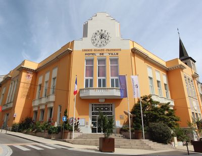
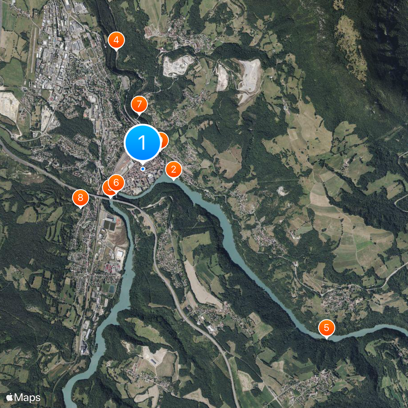
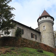
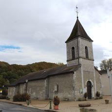
Bellegarde-sur-Valserine, Administrative district in eastern Auvergne-Rhône-Alpes, France

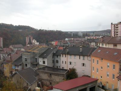
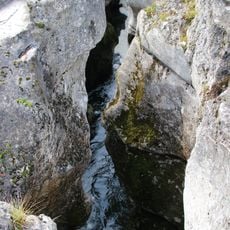
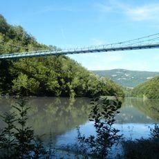
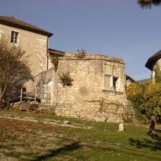
Bellegarde-sur-Valserine sits where the Valserine and Rhône rivers meet, surrounded by the Retord plateau and Grand Crêt d'Eau mountains that frame the landscape. The town occupies a valley floor with industrial heritage visible throughout its layout.

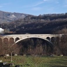
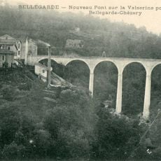
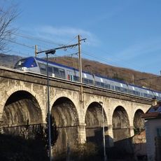
The area developed as a key transport hub along the Rhône valley during the 1800s. Administrative reorganization occurred when it merged into Valserhône in 2019.

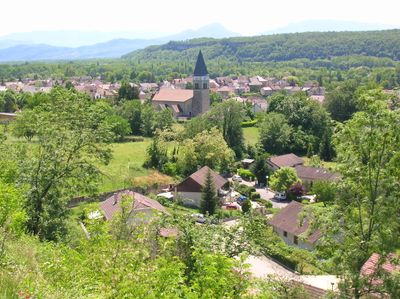
The area maintains international partnerships with Saint-Christophe in Italy's Aosta Valley and Bretten in Germany. These connections shape local identity and encourage regular exchanges between the regions.

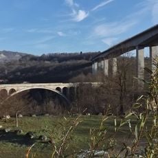
The railway station connects travelers to major cities like Paris, Lyon, Geneva, and Chambéry on the Lyon-Geneva line. This key location on a busy rail route makes getting around and exploring the region straightforward.

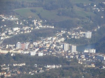
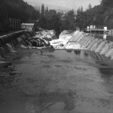
The Génissiat Dam changed the landscape by raising the Rhône's water level and submerging a natural phenomenon called the Perte du Rhône. This invisible transformation shows how infrastructure reshaped the valley's geography.

The community of curious travelers

AroundUs brings together thousands of curated places, local tips, and hidden gems, enriched daily by 60,000 contributors worldwide.

Start exploring
Location
Ain
Location
Inception
January 1, 1971
Elevation above the sea
567 m
Shares border with
Billiat, Châtillon-en-Michaille, Collonges, Lancrans, Léaz, Villes, Éloise, Saint-Germain-sur-Rhône, Arlod, Coupy
GPS coordinates
46.10750,5.82583
Latest update
December 17, 2025 08:13
« Bellegarde-sur-Valserine - Administrative district in eastern Auvergne-Rhône-Alpes, France » is provided by Around Us (aroundus.com). Images and texts are derived from Wikimedia project under a Creative Commons license. You are allowed to copy, distribute, and modify copies of this page, under the conditions set by the license, as long as this note is clearly visible.

Discover hidden gems everywhere you go!

From secret cafés to breathtaking viewpoints, skip the crowded tourist spots and find places that match your style. Our app makes it easy with voice search, smart filtering, route optimization, and insider tips from travelers worldwide. Download now for the complete mobile experience.

Around Us App Screenshot

A unique approach to discovering new places

Le Figaro

All the places worth exploring

France Info

A tailor-made excursion in just a few clicks

20 Minutes

Around Us
Travel Guide & Maps
Download

Send to your phone

QR Code
1

Open the camera app on your mobile.

2

Point at the QR code with your camera. A notification will appear.

3

Tap the notification to open the link.