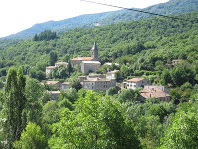
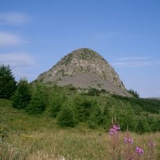
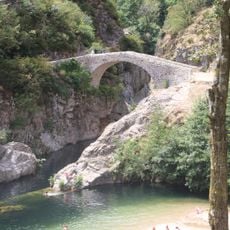
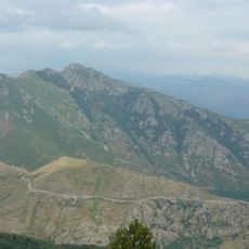
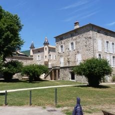
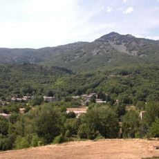
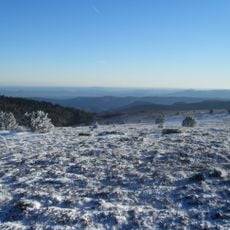
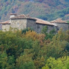
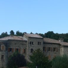
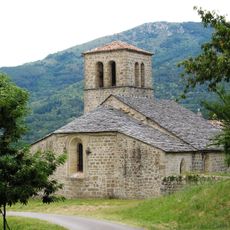
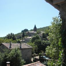
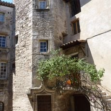
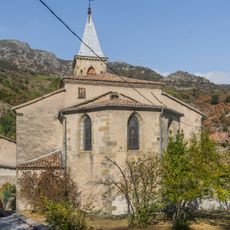
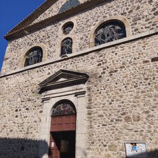
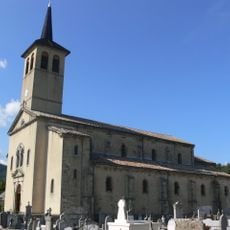
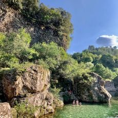
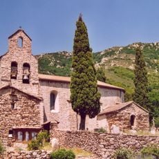
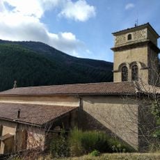
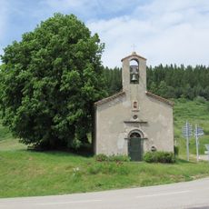
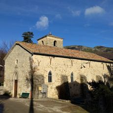
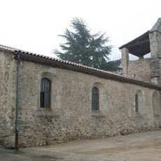
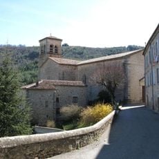
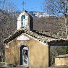
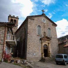
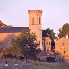
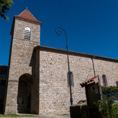
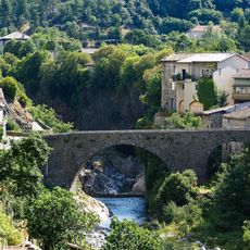
La Souche, commune in Ardèche, France
Location: Ardèche
Location: arrondissement of Largentière
Elevation above the sea: 947 m
Shares border with: Barnas, Borne, Jaujac, Laboule, Mayres, Thueyts, Valgorge
Phone: +33475379011
Email: contact@lasouche.fr
Website: http://lasouche.fr
GPS coordinates: 44.62917,4.19722
Latest update: June 12, 2025 11:49
Monts d'Ardèche
4.9 km
Pont du Diable
5 km
Rocher d'Abraham
5.6 km
Château de Blou
5.6 km
Mont Aigu
2.1 km
Grand Tanargue
9.4 km
Château du Bruget
3.8 km
Les Valadous
11.3 km
Château de Castrevieille
4.6 km
Signal de Coucoulude
8.1 km
Église Saint-Grégoire de Prunet
6.3 km
Église Saint-Sauveur de La Souche
114 m
Immeuble Jardet
5.6 km
Saint Martin Church of Mayres
7.7 km
Église Saint-Jean-Baptiste de Thueyts
5.6 km
Église Saint-Bonnet de Jaujac
4.7 km
Plage de la Turbine
4.7 km
Église de Dompnac
10.3 km
Église Saint-Martin de Valgorge
7.6 km
Chapelle Notre Dame des Voyageurs du col du Bez
11.7 km
Église Saint-Roch de Valgorge
7.1 km
Église Notre-Dame-de-l'Immaculée-Conception de Laboule
5.3 km
Église Notre-Dame de Rocles
7.6 km
Chapelle Notre-Dame-des-Voyageurs du Château
9.4 km
Église Saint-Théophrède de Barnas
5 km
Église fortifiée Saint-Jean-Baptiste de Loubaresse
12.1 km
Chapelle Saint-Louis de La Souche
3.5 km
Pont du Chastelas
4.6 kmReviews
Visited this place? Tap the stars to rate it and share your experience / photos with the community! Try now! You can cancel it anytime.
Discover hidden gems everywhere you go!
From secret cafés to breathtaking viewpoints, skip the crowded tourist spots and find places that match your style. Our app makes it easy with voice search, smart filtering, route optimization, and insider tips from travelers worldwide. Download now for the complete mobile experience.
A unique approach to discovering new places❞
— Le Figaro
All the places worth exploring❞
— France Info
A tailor-made excursion in just a few clicks❞
— 20 Minutes