Mont Aigu, Mountain peak in Ardèche department, France
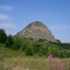
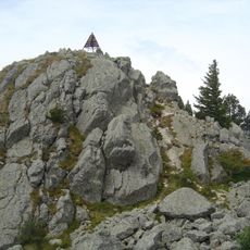
Mont Aigu is a summit in the Tanargue massif in Ardèche, rising to 1,316 metres directly south of the main village of La Souche. Its upper slopes show gray exposed rock and scattered low green vegetation, while darker forest covers the lower flanks. A ridge descends gradually to the left, and the right side drops more steeply below the rounded, uneven peak.
The summit served for centuries as a waypoint for shepherds and travelers moving across mountain paths in the region. The routes hikers follow today partly trace these older passages through the terrain.
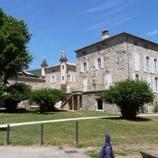
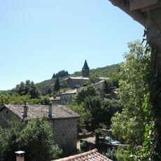
Mont Aigu lies in the Tanargue massif, and its name comes from the French for "sharp peak", though the summit itself is rounded. The mountain rises directly south of La Souche, the main village of the commune, whose pale walls and reddish roofs appear below the forested lower slopes.
The hike to the summit follows marked trails and takes about three hours from the main parking area. Sturdy footwear and plenty of water are important because the paths are steep in places and shade is limited along parts of the route.
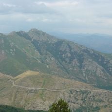
From this peak you can see across four French departments at once: Ardèche, Haute-Loire, Lozère, and Gard. On clear days visitors grasp the diversity of the surrounding regions in a single view.
The community of curious travelers
AroundUs brings together thousands of curated places, local tips, and hidden gems, enriched daily by 93,464 contributors worldwide.