Enable Location

We need your location to show you interesting places around you

Discover nearby places

Find interesting locations and hidden gems around you

Precise directions

Get accurate directions and distances to places

Your location is never shared with other users. It's only used when you tap the location button.

Rocher d'Abraham

Log in to your account

Start exploring — it's free

Trusted by 61,909 travelers worldwide

Continue with Google
Continue with Apple
or

We will send you a code to connect

By continuing, you accept our Terms and Conditions and our Privacy Policy

Check your inbox

We've sent a pincode in your inbox. Please enter the code below.

Rocher d'Abraham

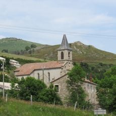
Rocher d'Abraham, Mountain summit in Ardèche Cévennes, France

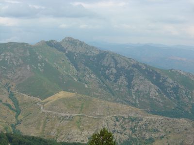
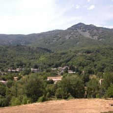
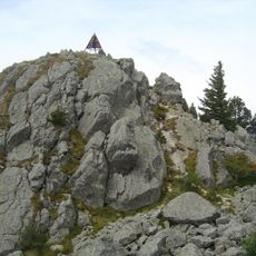
Rocher d'Abraham is a mountain summit in Ardèche that rises to 1,498 meters and stands between the towns of Barnas, La Souche, and Mayres. The peak offers unobstructed views across the surrounding terrain and distant ranges.

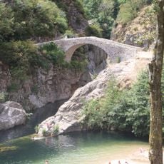
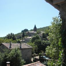
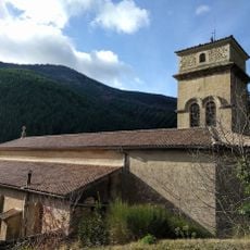
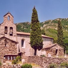
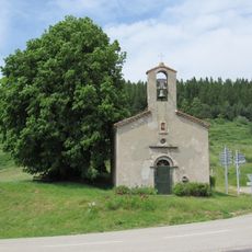
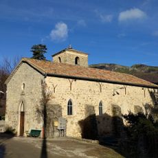
Mountain paths to this summit were shaped over centuries as shepherds and local inhabitants crossed these heights in their daily routines. These routes carry the traces of a long human presence in the region.

A statue at the summit honors Jean Gilly, a noted hiker from the area, carved by sculptor Pierre-Louis Chipon. The memorial reflects how local communities preserve the memory of those who explored and loved these mountains.

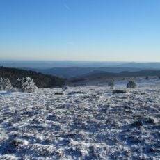
The best time to hike is during warmer months when trails are dry and easy to walk. Wear sturdy footwear and bring water and snacks, as there is little shelter along the way from sun and wind.

On clear days, visitors can spot Mont Blanc, Mont Gerbier de Jonc, and the entire Cévennes range from this point. These distant views reveal the peak's role as a natural vantage point across multiple mountain regions.

The community of curious travelers

AroundUs brings together thousands of curated places, local tips, and hidden gems, enriched daily by 60,000 contributors worldwide.

Start exploring
Location
Elevation above the sea
1,498 m
GPS coordinates
44.64229,4.12906
Latest update
December 14, 2025 14:27
« Rocher d'Abraham - Mountain summit in Ardèche Cévennes, France » is provided by Around Us (aroundus.com). Images and texts are derived from Wikimedia project under a Creative Commons license. You are allowed to copy, distribute, and modify copies of this page, under the conditions set by the license, as long as this note is clearly visible.

Discover hidden gems everywhere you go!

From secret cafés to breathtaking viewpoints, skip the crowded tourist spots and find places that match your style. Our app makes it easy with voice search, smart filtering, route optimization, and insider tips from travelers worldwide. Download now for the complete mobile experience.

Around Us App Screenshot

A unique approach to discovering new places

Le Figaro

All the places worth exploring

France Info

A tailor-made excursion in just a few clicks

20 Minutes

Around Us
Travel Guide & Maps
Download

Send to your phone

QR Code
1

Open the camera app on your mobile.

2

Point at the QR code with your camera. A notification will appear.

3

Tap the notification to open the link.