Saint-Claude, Administrative center in Jura, France
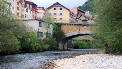
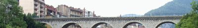
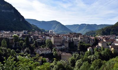
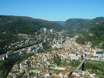
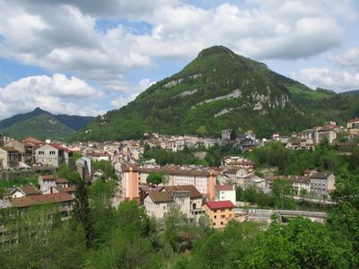
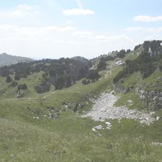
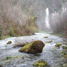
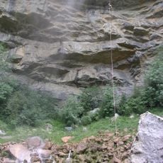
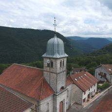
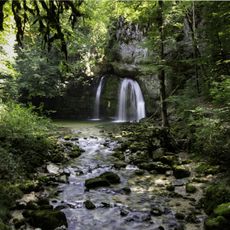
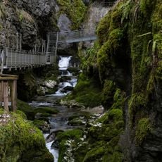
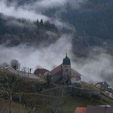
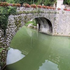
Saint-Claude is a commune in the Jura department of eastern France, where the Bienne and Tacon rivers meet. The town sits in a narrow valley at about 1,200 feet (360 meters), with forested slopes rising on either side.
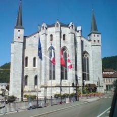
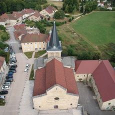
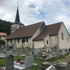
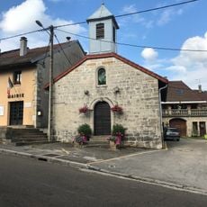
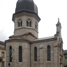
Monks founded a monastery here in the 5th century, first called Condat and later Saint-Oyand. The current name appeared in the 12th century, honoring an abbot whose tomb drew pilgrims.
The town developed strong expertise in pipe manufacturing during the 19th century, with craftsmen producing wooden pipes that gained recognition across France.
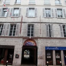
The streets follow the course of both rivers through town, making it easy to find your way. Most facilities in the center are within walking distance for visitors.
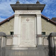
During the Second World War, residents helped Jewish refugees escape to Switzerland, just a few kilometers away. German forces shot several local men in 1944 in response.
Location: Jura
Location: arrondissement of Saint-Claude
Inception: January 1, 1974
Elevation above the sea: 788 m
Shares border with: La Rixouse, Leschères, Avignon-lès-Saint-Claude, Larrivoire, Coiserette, Villard-Saint-Sauveur, Lamoura, Longchaumois, Septmoncel Les Molunes, Chassal-Molinges, Lavans-lès-Saint-Claude, Coteaux du Lizon
Address: 39200 Saint-Claude, France
Phone: +33384414243
Website: https://saint-claude.fr
GPS coordinates: 46.38722,5.86333
Latest update: December 12, 2025 18:15
Haut-Jura Regional Natural Park
6.8 kmCondat Abbey
252 m
Musée de la Pipe et du Diamant de Saint-Claude
218 m
Saint-Claude Cathedral
238 m
Maison du peuple de Saint-Claude
64 m
Gorges du Flumen
5.1 km
Musée de l'Abbaye
183 m
Cascade de la queue de cheval
2.5 km
Église Notre-Dame de Saint-Lupicin
5.6 kmCrêt Pourri
3.2 kmPalais abbatial de Saint-Claude
192 m
Chapelle des Carmes de Saint-Claude
99 m
Église Saint-Sébastien de Valfin-lès-Saint-Claude
5.8 km
Cascades du Flumen
4.1 km
Église Saint-Cyr-et-Sainte-Julitte de La Rixouse
9.1 km
Cascade des Combes
2 km
Golf de Saint-Claude
3 km
Parking Gorges de l'Abîme
2.1 km
Église Saint-Antoine de Villard-Saint-Sauveur
2.9 km
Église Saint-Denis de Leschères
7.7 km
Église Saint-Antoine des Crozets
9.8 km
Église Saint-François-de-Sales de Lamoura
8 km
Église Saint-Étienne de Septmoncel
4.2 kmFerme La Vie du Lac
7.8 km
Puente de Aviñón
855 m
War memorial of Saint-Lupicin
5.6 km
Chapelle de Ravilloles
6.3 km
Chapelle expiatoire des Carmes de Saint-Claude
155 mVisited this place? Tap the stars to rate it and share your experience / photos with the community! Try now! You can cancel it anytime.
Discover hidden gems everywhere you go!
From secret cafés to breathtaking viewpoints, skip the crowded tourist spots and find places that match your style. Our app makes it easy with voice search, smart filtering, route optimization, and insider tips from travelers worldwide. Download now for the complete mobile experience.
A unique approach to discovering new places❞
— Le Figaro
All the places worth exploring❞
— France Info
A tailor-made excursion in just a few clicks❞
— 20 Minutes