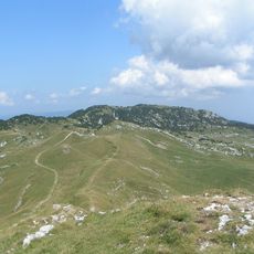
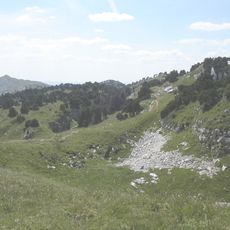
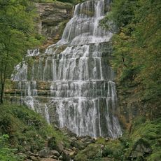
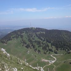
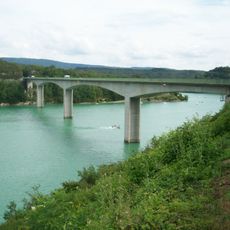
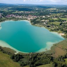
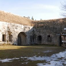
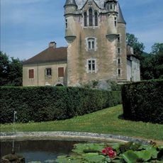
Arrondissement of Saint-Claude, arrondissement of France
Location: Jura
Capital city: Saint-Claude
GPS coordinates: 46.38330,5.86667
Latest update: March 5, 2025 07:36
Lac de Vouglans
19.5 km
Crêt de la Neige
13.7 km
Fort des Rousses
18 km
Haut-Jura Regional Natural Park
6.7 km
Chartreuse de Vaucluse
15.5 km
Lac de Divonne
22.2 km
Château de Divonne
20.7 km
La Barillette
20.4 km
Condat Abbey
346 m
Observatory of Geneva
22.3 km
Pont de la Pyle
20.8 km
Viaducts in Morez
20.2 km
Bonmont cistercian abbey
21.8 km
Pic de l'Aigle
26 km
Le Grand Lac de Clairvaux
22.8 km
Cascades of Hérisson
25.8 km
Crêt Pela
12.4 km
Le Noirmont
22.2 km
Borne au Lion
13.2 km
Abbaye du Grandvaux
17.4 km
Fort du Risoux
21.4 km
Château de Dortan
17.5 km
Espace des Mondes Polaires
15.2 km
Colomby de Gex
12 km
Musée de la Pipe et du Diamant de Saint-Claude
423 m
Musée de la lunette
19.4 km
Réserve naturelle nationale de la haute-chaîne du Jura
13.2 km
Saint-Claude Cathedral
363 mVisited this place? Tap the stars to rate it and share your experience / photos with the community! Try now! You can cancel it anytime.
Discover hidden gems everywhere you go!
From secret cafés to breathtaking viewpoints, skip the crowded tourist spots and find places that match your style. Our app makes it easy with voice search, smart filtering, route optimization, and insider tips from travelers worldwide. Download now for the complete mobile experience.
A unique approach to discovering new places❞
— Le Figaro
All the places worth exploring❞
— France Info
A tailor-made excursion in just a few clicks❞
— 20 Minutes