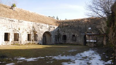
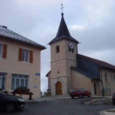
Fort du Risoux, Military fort in Les Rousses, France.
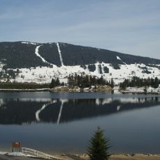
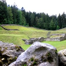
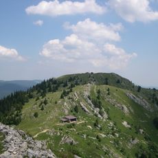
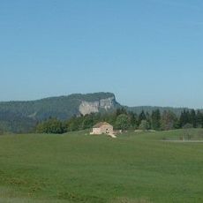
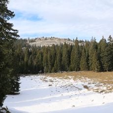
Fort du Risoux is a military fort located at 1273 meters elevation on a hillside within the Risoux forest, overlooking the lake below in the Jura region. The structure displays a five-sided design with earthen ramparts and underground passages designed for defensive movement between the different gun positions.
This fort was built between 1880 and 1884 as part of a major French border defense strategy developed during the late 1800s. The design responded to changes in military technology and reflected new thinking about how to protect frontier areas during that era.
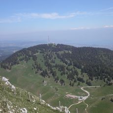
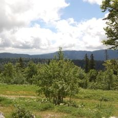
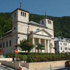
The fort rises within the Risoux forest where hikers and locals know it as a landmark visible from different viewpoints across the Jura region. Its position above the lake made it stand out in people's mental map of the surrounding mountains and valleys.
The fort is accessible by hiking trail from Les Rousses, a walk that takes several hours and involves steady climbing through wooded areas. Bring sturdy footwear and allow time for breaks since the path is steep and the ground can be muddy or rocky depending on the season.
During construction, workers used a rope and pulley system to haul heavy materials up the steep slope from the lake below. This makeshift setup, which builders called 'la ficelle', left physical traces on the landscape that remain visible to explorers who know where to look.
The community of curious travelers
AroundUs brings together thousands of curated places, local tips, and hidden gems, enriched daily by 60,000 contributors worldwide.