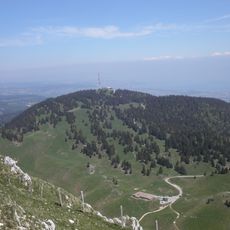
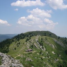
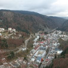
Mont Fier, Mountain summit in Prémanon, France
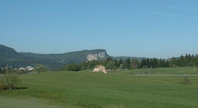
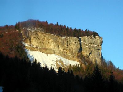
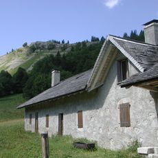
Mont Fier is a mountain summit in the Jura region near the French-Swiss border, built from sedimentary rock layers. Its slopes display limestone formations that reveal different geological periods stacked one above another.
The mountain took shape during the Jurassic period when sediments accumulated in an ancient sea and were later compressed into folded rock layers. This folding process created the arching structure visible in the peak today.
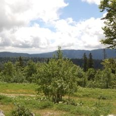
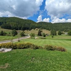
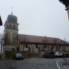
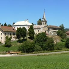
The mountain serves as a landmark for people exploring the Jura region and holds meaning for local walkers who navigate these paths regularly. It shapes how visitors understand the landscape around Prémanon.
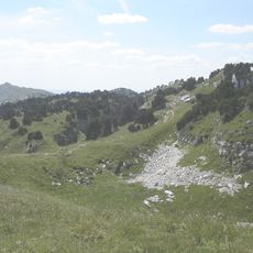
Well-marked hiking trails lead to the summit, with route information available at the Prémanon tourist office. Bring sturdy footwear and a map, as mountain weather can change quickly in this region.
The mountain features two deep side valleys on its flanks that create dramatic cliff walls and hidden channels in the landscape. These formations are rarely explored and offer a quieter experience away from the main summit trail.
Location: Jura
Elevation above the sea: 1,282 m
Made from material: sedimentary rock
GPS coordinates: 46.46256,6.00184
Latest update: December 14, 2025 20:30
Fort des Rousses
4.5 km
Haut-Jura Regional Natural Park
8 km
La Barillette
10 km
Viaducts in Morez
7.6 km
Crêt Pela
5.7 km
Le Noirmont
9.1 km
Fort du Risoux
7.8 km
Espace des Mondes Polaires
2.1 km
Musée de la lunette
6.7 km
Musée Paul-Émile Victor
2.1 km
Pointe de Poêle Chaud
8.6 km
Église de l'Assomption-de-Notre-Dame de Morez
6.7 km
Golf du Rochat
6.7 km
Hôtel de ville de Morez
6.7 km
Église Saint-Cyr-et-Sainte-Julitte de La Rixouse
8.9 km
Golf du Mont Saint-Jean
6.3 km
Église Saint-Michel de Morbier
8.3 km
Golf de la Valserine
9.3 km
Roche au Dade
7.2 km
Église Saint-Barthélémy de Prémanon
2.3 km
Église Saint-Georges de Château-des-Prés
8.9 km
Église Saint-François-de-Sales de Lamoura
8 km
Église Saint-Pierre des Rousses
5.3 km
Église Saint-Eustache de La Mouille
4.7 km
Chapelle des Jouvencelles
3.9 km
Creux du Croue
9.9 km
Musée des Lapidaires
7.7 km
Viaduc de Romand
8.8 kmVisited this place? Tap the stars to rate it and share your experience / photos with the community! Try now! You can cancel it anytime.
Discover hidden gems everywhere you go!
From secret cafés to breathtaking viewpoints, skip the crowded tourist spots and find places that match your style. Our app makes it easy with voice search, smart filtering, route optimization, and insider tips from travelers worldwide. Download now for the complete mobile experience.
A unique approach to discovering new places❞
— Le Figaro
All the places worth exploring❞
— France Info
A tailor-made excursion in just a few clicks❞
— 20 Minutes