Enable Location

We need your location to show you interesting places around you

Discover nearby places

Find interesting locations and hidden gems around you

Precise directions

Get accurate directions and distances to places

Your location is never shared with other users. It's only used when you tap the location button.

Étampes

Log in to your account

Start exploring — it's free

Trusted by 63,034 travelers worldwide

Continue with Google
Continue with Apple
or

We will send you a code to connect

By continuing, you accept our Terms and Conditions and our Privacy Policy

Check your inbox

We've sent a pincode in your inbox. Please enter the code below.

Discussion Reviews 4 Photos
57.4k Popularity

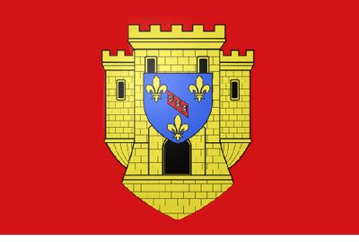
Étampes, Administrative division in Île-de-France region, France.

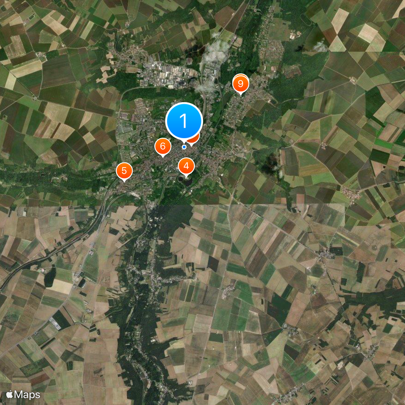
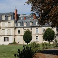
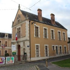
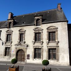
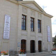
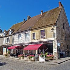
This commune in Essonne lies roughly 40 kilometers south of Paris along the Juine river valley. The municipal territory includes historic buildings and residential neighborhoods surrounding an old town center.

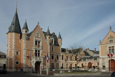
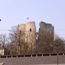
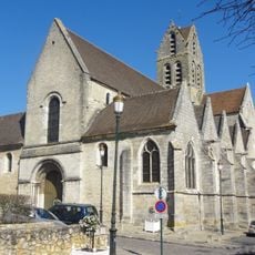
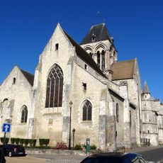
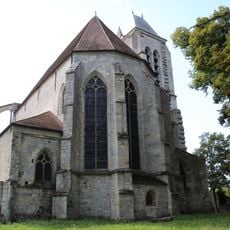
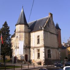
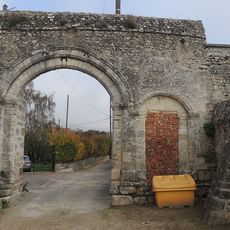
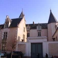
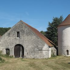
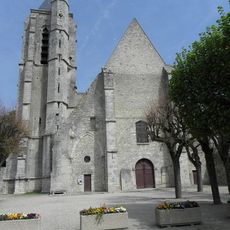
During medieval times this place grew into a royal residence used by kings as a hunting lodge. The construction of fortifications and churches shaped the development of the settlement into early modern times.

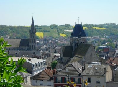
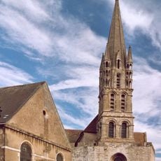
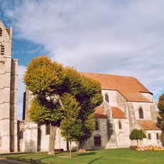
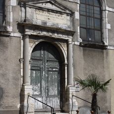
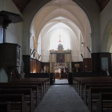
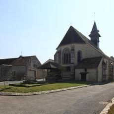
The name derives from the Latin word Stampae, which evolved through centuries of use. Today the area includes several churches and chapels where residents gather for weddings and religious celebrations.

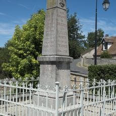
The train station offers regular connections to Paris, allowing travelers to reach the capital in about an hour. The old town can be explored on foot, with signs pointing to historic buildings and squares.

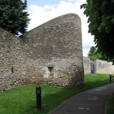
Several medieval towers remain within the municipal boundaries, some still visible from the street. The shape of the old center still follows the path of the former town wall.

The community of curious travelers

AroundUs brings together thousands of curated places, local tips, and hidden gems, enriched daily by 60,000 contributors worldwide.

Start exploring
Location
Elevation above the sea
133 m
Shares border with
Brières-les-Scellés, Guillerval, Saclas, Boissy-la-Rivière, Boissy-le-Sec, Boutervilliers, Chalo-Saint-Mars, La Forêt-Sainte-Croix, Morigny-Champigny, Ormoy-la-Rivière, Saint-Hilaire
Address
91150 Étampes, France
Phone
GPS coordinates
48.43446,2.16145
Latest update
December 17, 2025 07:36
Reviews
Share your experience

No review yet

Discussions
Start a discussion...

No discussion yet

« Étampes - Administrative division in Île-de-France region, France » is provided by Around Us (aroundus.com). Images and texts are derived from Wikimedia project under a Creative Commons license. You are allowed to copy, distribute, and modify copies of this page, under the conditions set by the license, as long as this note is clearly visible.

Discover hidden gems everywhere you go!

From secret cafés to breathtaking viewpoints, skip the crowded tourist spots and find places that match your style. Our app makes it easy with voice search, smart filtering, route optimization, and insider tips from travelers worldwide. Download now for the complete mobile experience.

Around Us App Screenshot

A unique approach to discovering new places

Le Figaro

All the places worth exploring

France Info

A tailor-made excursion in just a few clicks

20 Minutes

Around Us
Travel Guide & Maps
Download

Send to your phone

QR Code
1

Open the camera app on your mobile.

2

Point at the QR code with your camera. A notification will appear.

3

Tap the notification to open the link.