Enable Location

We need your location to show you interesting places around you

Discover nearby places

Find interesting locations and hidden gems around you

Precise directions

Get accurate directions and distances to places

Your location is never shared with other users. It's only used when you tap the location button.

Dole

Log in to your account

Start exploring — it's free

Trusted by 62,935 travelers worldwide

Continue with Google
Continue with Apple
or

We will send you a code to connect

By continuing, you accept our Terms and Conditions and our Privacy Policy

Check your inbox

We've sent a pincode in your inbox. Please enter the code below.

Discussion Reviews 3 Photos 1 Collections
98k Popularity

Dole, Administrative division in Bourgogne-Franche-Comté, France.

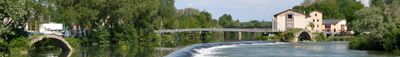
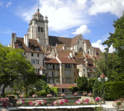
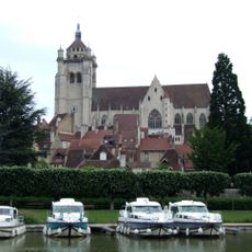
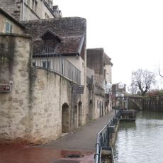
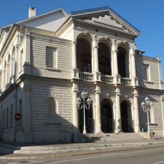
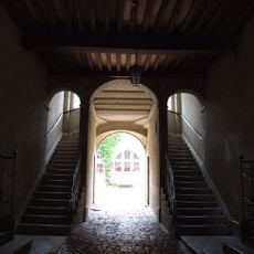
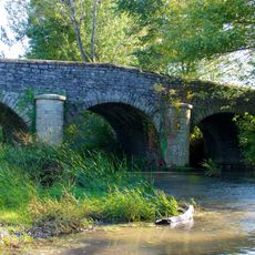
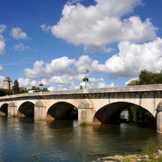
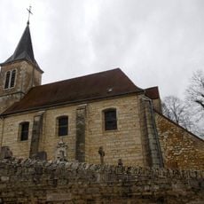
Dole is a town in the Jura department that stretches along the Doubs River and is threaded by a network of canals. The old town clusters around the Notre-Dame church and is marked by narrow lanes lined with houses from the 16th and 17th centuries.

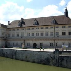
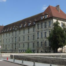
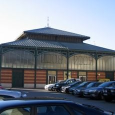
The town served as the capital of the Free County of Burgundy until 1676 and housed the parliament and a university. After the French conquest, it lost these functions to Besançon but kept its role as a trading center on the river.

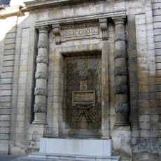
The birthplace of Louis Pasteur stands beside the canal and now serves as a museum, guiding visitors through the rooms where the scientist spent his childhood. Along the waterfront promenade, you can see old tanneries with wooden balconies still leaning over the water.

The central area is easy to walk around, and several car parks sit at the edge of the old town. A walk through the narrow streets takes around two hours, longer if you visit museums or stroll along the canal.

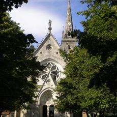
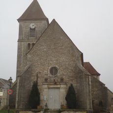
The Notre-Dame basilica has a freestanding bell tower that rises 75 meters (246 feet) above the town and is visible from almost anywhere in the center. From the upper part of the tower, you can see the loops of the Doubs and the hills all around.

The community of curious travelers

AroundUs brings together thousands of curated places, local tips, and hidden gems, enriched daily by 60,000 contributors worldwide.

Start exploring
Location
Elevation above the sea
227 m
Shares border with
Jouhe, Authume, Brevans, Champvans, Choisey, Crissey, Falletans, Foucherans, La Loye, Monnières, Parcey, Sampans, Villette-lès-Dole
Address
39100 Dole, France
Phone
GPS coordinates
47.09222,5.48972
Latest update
December 12, 2025 17:45
Visit Jura: natural sites, historic villages, and mountain resorts

The Jura department features varied landscapes with mountain ranges, limestone plateaus, and forested valleys. The terrain has shaped notable geological sites: the Hérisson waterfalls stretch over nearly 4 kilometers with 31 waterfalls, the Baume-les-Messieurs Reculée forms a closed valley with...

Reviews
Share your experience

No review yet

Discussions
Start a discussion...

No discussion yet

« Dole - Administrative division in Bourgogne-Franche-Comté, France » is provided by Around Us (aroundus.com). Images and texts are derived from Wikimedia project under a Creative Commons license. You are allowed to copy, distribute, and modify copies of this page, under the conditions set by the license, as long as this note is clearly visible.

Discover hidden gems everywhere you go!

From secret cafés to breathtaking viewpoints, skip the crowded tourist spots and find places that match your style. Our app makes it easy with voice search, smart filtering, route optimization, and insider tips from travelers worldwide. Download now for the complete mobile experience.

Around Us App Screenshot

A unique approach to discovering new places

Le Figaro

All the places worth exploring

France Info

A tailor-made excursion in just a few clicks

20 Minutes

Around Us
Travel Guide & Maps
Download

Send to your phone

QR Code
1

Open the camera app on your mobile.

2

Point at the QR code with your camera. A notification will appear.

3

Tap the notification to open the link.