Enable Location

We need your location to show you interesting places around you

Discover nearby places

Find interesting locations and hidden gems around you

Precise directions

Get accurate directions and distances to places

Your location is never shared with other users. It's only used when you tap the location button.

Vauvert

Log in to your account

Start exploring — it's free

Trusted by 62,403 travelers worldwide

Continue with Google
Continue with Apple
or

We will send you a code to connect

By continuing, you accept our Terms and Conditions and our Privacy Policy

Check your inbox

We've sent a pincode in your inbox. Please enter the code below.

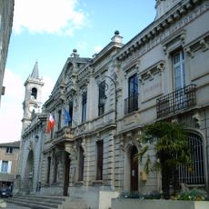
Vauvert, Administrative center in Occitanie, France

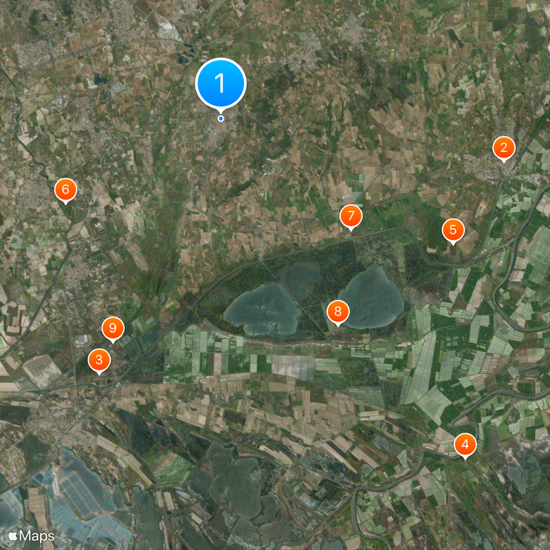
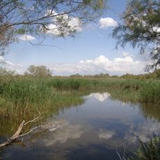
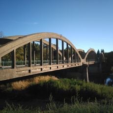
Vauvert is an administrative center in the Gard department, located on flat land in the southwestern part of the region. The town sits at around 30 meters elevation and features Mediterranean vegetation typical of this lowland area.

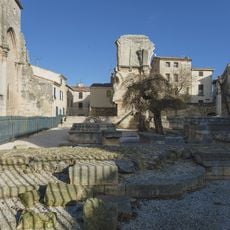
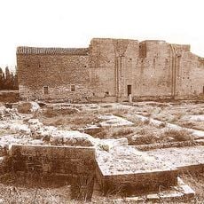
During the Middle Ages, the settlement was called Posquières and hosted a large Jewish community that shaped the region's religious character. This medieval period established the foundations of what would become the modern town.

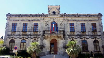
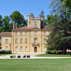
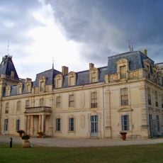
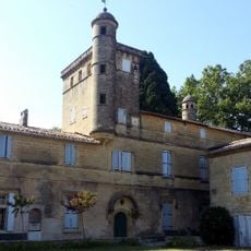
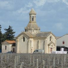
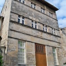
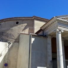
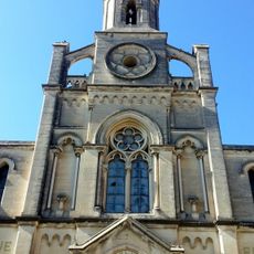
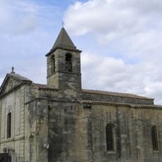
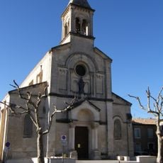
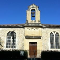
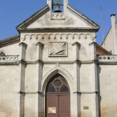
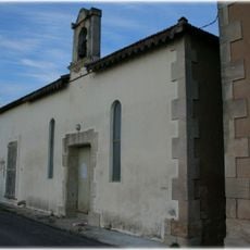
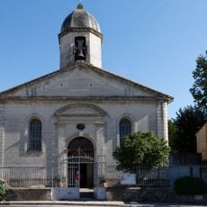
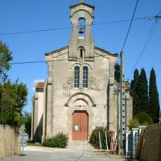
The town maintains its architectural heritage through buildings such as the Montcalm Chapel, classified in 2000, and the Protestant temple, registered in 2012.

A local shuttle service called Vauvéo connects different areas of the town and sometimes runs with reduced morning service during maintenance periods. Check in advance if you plan to travel early in the day.

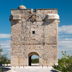
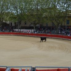
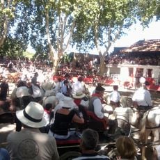
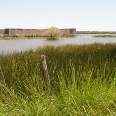
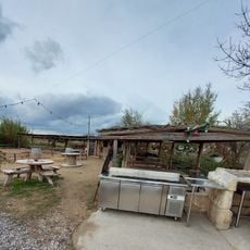
The town is part of the Petite Camargue community and sits in an area with special natural features that support wine production in a Mediterranean climate. This location brings together flat terrain with local agricultural traditions.

The community of curious travelers

AroundUs brings together thousands of curated places, local tips, and hidden gems, enriched daily by 60,000 contributors worldwide.

Start exploring
Location
Elevation above the sea
15 m
Shares border with
Les Saintes-Maries-de-la-Mer, Beauvoisin, Le Cailar, Saint-Gilles, Saint-Laurent-d'Aigouze, Vestric-et-Candiac
Phone
GPS coordinates
43.69333,4.27611
Latest update
December 20, 2025 15:11
« Vauvert - Administrative center in Occitanie, France » is provided by Around Us (aroundus.com). Images and texts are derived from Wikimedia project under a Creative Commons license. You are allowed to copy, distribute, and modify copies of this page, under the conditions set by the license, as long as this note is clearly visible.

Discover hidden gems everywhere you go!

From secret cafés to breathtaking viewpoints, skip the crowded tourist spots and find places that match your style. Our app makes it easy with voice search, smart filtering, route optimization, and insider tips from travelers worldwide. Download now for the complete mobile experience.

Around Us App Screenshot

A unique approach to discovering new places

Le Figaro

All the places worth exploring

France Info

A tailor-made excursion in just a few clicks

20 Minutes

Around Us
Travel Guide & Maps
Download

Send to your phone

QR Code
1

Open the camera app on your mobile.

2

Point at the QR code with your camera. A notification will appear.

3

Tap the notification to open the link.