Enable Location

We need your location to show you interesting places around you

Discover nearby places

Find interesting locations and hidden gems around you

Precise directions

Get accurate directions and distances to places

Your location is never shared with other users. It's only used when you tap the location button.

Étaples

Log in to your account

Start exploring — it's free

Trusted by 62,055 travelers worldwide

Continue with Google
Continue with Apple
or

We will send you a code to connect

By continuing, you accept our Terms and Conditions and our Privacy Policy

Check your inbox

We've sent a pincode in your inbox. Please enter the code below.

Étaples, Administrative division in Pas-de-Calais, France

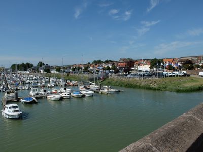
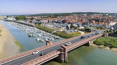
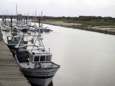
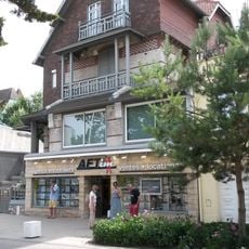
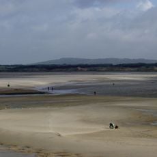
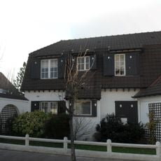
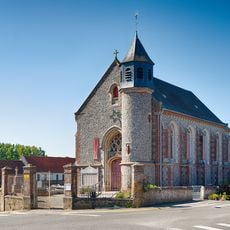
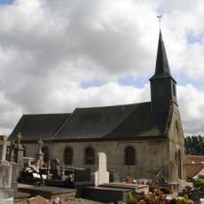
Étaples is a small harbor town where the Canche River meets the sea along France's northern coast. The settlement spreads across both sides of the river and centers on its working port and fishing operations.

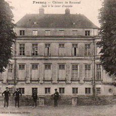
The settlement grew from the Roman outpost of Stapulae into a medieval trading harbor that held strategic importance during the Hundred Years War. It developed as a major fishing center and maintained its maritime role through centuries of regional commerce.

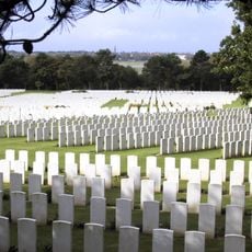
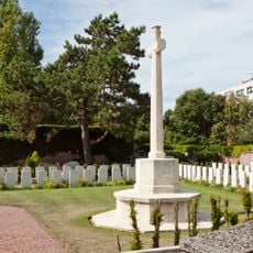
The Étaples Military Cemetery contains 11,000 Commonwealth soldier graves from World War I, making it a significant memorial site in northern France.

The town connects to major regional centers via the A16 motorway and train station. The harbor and fish market are openly accessible, allowing visitors to observe the daily working life of this maritime community.

The Étaples Military Cemetery holds the graves of around 11,000 Commonwealth soldiers from World War I, making it one of the largest such cemeteries in France. This memorial reflects the town's role as a military hub during the conflict.

The community of curious travelers

AroundUs brings together thousands of curated places, local tips, and hidden gems, enriched daily by 60,000 contributors worldwide.

Start exploring
Location
Elevation above the sea
33 m
Shares border with
Lefaux, Saint-Josse, Le Touquet-Paris-Plage, Tubersent, Camiers, Cucq, Frencq
Phone
GPS coordinates
50.51778,1.64056
Latest update
December 7, 2025 10:08
« Étaples - Administrative division in Pas-de-Calais, France » is provided by Around Us (aroundus.com). Images and texts are derived from Wikimedia project under a Creative Commons license. You are allowed to copy, distribute, and modify copies of this page, under the conditions set by the license, as long as this note is clearly visible.

Discover hidden gems everywhere you go!

From secret cafés to breathtaking viewpoints, skip the crowded tourist spots and find places that match your style. Our app makes it easy with voice search, smart filtering, route optimization, and insider tips from travelers worldwide. Download now for the complete mobile experience.

Around Us App Screenshot

A unique approach to discovering new places

Le Figaro

All the places worth exploring

France Info

A tailor-made excursion in just a few clicks

20 Minutes

Around Us
Travel Guide & Maps
Download

Send to your phone

QR Code
1

Open the camera app on your mobile.

2

Point at the QR code with your camera. A notification will appear.

3

Tap the notification to open the link.