Clohars-Carnoët

Log in to your account

AroundUs is a community-driven map of interesting places, built by curious explorers like you. It grows with every review, story, and photo you share.
Connect to save your favorite spots, contribute locations, and create personalized routes.
Continue with Google
Continue with Apple
Continue with X
Continue with Facebook
Continue with email
By continuing, you accept our Terms and Conditions and our Privacy Policy
Create an account
Add to collection
Map
Suggest a change
Share

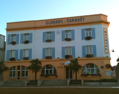
Clohars-Carnoët, Coastal commune in Finistère, France

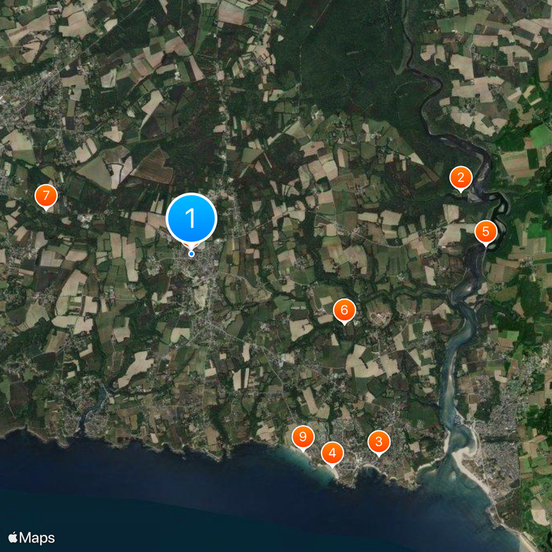
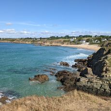
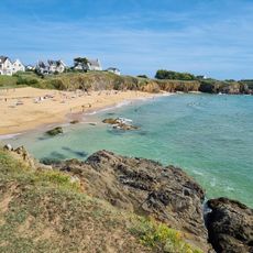
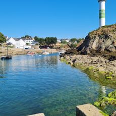
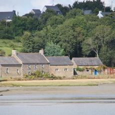
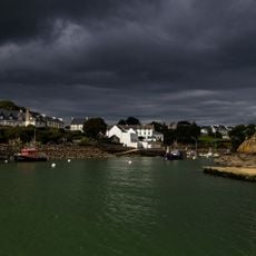
Clohars-Carnoët is a coastal commune in southeastern Finistère that stretches along the Atlantic shoreline, encompassing two working harbors at Le Pouldu and Doëlan separated by rocky headlands. The settlement is organized around these maritime centers, with fishing villages, harbors, and sandy beaches forming the main focal points.

The area shifted during the 19th century from primarily agricultural land to a maritime settlement as fishing harbors were established at Le Pouldu and Doëlan. Alongside the fishing industry, early tourism began to develop as visitors discovered the coastal beaches and natural landscape.

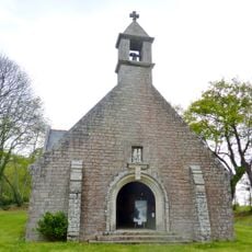
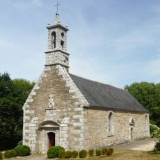
The commune has deep roots in Breton seafaring traditions that are visible in how fishermen still work in the harbors and how locals gather around the ports. The villages retain their maritime character through the boats, fishing gear, and waterfront activities that define daily life here.

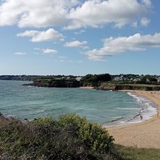
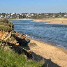
Three main sandy beaches at Le Pouldu offer straightforward access to the ocean for swimming and water activities, with parking areas nearby. Visitors should be aware that tides here are considerable, so beach conditions change significantly throughout the day.

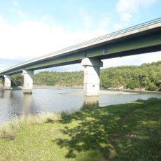
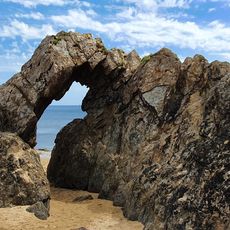
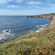
The GR 34 coastal trail runs the full length of the shoreline, connecting the two harbors while displaying the Laïta river estuary below high cliffs. This long-distance walking path passes through different sections of coastline where the geology shifts from sandy shores to rocky outcrops.

Location: Finistère

Location: Kumuniezh kumunioù Bro Kemperle

Location: arrondissement of Quimper

Capital city: Clohars-Carnoët

Elevation above the sea: 44 m

Shares border with: Guidel, Moëlan-sur-Mer, Quimperlé

Address: 29360 Clohars-Carnoët, France

Phone: +33298715390

Email: mairie@clohars-carnoet.fr

Website: http://clohars-carnoet.fr

GPS coordinates: 47.79583,-3.58583

Latest update: December 20, 2025 14:25

Photos
Reviews

Visited this place? Tap the stars to rate it and share your experience / photos with the community! Try now! You can cancel it anytime.

« Clohars-Carnoët - Coastal commune in Finistère, France » is provided by Around Us (aroundus.com). Images and texts are derived from Wikimedia project under a Creative Commons license. You are allowed to copy, distribute, and modify copies of this page, under the conditions set by the license, as long as this note is clearly visible.

Discover hidden gems everywhere you go!

From secret cafés to breathtaking viewpoints, skip the crowded tourist spots and find places that match your style. Our app makes it easy with voice search, smart filtering, route optimization, and insider tips from travelers worldwide. Download now for the complete mobile experience.

Around Us App Screenshot

A unique approach to discovering new places

Le Figaro

All the places worth exploring

France Info

A tailor-made excursion in just a few clicks

20 Minutes