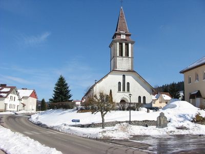
Xonrupt-Longemer, commune in Vosges, France
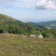
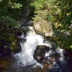
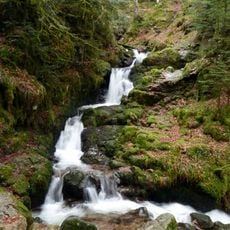
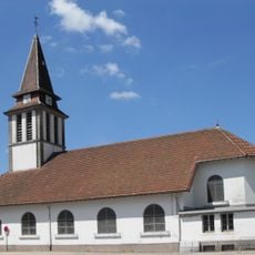
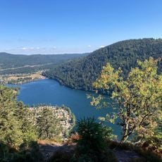
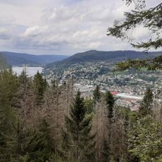
Xonrupt-Longemer is a commune in the Vosges, in northeastern France, made up of two village sections built around a mountain lake called Lac de Longemer. The settlement sits in a forested valley with gently sloping hills, where stone and timber houses are set into the terrain alongside streams and open meadows.
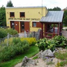
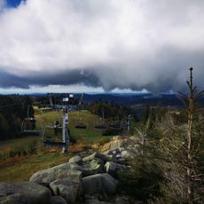
The commune grew from two separate settlements that developed over the centuries as a farming and forestry area in the Vosges mountains. In the 20th century, the valley was gradually opened up to tourism and winter sports, which changed the character of the place and brought in new activity.
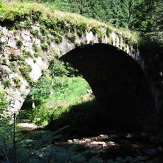
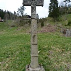
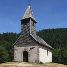
The name Xonrupt-Longemer brings together two formerly separate villages, and this dual origin is still visible today in the way the houses are spread around the lake. Small farms, wooden barns, and simple stone buildings throughout the area reflect a long tradition of rural life tied closely to the forest and the land.
The commune is most easily reached by car, as public transport connections are limited, especially outside the main tourist season. Many walking trails are marked, but the terrain can be slippery or snow-covered depending on the time of year, so sturdy footwear is a good idea.
The Lac de Longemer is one of the few natural lakes in the Vosges that was shaped by glacial processes rather than human intervention. Despite sitting in the middle of the village, swimming is not allowed in the lake, while fishing with a license is permitted and widely practiced by locals.
The community of curious travelers
AroundUs brings together thousands of curated places, local tips, and hidden gems, enriched daily by 60,000 contributors worldwide.