
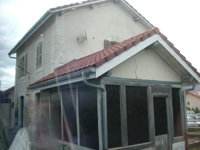
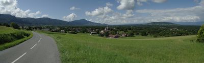
Perrignier, commune in Haute-Savoie, France
Location: canton of Thonon-les-Bains-Ouest
Location: Haute-Savoie
Location: arrondissement of Thonon-les-Bains
Inception: February 19, 2001
Elevation above the sea: 560 m
Shares border with: Allinges, Cervens, Draillant, Lully, Margencel, Sciez
Website: https://perrignier.fr
GPS coordinates: 46.30417,6.44278
Latest update: June 14, 2025 19:31
Château d'Allinges-Vieux
3.7 km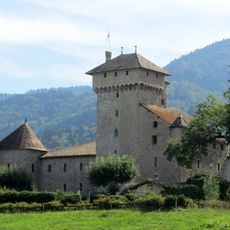
Château d'Avully
4.9 km
Les Aigles du Léman
5.9 km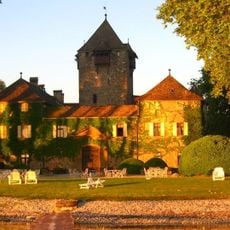
Coudrée Castle
6.1 km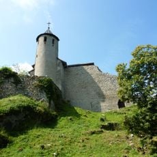
Château-Neuf d'Allinges
3.4 km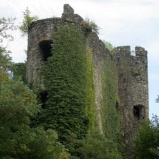
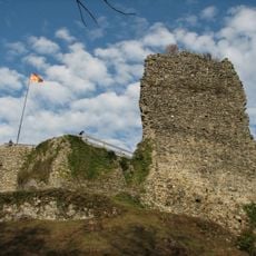
Château de la Rochette
1.9 km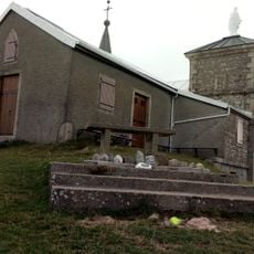
Chapelle Notre-Dame-des-Hermones
5.8 km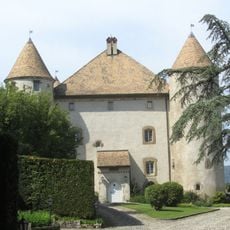
Château de Buffavent
3.3 km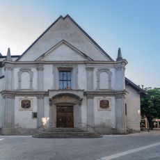
Église Saint-Hippolyte de Thonon-les-Bains
8.1 km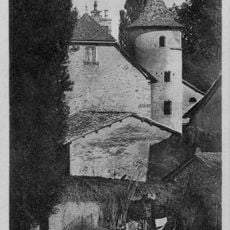
Château de Marclaz
5.8 km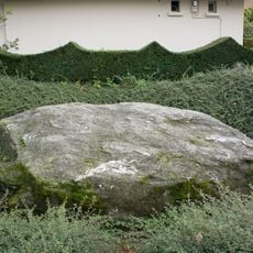
Pierre des sacrifices
6.3 km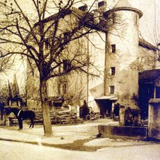
Château de la Tour de Marignan
6.1 km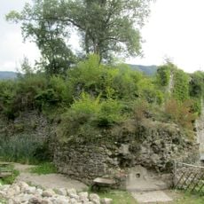
Château de Cursinges
1.3 km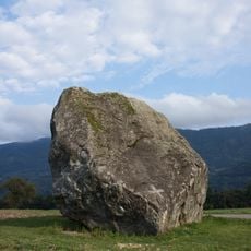
Bloc erratique sculpté d'Allinges
4.1 km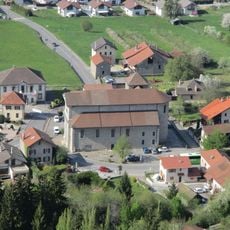
Église Notre-Dame de l'Assomption d'Allinges
3.9 km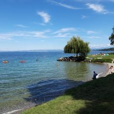
Plage des Balises
6.5 km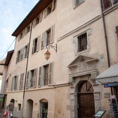
Château des Guillet-Monthoux
8.1 km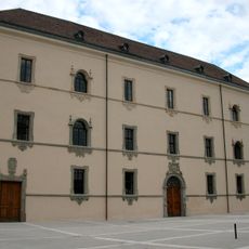
Hôtel-Dieu
7.7 km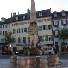
Fontaine de l'Hôtel de ville
8.1 km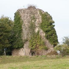
Tour du Draillant
1.1 km
Château de Boisy
7.5 km
Plage du Champ de l'Eau
6.6 km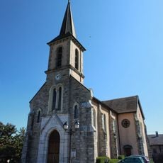
Église Saint-Barthélemy d'Anthy-sur-Léman
5.8 km
Château de Bellegarde
8.1 km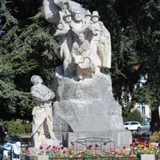
Thonon-les-Bains war memorial
7.9 km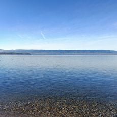
Plage municipale de Sciez
5.7 km
Plage du Redon
6.1 km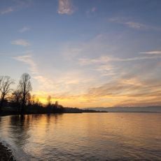
Plage de Séchex
6 kmReviews
Visited this place? Tap the stars to rate it and share your experience / photos with the community! Try now! You can cancel it anytime.
Discover hidden gems everywhere you go!
From secret cafés to breathtaking viewpoints, skip the crowded tourist spots and find places that match your style. Our app makes it easy with voice search, smart filtering, route optimization, and insider tips from travelers worldwide. Download now for the complete mobile experience.

A unique approach to discovering new places❞
— Le Figaro
All the places worth exploring❞
— France Info
A tailor-made excursion in just a few clicks❞
— 20 Minutes