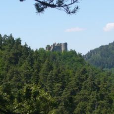
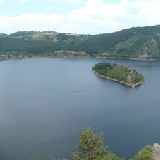
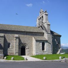
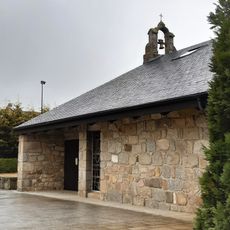
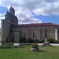
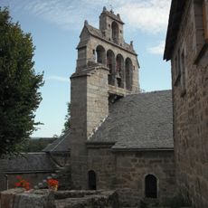
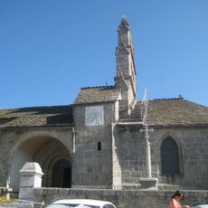
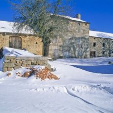
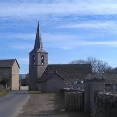
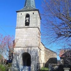
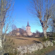
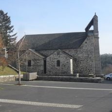
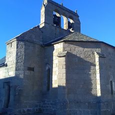
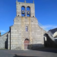
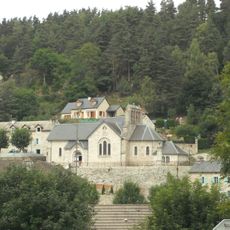
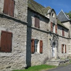
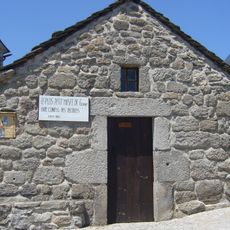
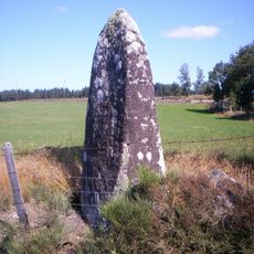
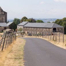
Saint-Just, former commune in Cantal, France
Location: canton of Ruynes-en-Margeride
Location: Cantal
Location: arrondissement of Saint-Flour
Elevation above the sea: 880 m
Shares border with: Loubaresse, Saint-Marc, Albaret-le-Comtal, Albaret-Sainte-Marie, Les Monts-Verts
Website: http://saintjust.com
GPS coordinates: 44.89028,3.20861
Latest update: March 4, 2025 08:21
Château de Longevialle
6.7 km
Château du Chassan
7.4 km
Château d'Orfeuillette
4.2 km
Château de la Garde
4.7 km
Géoscope
3.9 km
Île du Château
7.9 km
Île de Chante-Dur
8.2 km
Château d'Orfeuillette
4.2 km
Église Saint-Mary d'Albaret-Sainte-Marie
4.4 km
Église Notre-Dame-de-l'Assomption de la Garde
3.2 km
Église Saint-Barthélemy de Saint-Léger-du-Malzieu
7.9 km
Église Saint-Julien de Blavignac
6.2 km
Église Saint-Barthélemy d'Albaret-le-Comtal
6.6 km
Église Saint-Martin de Chaliers
7.5 km
Ferme d'Estremiac
1.5 km
Église Sainte-Croix de Montchanson
4.8 km
Ferme Torrette
4.9 km
Église des Saints-Innocents-et-Notre-Dame de Bournoncles
4.7 km
Église Sainte-Marie de Berc
6.4 km
Église de l'Assomption de Loubaresse
5 km
Ferme Allègre
4.9 km
Église Sainte-Madeleine d'Arcomie
3.3 km
Église Saint-Pierre-et-Saint-Paul du Bacon
3.6 km
Église Saint-Just de Saint-Just
60 m
Maison Roudil
7.5 km
Musée d'Albaret-Sainte-Marie
4.3 km
Pierre Plantée
8 km
Château de Pompignac
5.8 kmReviews
Visited this place? Tap the stars to rate it and share your experience / photos with the community! Try now! You can cancel it anytime.
Discover hidden gems everywhere you go!
From secret cafés to breathtaking viewpoints, skip the crowded tourist spots and find places that match your style. Our app makes it easy with voice search, smart filtering, route optimization, and insider tips from travelers worldwide. Download now for the complete mobile experience.
A unique approach to discovering new places❞
— Le Figaro
All the places worth exploring❞
— France Info
A tailor-made excursion in just a few clicks❞
— 20 Minutes