Enable Location

We need your location to show you interesting places around you

Discover nearby places

Find interesting locations and hidden gems around you

Precise directions

Get accurate directions and distances to places

Your location is never shared with other users. It's only used when you tap the location button.

Raon-l'Étape

Log in to your account

Start exploring — it's free

Trusted by 62,522 travelers worldwide

Continue with Google
Continue with Apple
or

We will send you a code to connect

By continuing, you accept our Terms and Conditions and our Privacy Policy

Check your inbox

We've sent a pincode in your inbox. Please enter the code below.

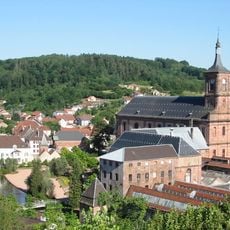
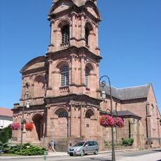
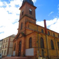
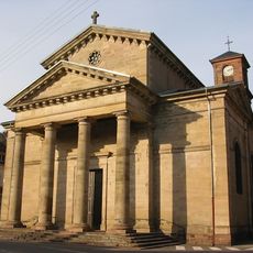
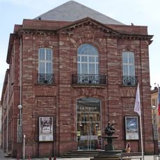
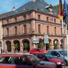
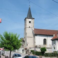
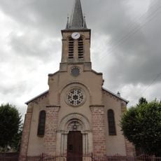
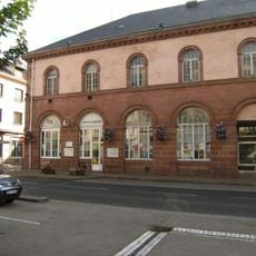
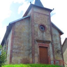
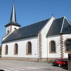
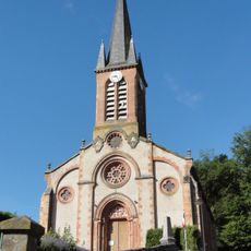
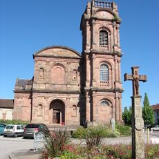
Raon-l'Étape, Commune in the Vosges department, Grand Est region, France.

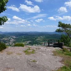
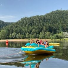
Raon-l'Étape sits at the confluence of the Plaine and Meurthe rivers in northeastern France, covering approximately 124 square kilometers with elevations ranging from 279 to 610 meters above sea level.

The commune was formed in 1947 through the merger of two rival settlements, La Neuveville and the original village, after centuries of separate development dating back to the 13th century.

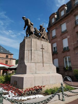
The town was awarded the Croix de guerre 1914–1918 for its resistance during World War I, recognizing its contribution to French military heritage and collective memory.

Located in the arrondissement of Saint-Dié-des-Vosges at an elevation of 371 meters, the commune serves as an administrative territorial entity with level 8 administrative status.

Known historically as the 'Porte des Vosges,' the settlement derived its name from medieval transit rights granted to merchants crossing the mountainous trade routes between France and Alsace.

The community of curious travelers

AroundUs brings together thousands of curated places, local tips, and hidden gems, enriched daily by 60,000 contributors worldwide.

Start exploring
Location
Inception
April 12, 1947
Elevation above the sea
371 m
Shares border with
Bertrichamps, Étival-Clairefontaine, Neufmaisons, Thiaville-sur-Meurthe, Celles-sur-Plaine, Moyenmoutier, Sainte-Barbe
Address
88110 Raon-l'Étape, France
GPS coordinates
48.40583,6.84111
Latest update
August 25, 2025 13:30
« Raon-l'Étape - Commune in the Vosges department, Grand Est region, France » is provided by Around Us (aroundus.com). Images and texts are derived from Wikimedia project under a Creative Commons license. You are allowed to copy, distribute, and modify copies of this page, under the conditions set by the license, as long as this note is clearly visible.

Discover hidden gems everywhere you go!

From secret cafés to breathtaking viewpoints, skip the crowded tourist spots and find places that match your style. Our app makes it easy with voice search, smart filtering, route optimization, and insider tips from travelers worldwide. Download now for the complete mobile experience.

Around Us App Screenshot

A unique approach to discovering new places

Le Figaro

All the places worth exploring

France Info

A tailor-made excursion in just a few clicks

20 Minutes

Around Us
Travel Guide & Maps
Download

Send to your phone

QR Code
1

Open the camera app on your mobile.

2

Point at the QR code with your camera. A notification will appear.

3

Tap the notification to open the link.