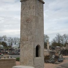
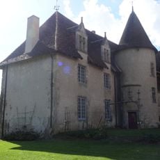
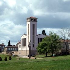
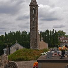
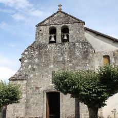
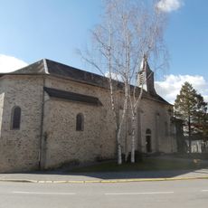
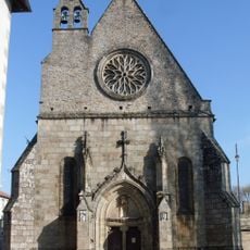
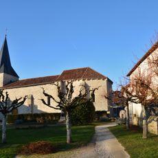
Saint-Victurnien, Commune in Haute-Vienne department, France.
Saint-Victurnien covers approximately 21 square kilometers along the Vienne River, featuring rolling landscapes between 172 and 323 meters elevation with a population of 1,767 residents distributed across varied terrain.
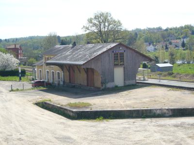
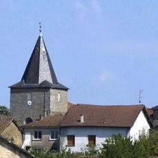
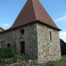
The town's name derives from Saint Victurnien, a regional evangelist from the Middle Ages, and the locality developed through its strategic position and 19th-century railway installations connecting regional centers.
Cultural life centers around the intercommunal music school, municipal library, and numerous associations that organize concerts, festivals, and traditional craft markets throughout the year for residents and visitors.
The commune features a SNCF railway station on the Limoges-Angoulême line, essential public services including post office, pharmacy, medical center with four doctors, and complete educational facilities.
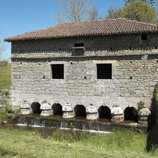
Saint-Victurnien stands as the only commune between Saint-Junien and Aixe-sur-Vienne to span both banks of the Vienne River, creating a distinctive geographical landscape in the region.
Location: canton of Saint-Junien-Est
Location: Communauté de communes Vienne-Glane
Location: Haute-Vienne
Location: arrondissement of Rochechouart
Industry: administration publique générale
Shares border with: Cognac-la-Forêt, Oradour-sur-Glane, Saint-Brice-sur-Vienne, Sainte-Marie-de-Vaux, Verneuil-sur-Vienne, Veyrac
Address: 87420 Saint-Victurnien, France
Phone: +33555038127
Email: mairie.stvicturnien@wanadoo.fr
Website: https://saint-victurnien.fr
GPS coordinates: 45.87778,1.01333
Latest update: July 4, 2025 09:06
Oradour sur Glane memory centre
6 km
Centre de la mémoire d'Oradour
6 km
Collégiale Saint-Junien
8.7 km
Église Saint-Martin-de-Tours d'Oradour-sur-Glane
6 km
Oradour-sur-Glane cemetery
6.4 km
Château de Losmonerie
11 km
Église Saint-Martin d'Oradour-sur-Glane
6.1 km
Château de la Cosse
8.9 km
Pont-colombier
7.5 km
Dolmen de Chez Moutaud
6.8 km
Lantern of the Dead of Cognac-la-Forêt
4.8 km
Dolmen de La Croix-du-Breuil
11.2 km
Menhir du Pic
9.4 km
Menhir de Chez Moutaud
6.9 km
Église Saint-Yrieix de Saint-Yrieix-sous-Aixe
5.5 km
Lanterne des morts de St-Victurnien
525 m
Église Saint-Gentien
10.8 km
Église de Saint-Brice-sur-Vienne
4.7 km
Église Saint-Martin de Saint-Martin-de-Jussac
5.6 km
Église Saint-Victurnien (Saint-Victurnien)
80 m
Chapelle du cimetière de Saint-Junien
8.5 km
Notre-Dame-du-pont
8.9 km
Église Saint-Blaise de Javerdat
8.7 km
Église Saint-Priest de Cognac-la-Forêt
4.8 km
Église Saint-Priest de Saint-Priest-sous-Aixe
9.6 km
Chapelle du cimetière de Cognac-la-Forêt
4.9 km
Église de la Nativité-de-la-Très-Sainte-Vierge de Sainte-Marie-de-Vaux
2.4 km
Chapel of the Château de Losmonerie
10.4 kmReviews
Visited this place? Tap the stars to rate it and share your experience / photos with the community! Try now! You can cancel it anytime.
Discover hidden gems everywhere you go!
From secret cafés to breathtaking viewpoints, skip the crowded tourist spots and find places that match your style. Our app makes it easy with voice search, smart filtering, route optimization, and insider tips from travelers worldwide. Download now for the complete mobile experience.
A unique approach to discovering new places❞
— Le Figaro
All the places worth exploring❞
— France Info
A tailor-made excursion in just a few clicks❞
— 20 Minutes