Authie, River in northern France
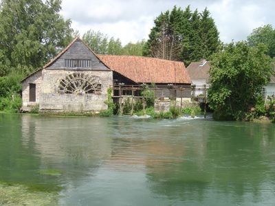
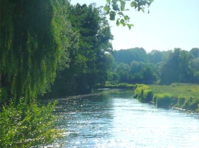
The Authie is a river in northern France that flows for 108 kilometers through the departments of Pas-de-Calais and Somme. It travels from Coigneux village all the way to the English Channel near Berck.
During the 16th century Habsburg conflicts, the river formed the boundary between French Picardy and Spanish Artois. The Treaty of Madrid confirmed this division in the region.
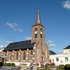
Local residents built underground shelters called muches near the river, mixing church entrances with spaces for families and livestock during troubled times. These structures show how communities adapted the landscape to protect themselves.
The river is influenced by an oceanic climate with average temperatures around 10 degrees Celsius throughout the year. Visitors exploring the area should prepare for changing weather conditions.
The name comes from the pre-Celtic word atur meaning river, while the Latin form Alteia refers to the steep-sided riverbed. These names reflect how ancient languages described the water's physical characteristics.
The community of curious travelers
AroundUs brings together thousands of curated places, local tips, and hidden gems, enriched daily by 60,000 contributors worldwide.