
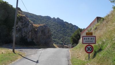
Auriac, commune in Aude, France
Location: canton of Mouthoumet
Location: Aude
Location: communauté de communes Région Lézignanaise, Corbières et Minervois
Location: arrondissement of Narbonne
Elevation above the sea: 608 m
Shares border with: Albières, Fourtou, Lanet, Laroque-de-Fa, Massac, Mouthoumet, Soulatgé
Phone: +33468700138
Email: auriac.mairie@orange.fr
GPS coordinates: 42.93111,2.49222
Latest update: June 12, 2025 01:39

Peyrepertuse
8.5 km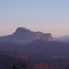
Pic de Bugarach
11.9 km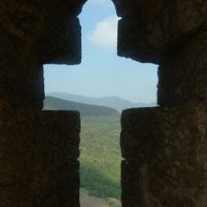
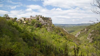
Château de Termes
9.5 km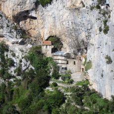
Ermitage Saint-Antoine de Galamus
10.4 km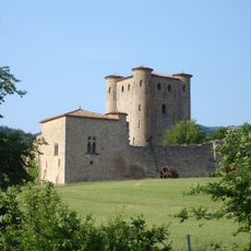
Château d'Arques
10.5 km
Parc naturel régional Corbières-Fenouillèdes
3.5 km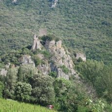
Château de Durfort
10.6 km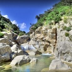
Gorges du Verdouble
10.9 km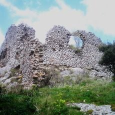
Château d'Auriac
152 m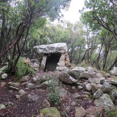
Dolmen de Trillol
7.4 km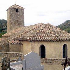
Église Notre-Dame de Félines-Termenès
12 km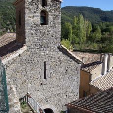
Église Notre-Dame de Termes
9.6 km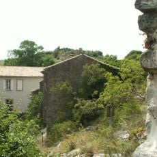
Chapelle Saint-André
1.4 km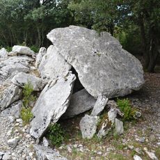
Dolmens de l'Arco del Pech
7.6 km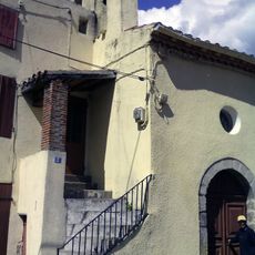
Église Saint-Martin de Prugnanes
12.8 km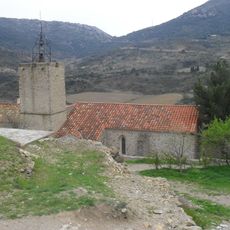
Église Saint-Julien-et-Sainte-Basilisse de Cucugnan
12.6 km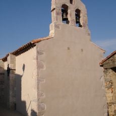
Église Notre-Dame de Montjoi
7 km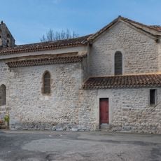
Église Saint-Cyr-et-Sainte-Julitte de Laroque-de-Fa
6.6 km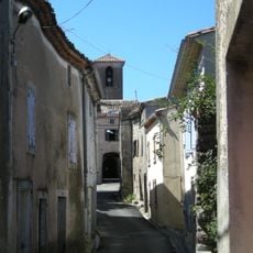
Église Saint-Julien-et-Sainte-Basilisse de Mouthoumet
4.3 km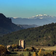
Arboretum Du Planel
10 km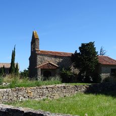
Église Saint-Vincent de Salza
5.9 km
Église de Bugarach
13 km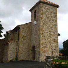
Église Saint-Martin d'Albières
2.2 km
Église Saint-Étienne d'Arques
9.9 km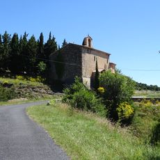
Église Saint-Julien de Massac
6.7 km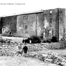
Château de Bouisse
7 km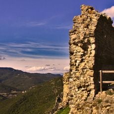
Chapelle castrale de Termes
9.5 km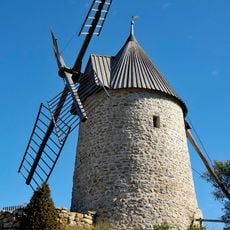
Moulin de Cucugnan
12.6 kmReviews
Visited this place? Tap the stars to rate it and share your experience / photos with the community! Try now! You can cancel it anytime.
Discover hidden gems everywhere you go!
From secret cafés to breathtaking viewpoints, skip the crowded tourist spots and find places that match your style. Our app makes it easy with voice search, smart filtering, route optimization, and insider tips from travelers worldwide. Download now for the complete mobile experience.

A unique approach to discovering new places❞
— Le Figaro
All the places worth exploring❞
— France Info
A tailor-made excursion in just a few clicks❞
— 20 Minutes