
Fours, commune in Gironde, France
Location: canton of Blaye
Location: Gironde
Location: arrondissement of Blaye
Industry: administration publique générale
Shares border with: Eyrans, Saint-Genès-de-Blaye, Saint-Seurin-de-Cursac, Mazion, Saint-Androny
Phone: +33557428366
Email: mairie@fours33.fr
Website: https://fours33.fr
GPS coordinates: 45.17361,-0.62917
Latest update: March 4, 2025 08:13

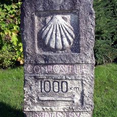
Way of Saint James UNESCO World Heritage Sites in France
7.5 km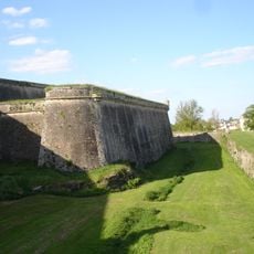
Cidadel of Blaye
5.7 km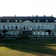
Château Ducru-Beaucaillou
8.6 km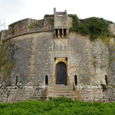
Fort Paté
7.3 km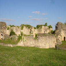
Château des Rudel
5.6 km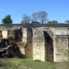
Basilica of Saint-Romain
5.6 km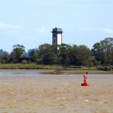
Phare de Patiras
6.6 km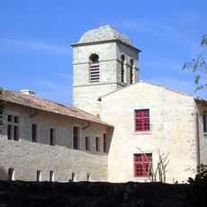
Couvent des Minimes de Blaye
5.9 km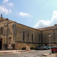
Église Saint-Romain de Blaye
5.5 km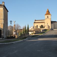
Église Saint-Pierre de Cars
4.8 km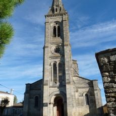
Église Saint-Paul
3.4 km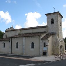
Église de Saint-Martin-Lacaussade
3.4 km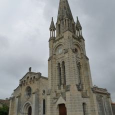
Église Saint-Androny de Saint-Androny
2.4 km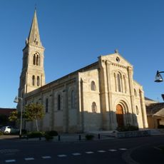
Église Notre-Dame de Mazion
1.7 km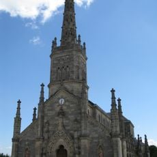
Église Saint-Julien de Saint-Julien-Beychevelle
8.7 km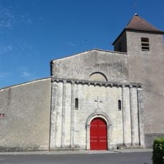
Église Saint-Martial d'Anglade
4.3 km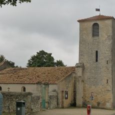
Église Saint-Louis
80 m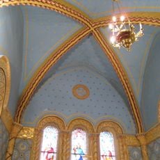
Église Saint-Romain de Cartelègue
4.1 km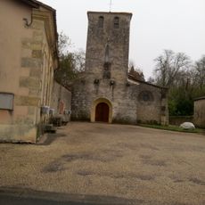
Église Saint-Genès de Saint-Genès-de-Blaye
1.6 km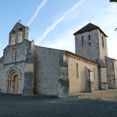
Église Saint-Genès
6.3 km
Église Saint-Pierre d'Eyrans
1.9 km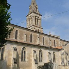
Église Sainte-Marie-Madeleine d'Étauliers
7 km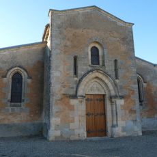
Église Saint-Seurin
1.4 km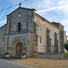
Église Saint-Pierre de Campugnan
5.2 km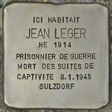
Stolperstein dedicated to Jean Leger
4 km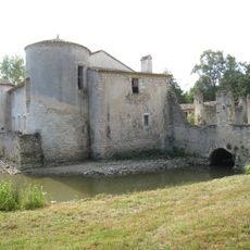
Maison forte du Prat
5.1 km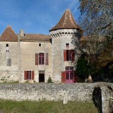
Maison forte de Boisset
6.2 km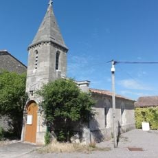
Temple d'Anglade
4.1 kmVisited this place? Tap the stars to rate it and share your experience / photos with the community! Try now! You can cancel it anytime.
Discover hidden gems everywhere you go!
From secret cafés to breathtaking viewpoints, skip the crowded tourist spots and find places that match your style. Our app makes it easy with voice search, smart filtering, route optimization, and insider tips from travelers worldwide. Download now for the complete mobile experience.

A unique approach to discovering new places❞
— Le Figaro
All the places worth exploring❞
— France Info
A tailor-made excursion in just a few clicks❞
— 20 Minutes