
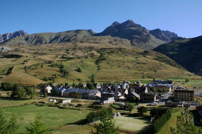
Larche, former commune in Alpes-de-Haute-Provence, France
Location: Alpes-de-Haute-Provence
Location: arrondissement of Barcelonnette
Elevation above the sea: 3,165 m
Shares border with: Jausiers, Meyronnes, Saint-Étienne-de-Tinée, Argentera, Acceglio
GPS coordinates: 44.45139,6.84667
Latest update: June 9, 2025 06:01
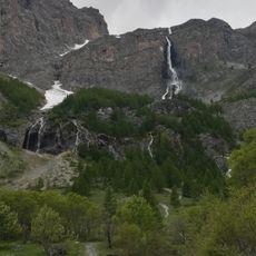
Cascate di Stroppia
7.5 km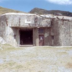
Ouvrage Saint Ours Haut
3.7 km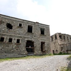
Ouvrage Roche-la-Croix
4 km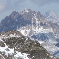
Tête de Moïse
7.1 km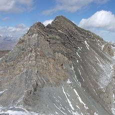
Enciastraia
10 km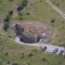
Ouvrage Saint Ours Bas
3.7 km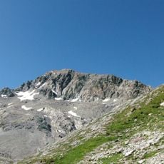
Tête de Sautron
4.7 km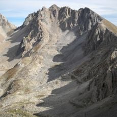
Monte Oserot
12.5 km
Monte Scaletta
8.8 km
Rocca Blancia
5.5 km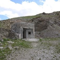
Ouvrage Granges Communes
12.6 km
Bivacco Bonelli
6.3 km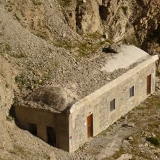
Bivacco Enrico e Mario
7.5 km
Rocca dei Tre Vescovi
10.5 km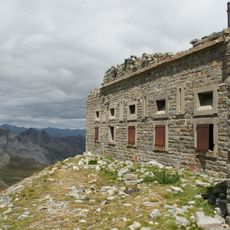
Point d'appui de Pelousette
12.1 km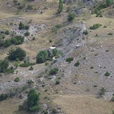
Ouvrage Fontvive Nord-ouest
4.3 km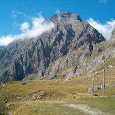
Rocca Bianca
6.6 km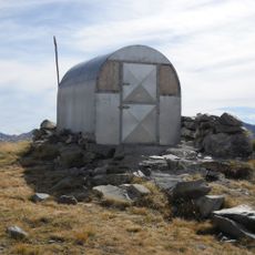
Bivacco Le Due Valli
10.8 km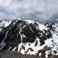
Mont Bal
14.2 km
Mont Soubeyran
5.1 km
Monte Vallonasso
4.2 km
Cima delle Lose
10.8 km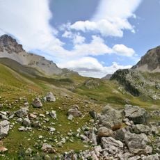
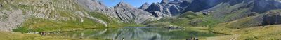
Vallon de l'Orrenaye
5.9 km
Orrenaye
7.9 km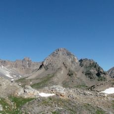
Monte Baueria
6.9 km
Cappella di Santa Margherita
7.6 km
San Lorenzo
12.6 km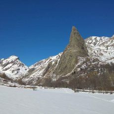
Sorgenti del Maira, Bosco di Saretto, Rocca Provenzale
7.4 kmReviews
Visited this place? Tap the stars to rate it and share your experience / photos with the community! Try now! You can cancel it anytime.
Discover hidden gems everywhere you go!
From secret cafés to breathtaking viewpoints, skip the crowded tourist spots and find places that match your style. Our app makes it easy with voice search, smart filtering, route optimization, and insider tips from travelers worldwide. Download now for the complete mobile experience.

A unique approach to discovering new places❞
— Le Figaro
All the places worth exploring❞
— France Info
A tailor-made excursion in just a few clicks❞
— 20 Minutes